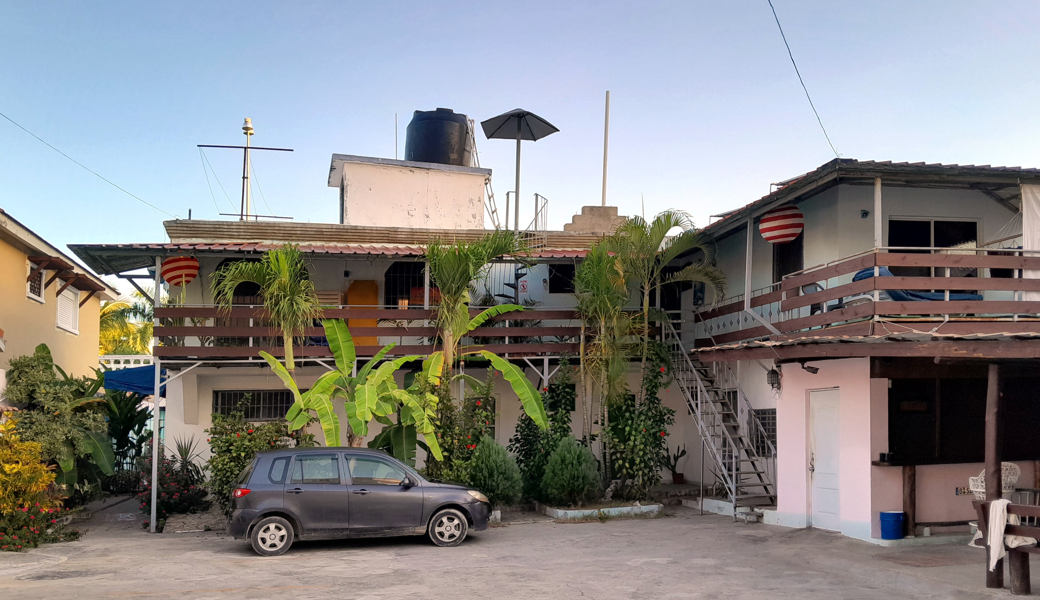
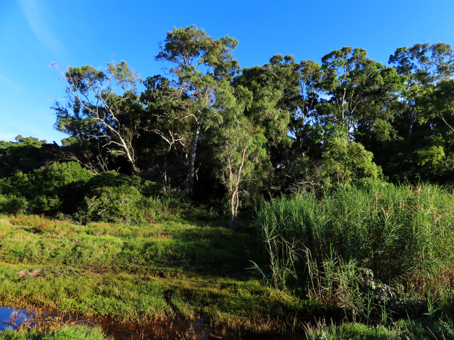
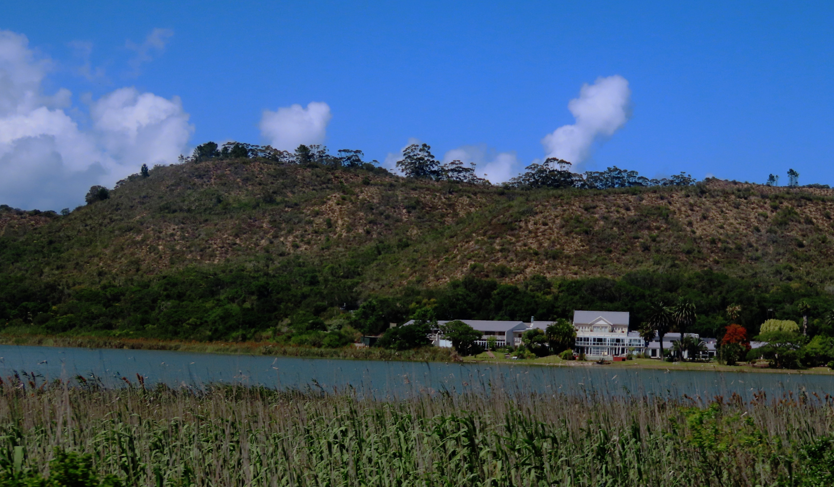
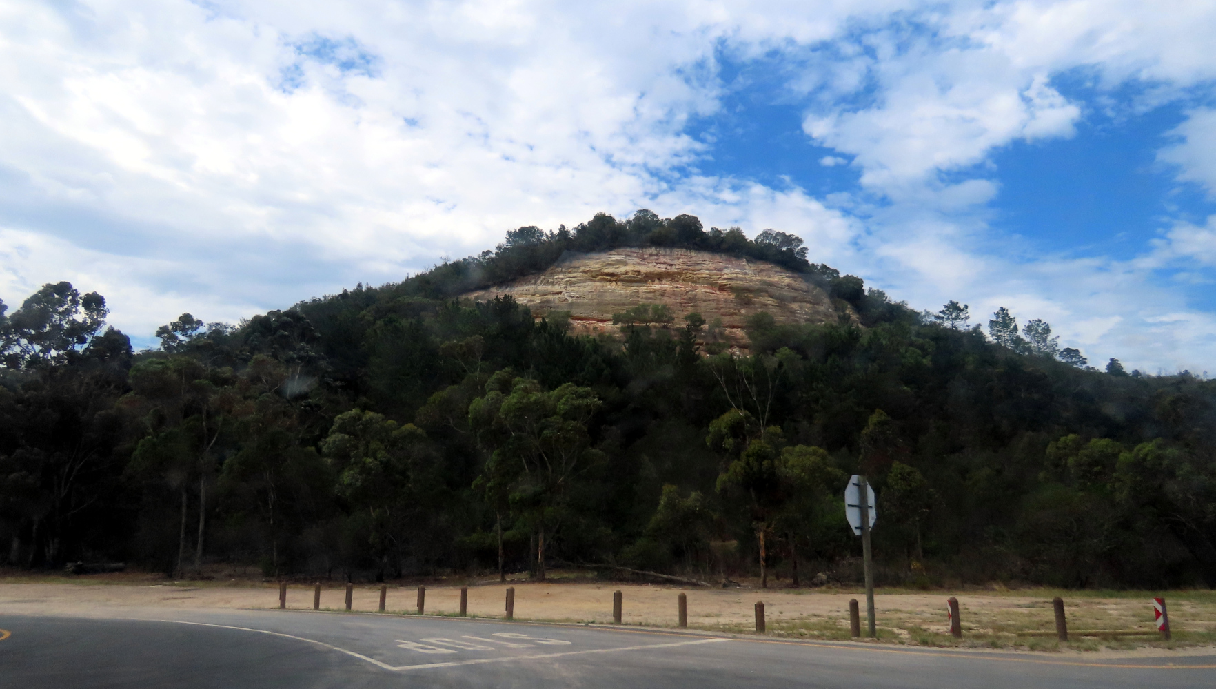
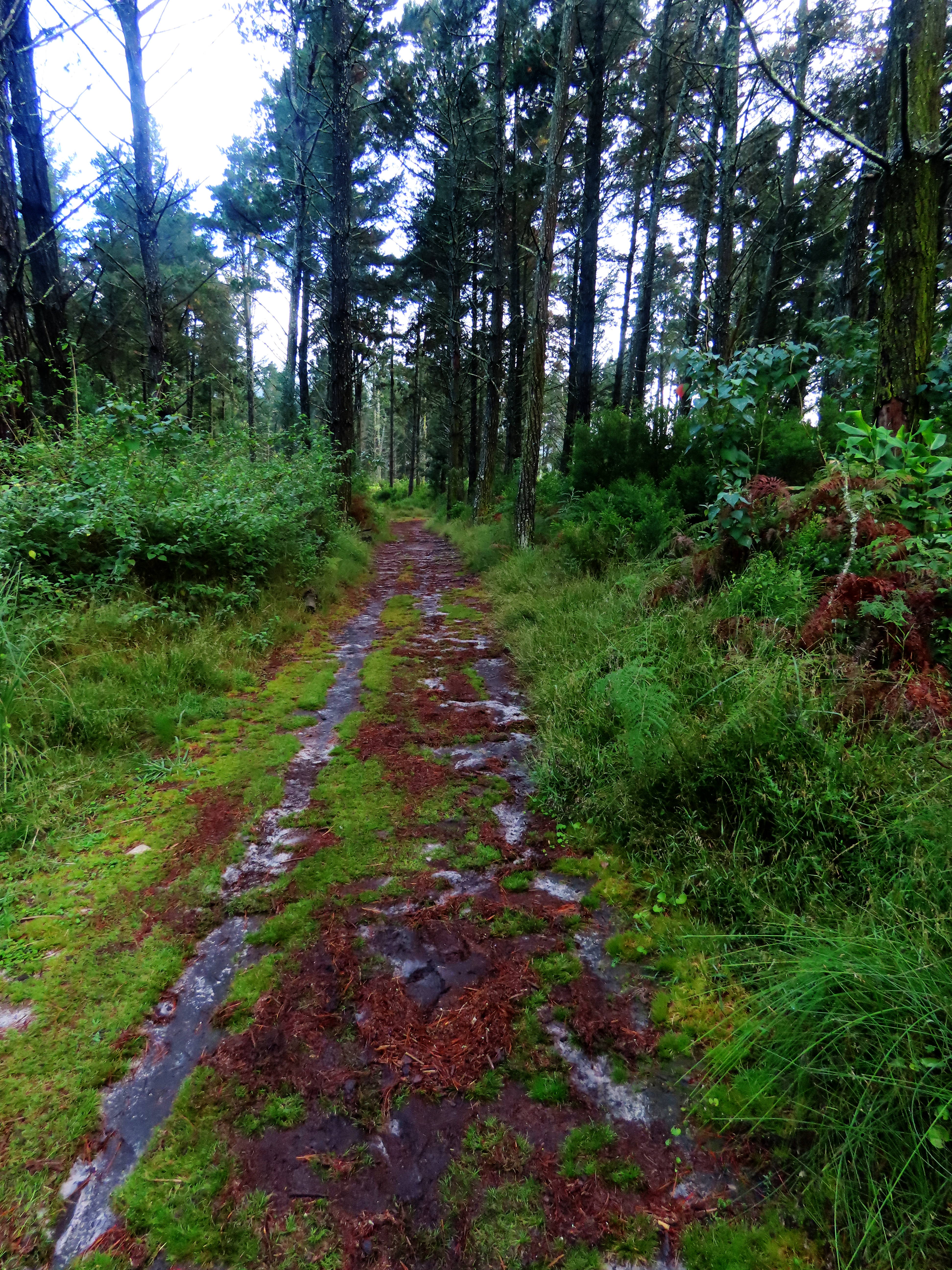
This entry begins and ends with towns that were not forgotten, Eldorado, Cottonwood Falls, and Strong City, although all of them probably have their glory days behind them. The towns in between, Teterville, Matfield Green, and Bazaar, struggling, ghost, or – in the case of Teterville – no longer even qualifying as ghost town. Most of these photos were from a rainy day trip. If it wasn’t for that I would have wanted to linger more. Especially for a closer look at those majestic range-roaming mustangs, the wild horses of these Flint Hills.
ELDORADO
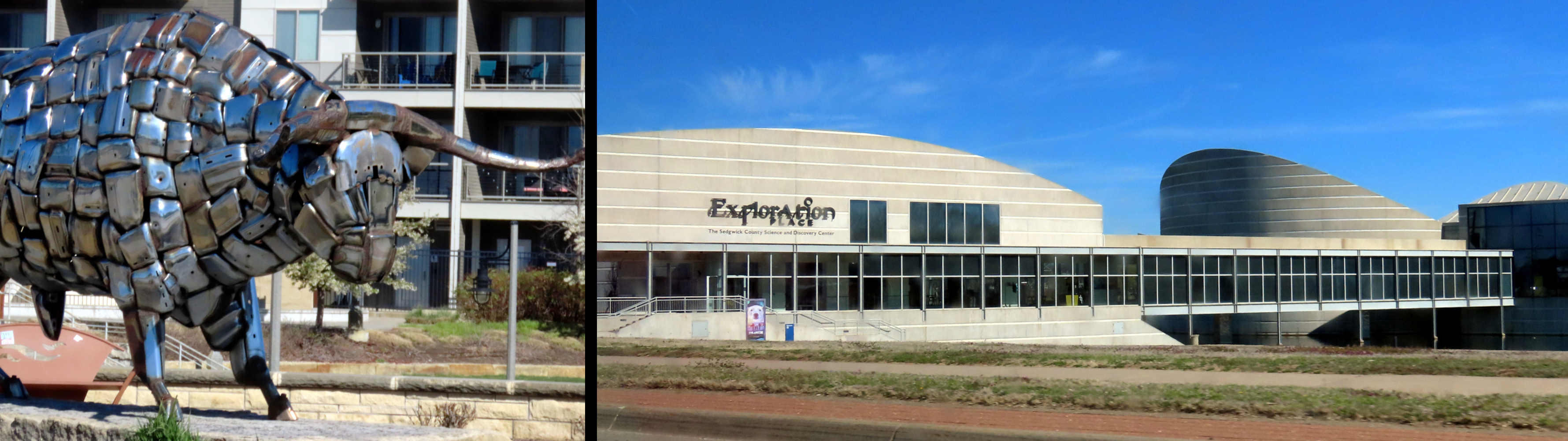
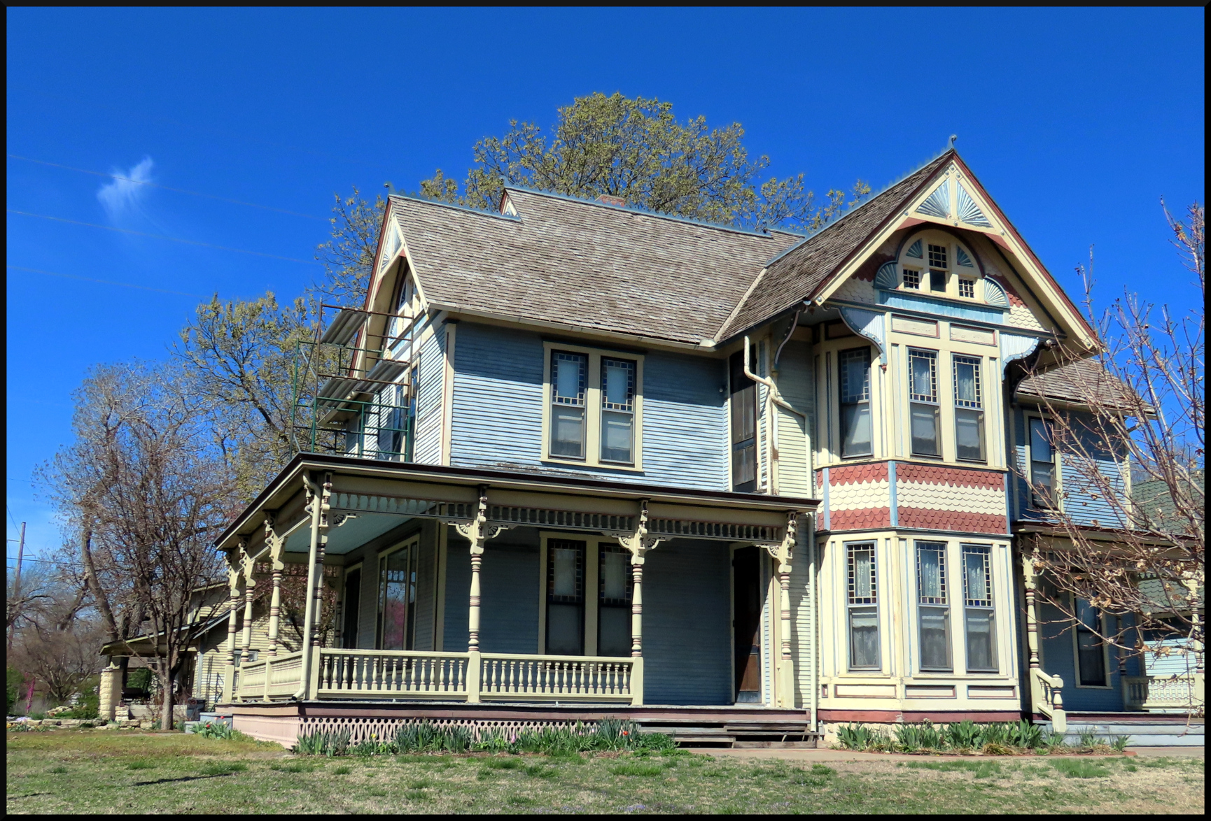
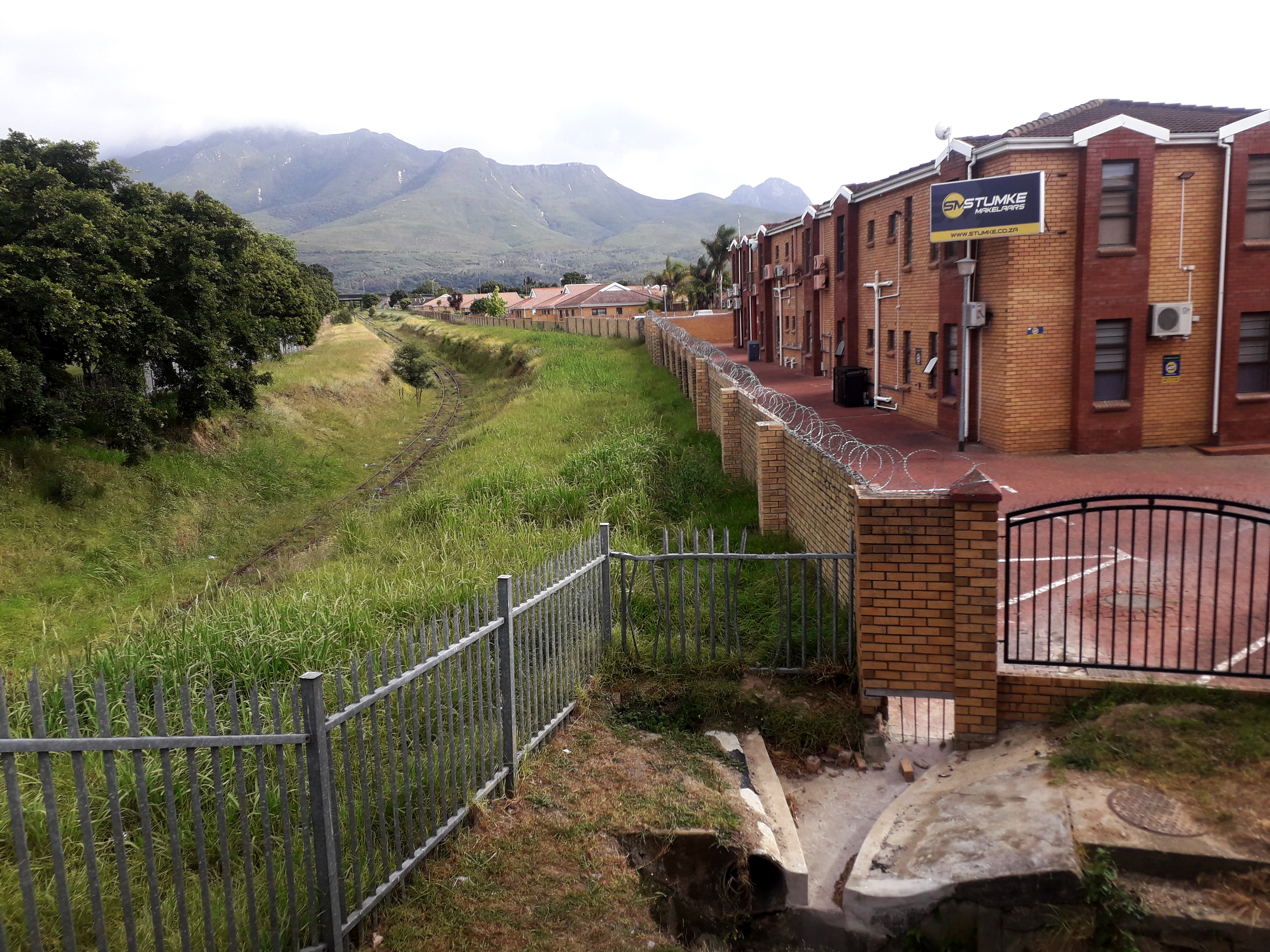
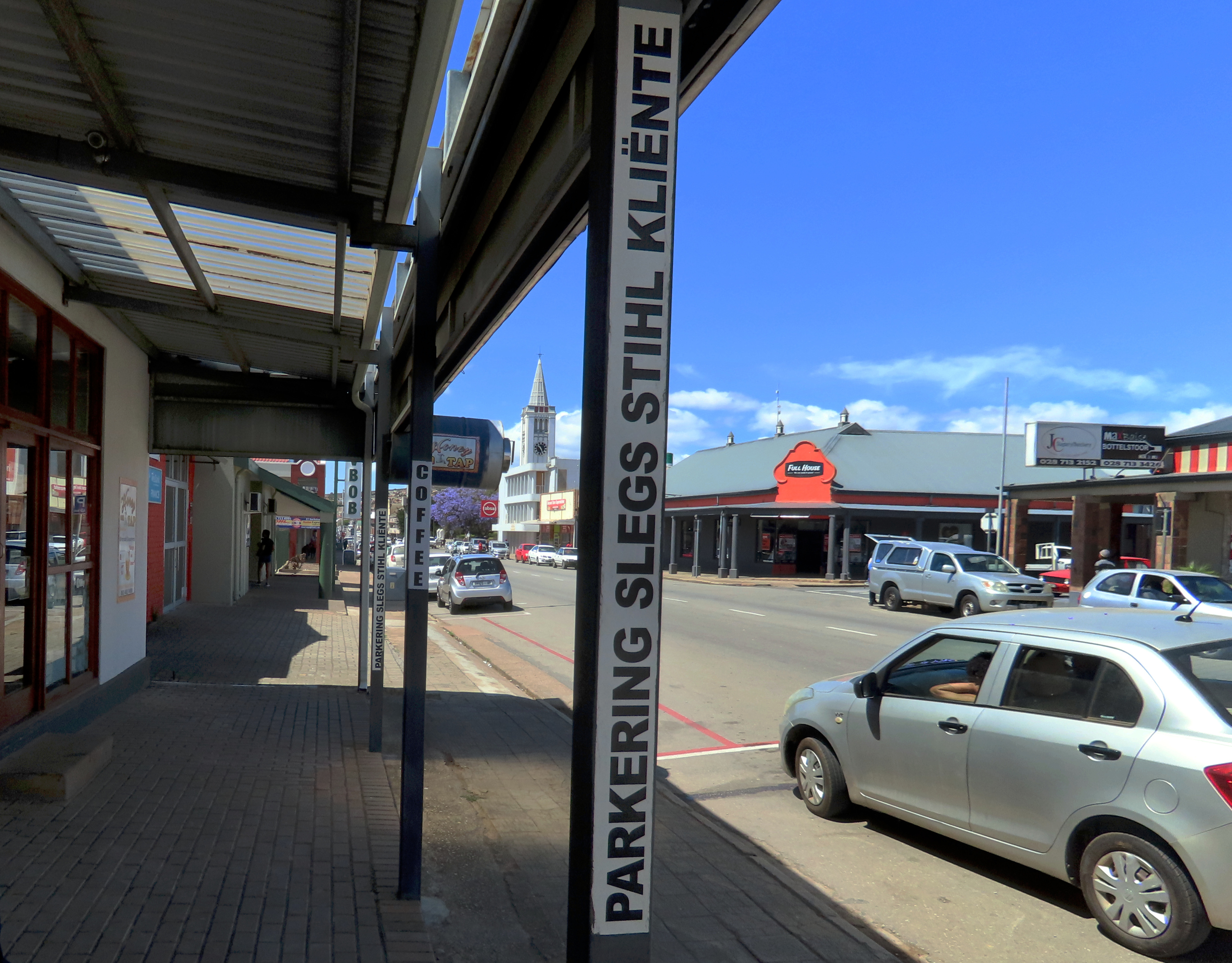
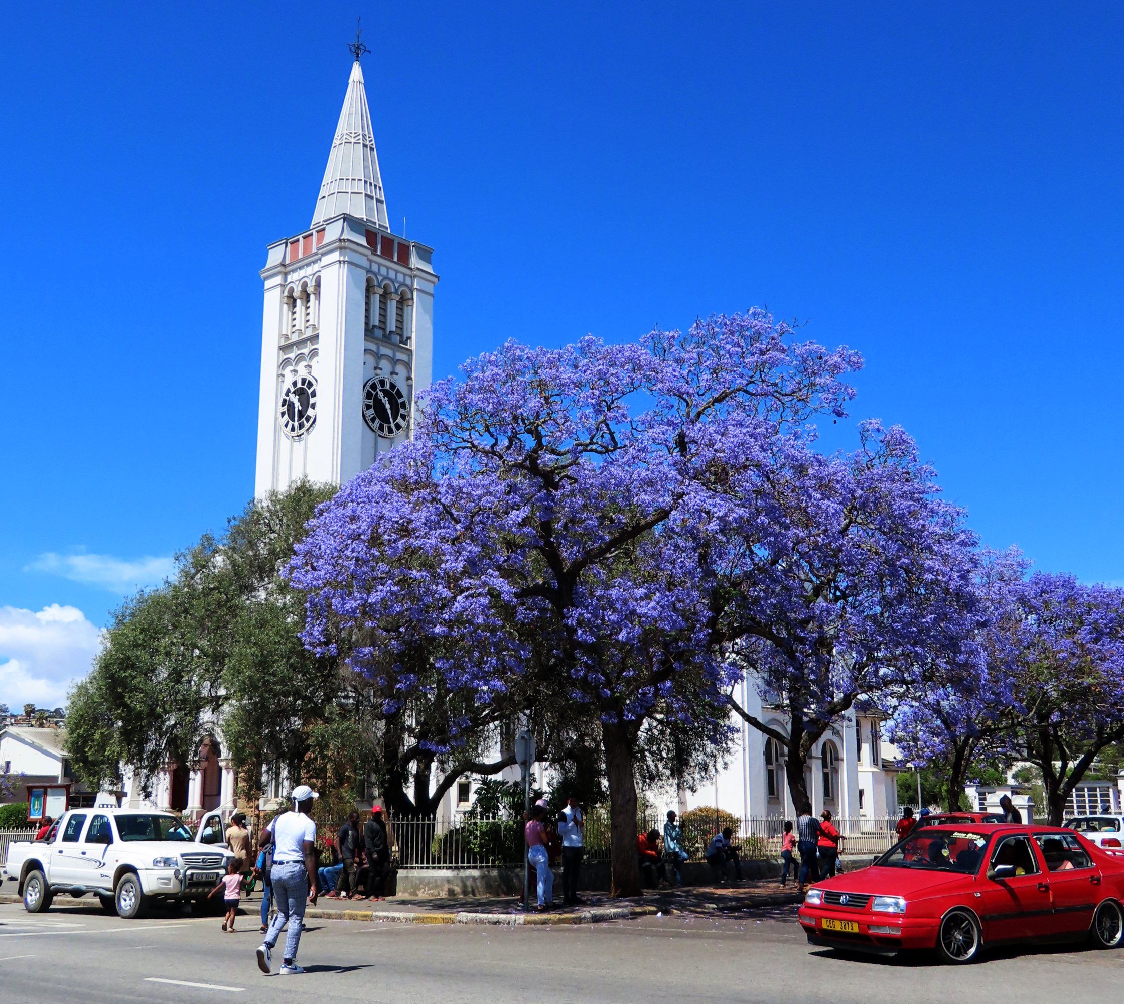
El Dorado, Kansas (sometimes spelled Eldorado, one word. Usually by locals), named after that ancient ill-starred quest for gold. They searched for gold, but settled for oil. Settled in large numbers. When oil was first discovered northwest of town at the Stapleton#1 oil well on October 6, 1915 many more settlers flowed in from the east, in only three years more than tripling the town’s population to around 1000. By this time the Eldorado area had become the largest oil producer in the country. Yielding, according to Wikipedia “29-36 million barrels a day, equating to 64% of Kansas output and up to 9% of the national output.“
Through the mid–century oil output was still respectable but in the seventy years since production gradually waned, going from almost two million barrels in 1966, from 939 wells to below 300,000 last year (2023) from 515 wells. The decline in oil production and the earlier decline in cattle droving are the main reasons for the shrinking or disappearance of towns in this area. Like mushrooms after a good rain they sprang up and, like mushrooms in the dry spell, they faded away.

Detailed information on yearly production of the El Dorado oil fields can be found here:
https://chasm.kgs.ku.edu/ords/oil.ogf4.IDProdQuery?FieldNumber=1000146901
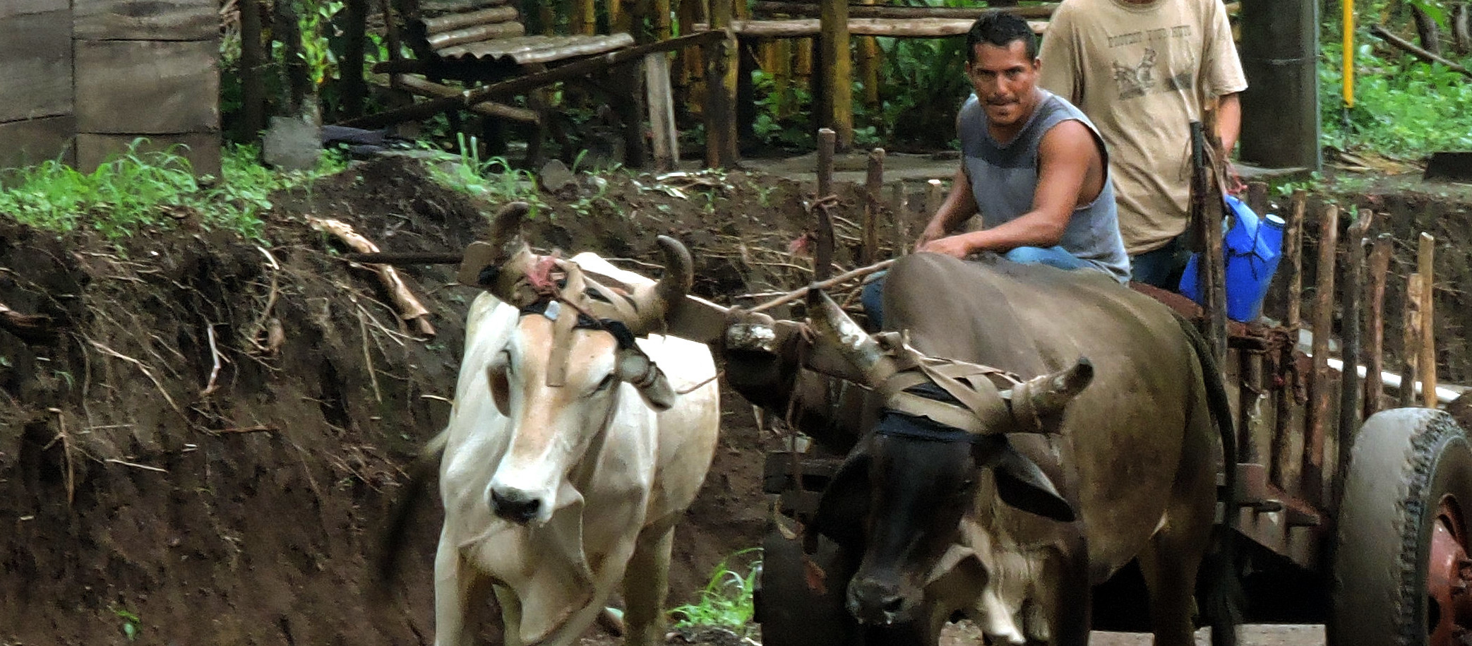
TETERVILLE
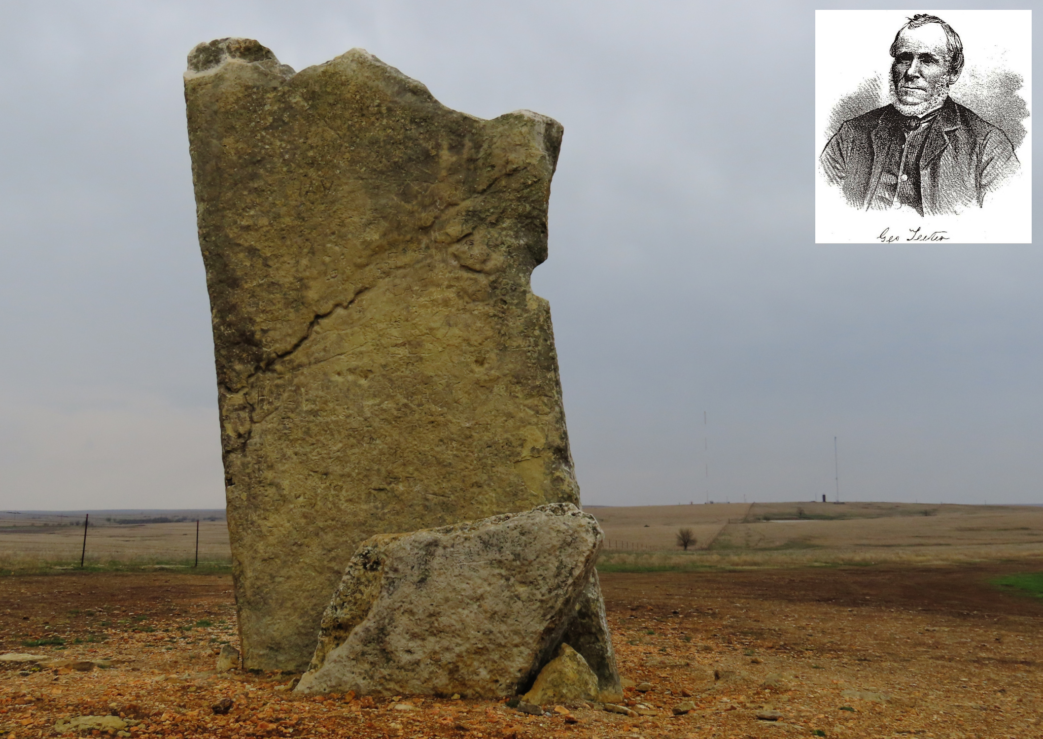
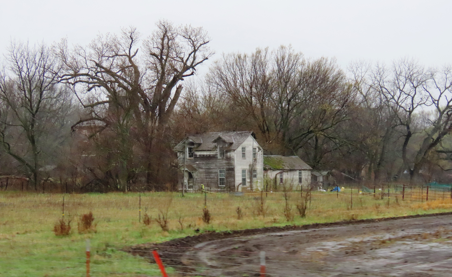
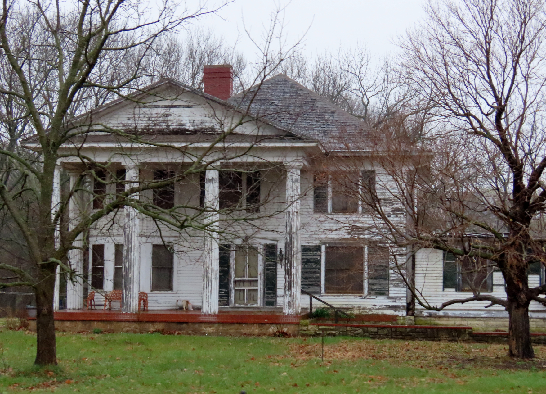
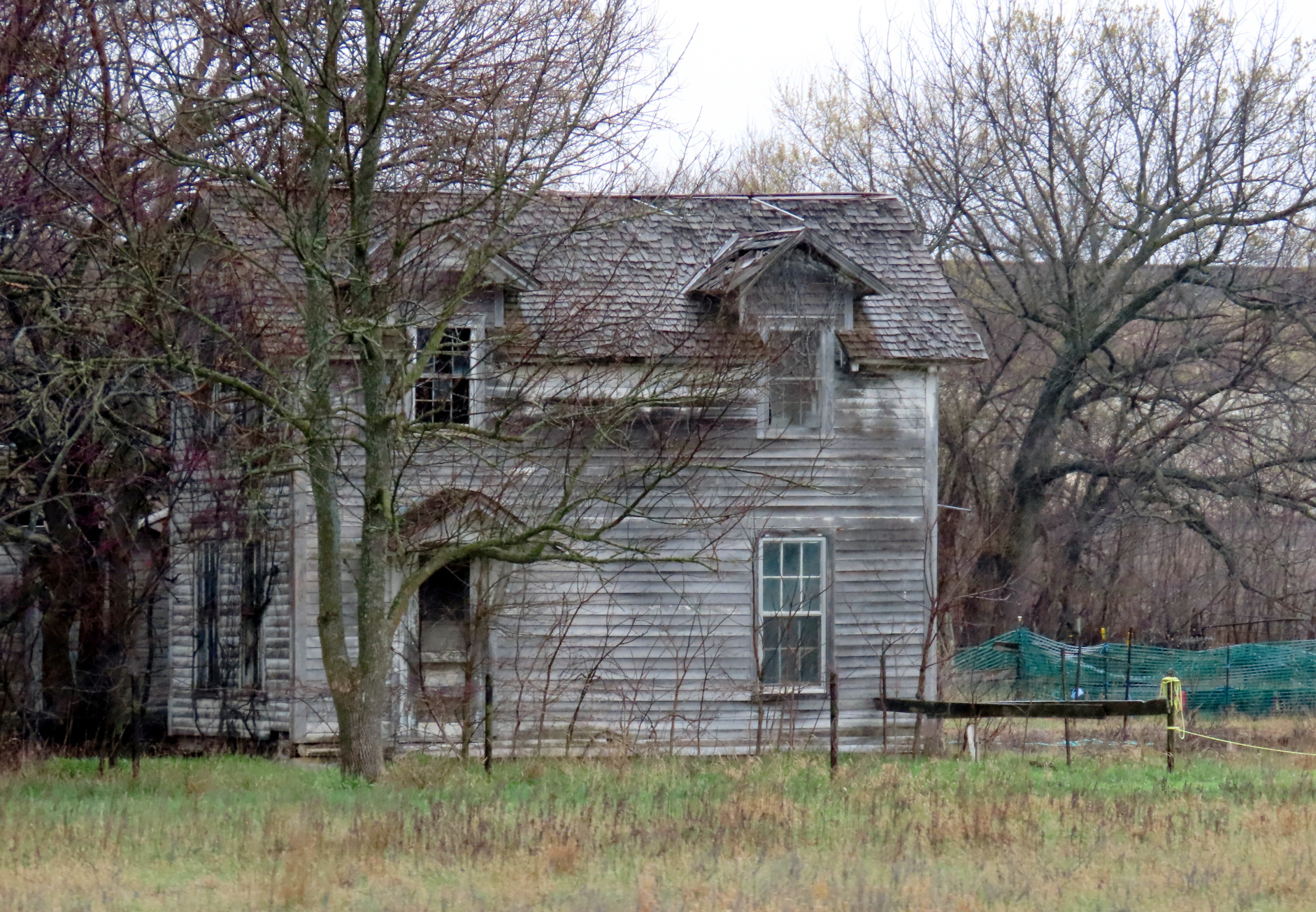
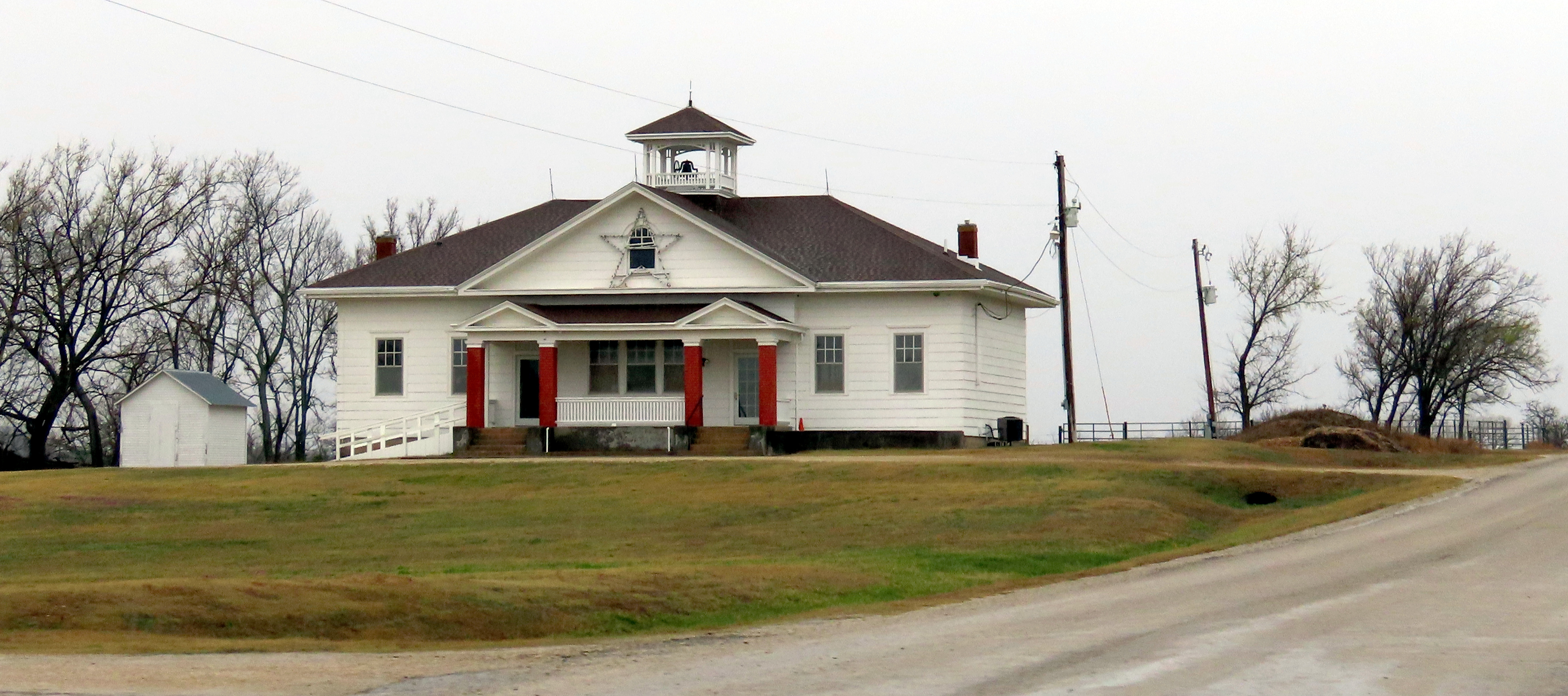
This town came into existence in 1859 but really grew when oil was discovered around 1920. There were several houses here, two churches (Baptist and Methodist), several mills, a school, blacksmiths, general stores, and, in 1927, even a post office that stayed in business until 1962.
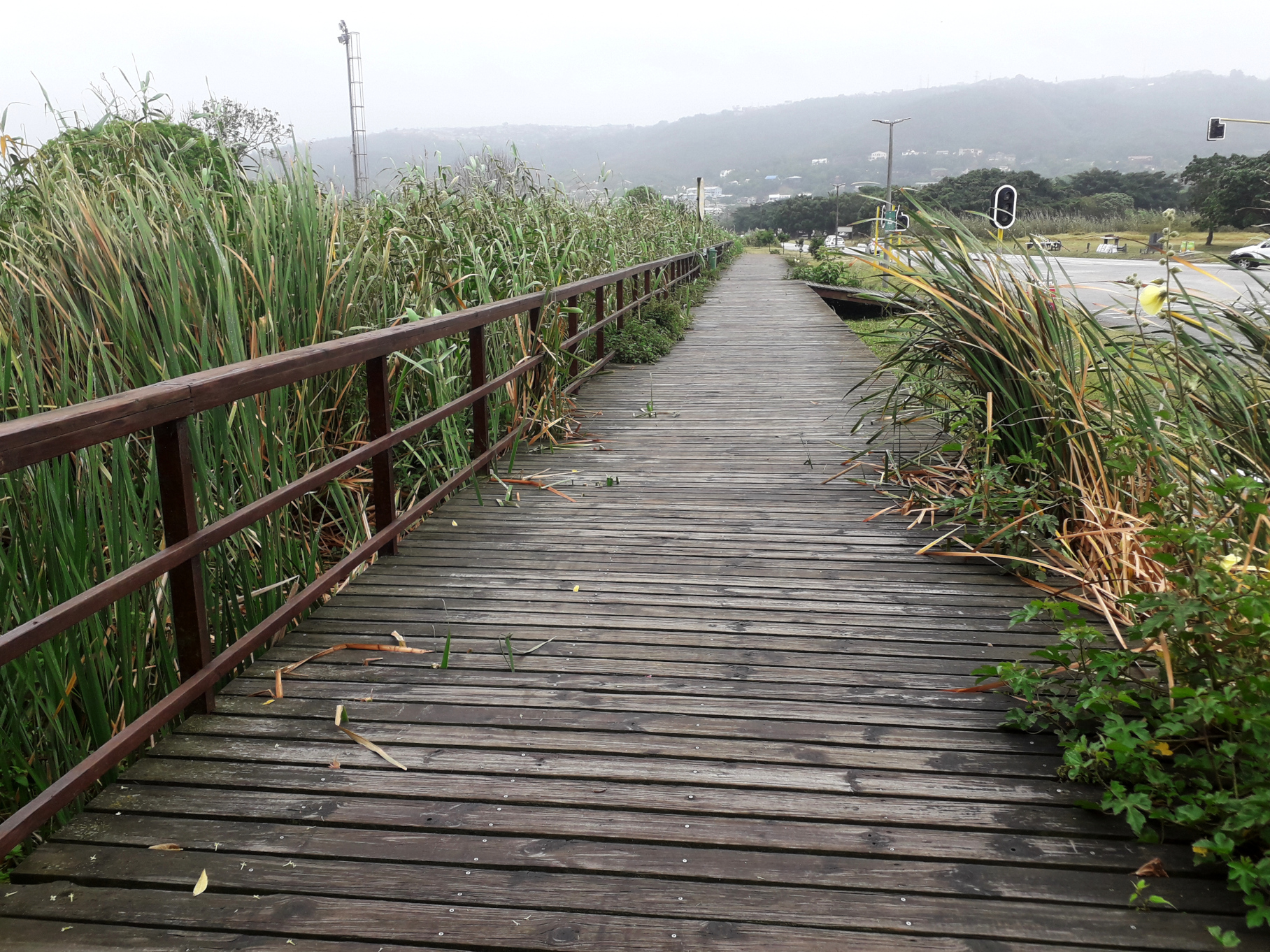
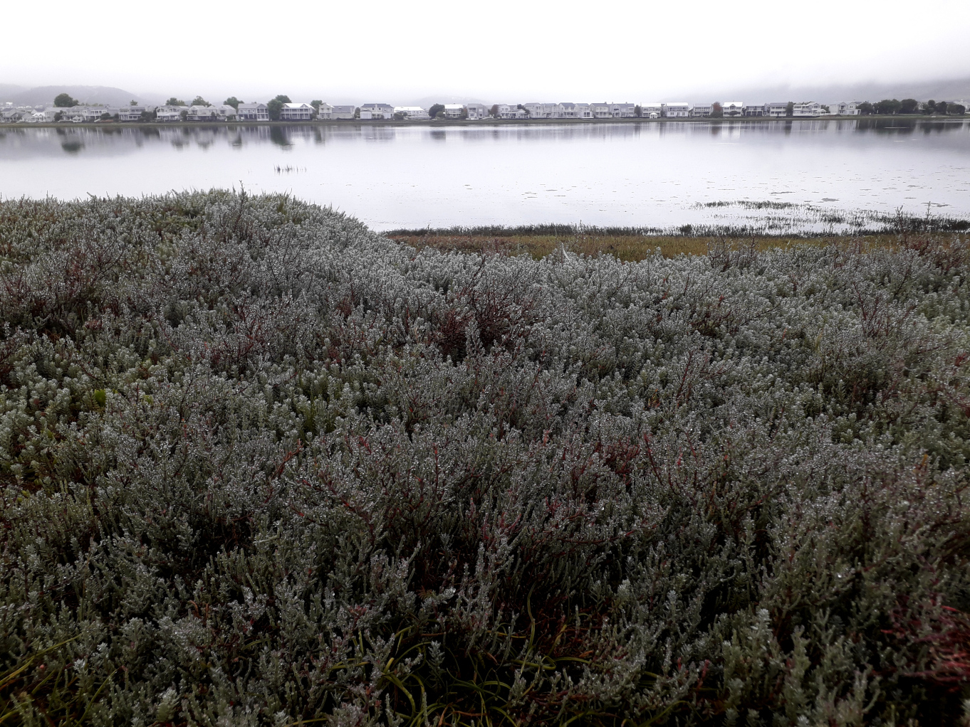
These views are, respectively, to the east and south – as seen from the houses that used to be here. Seen from the air in Google Earth you can still see, mixed in with the loops of off-road vehicles, the faint straight lines of the town that was.

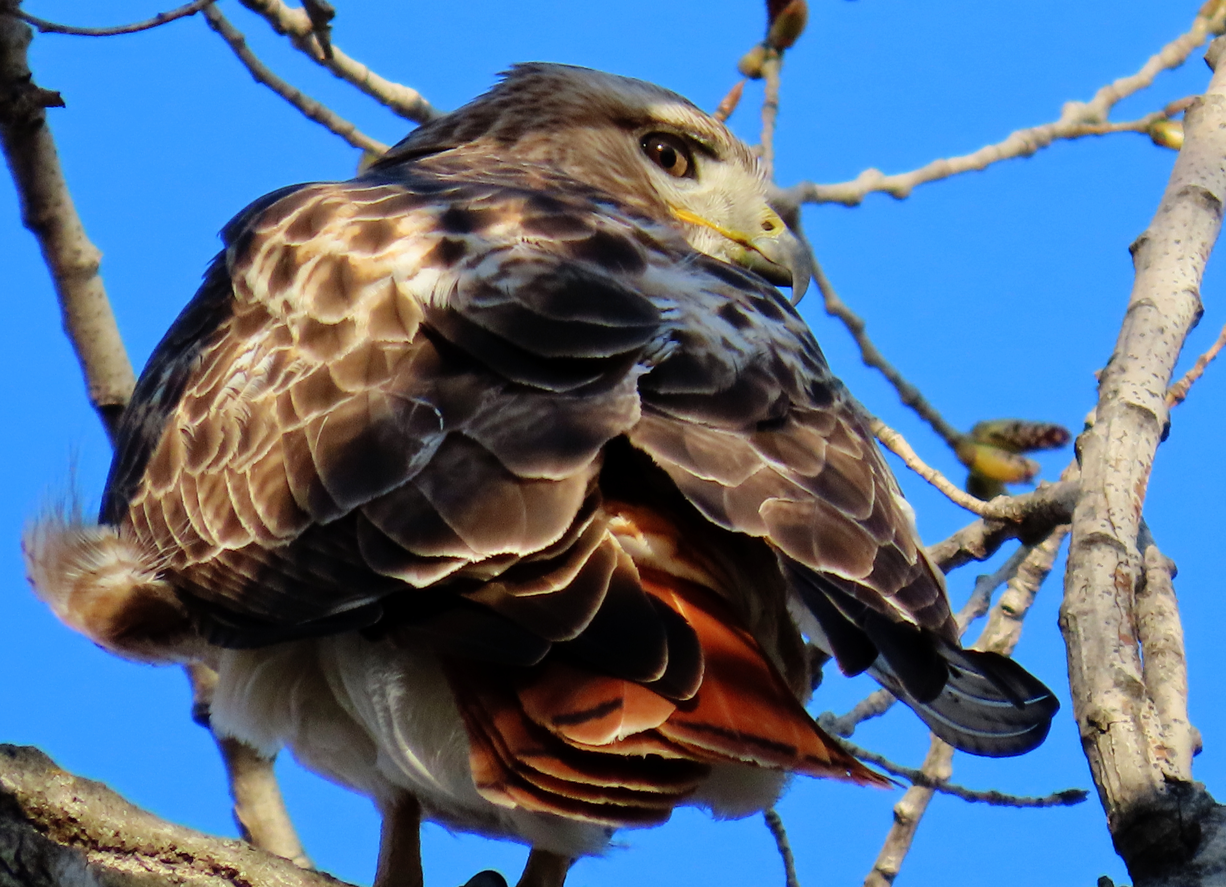
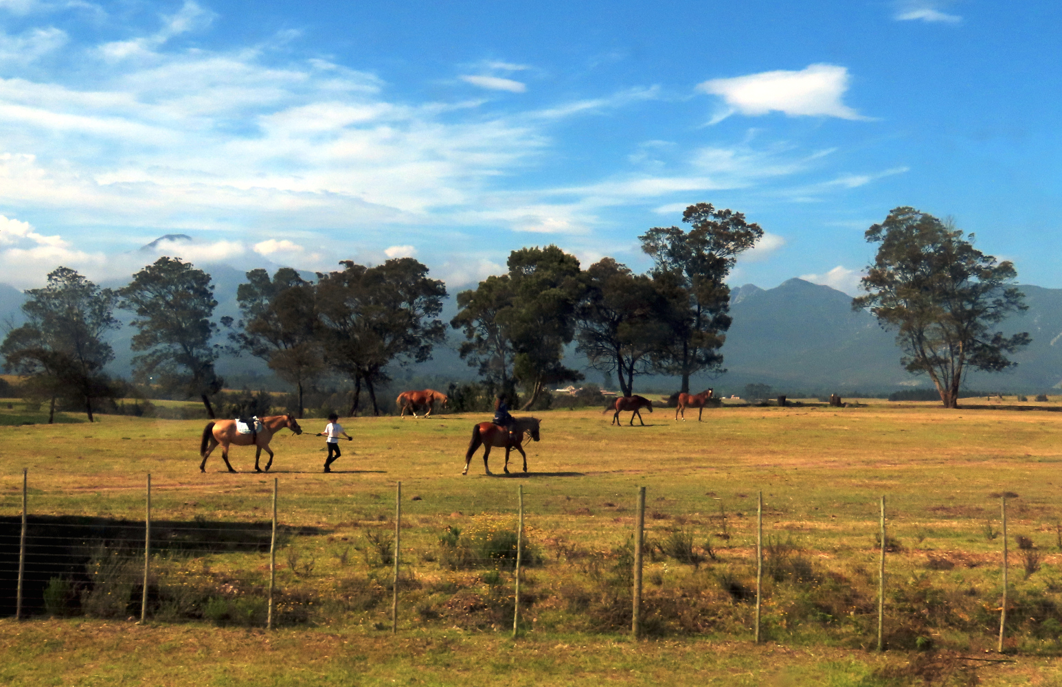
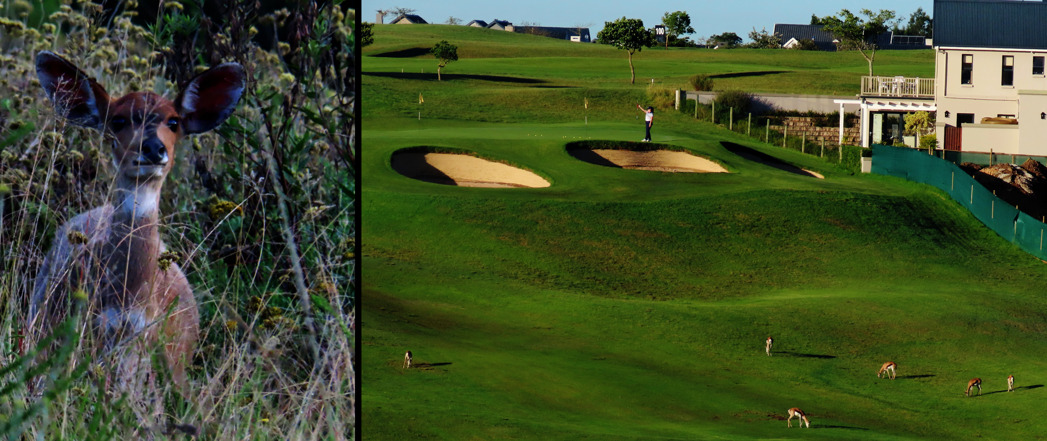
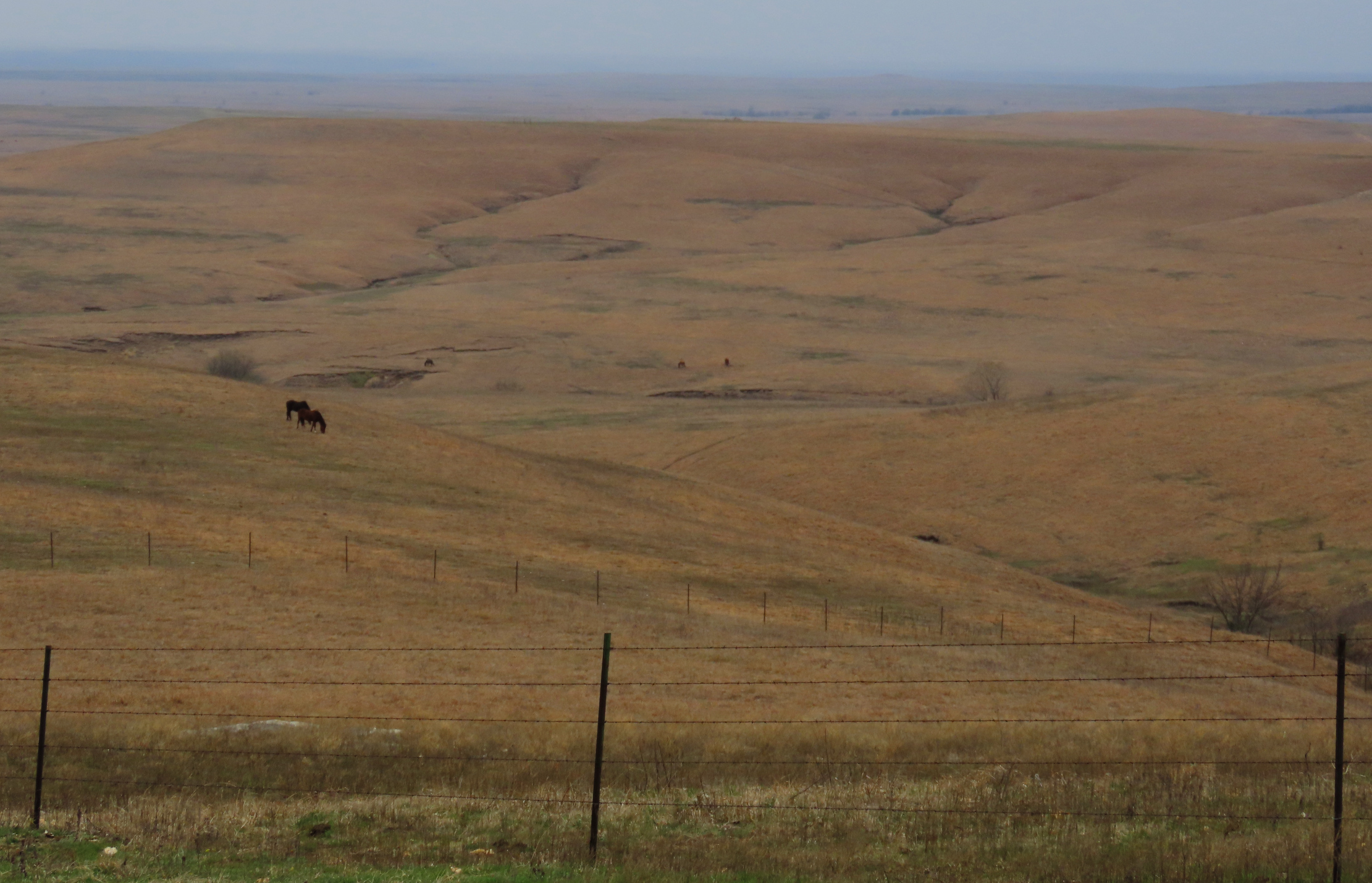
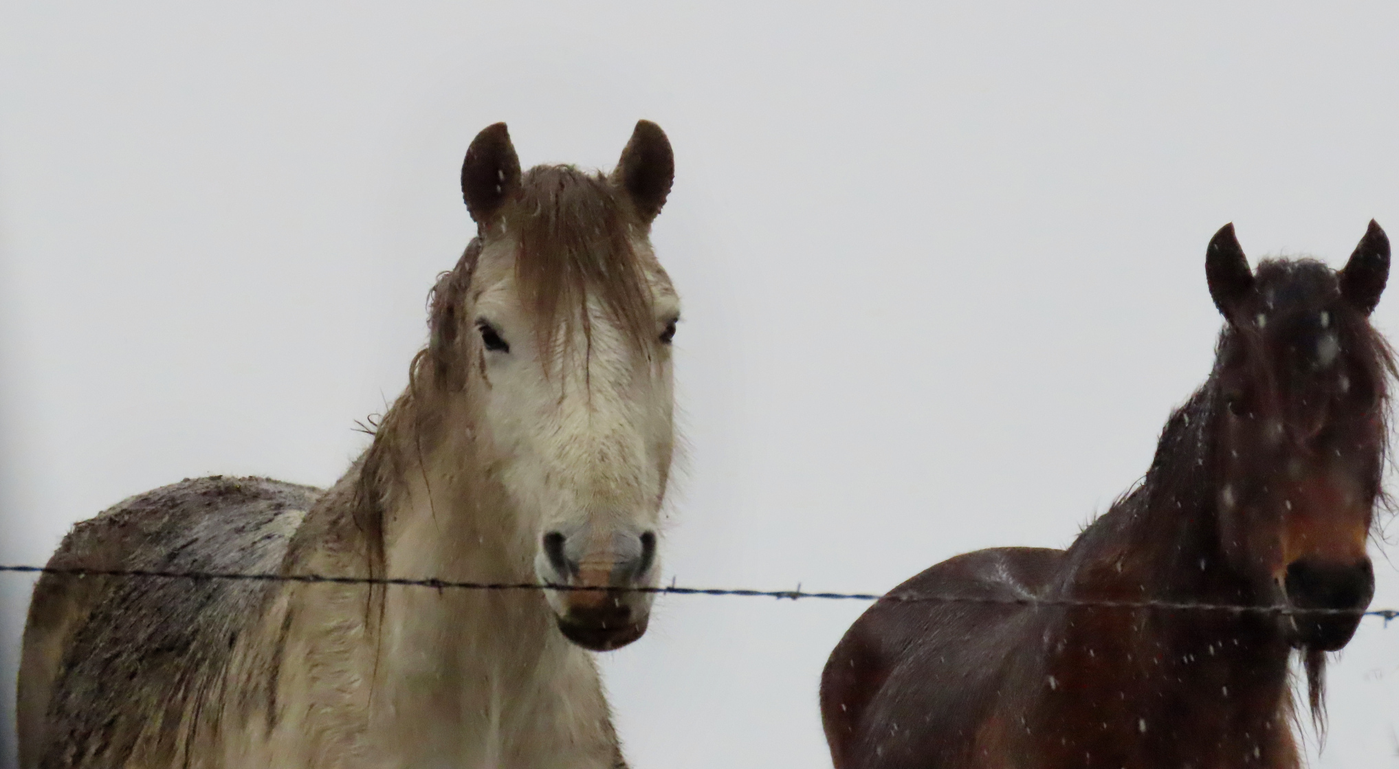
WILD HORSES
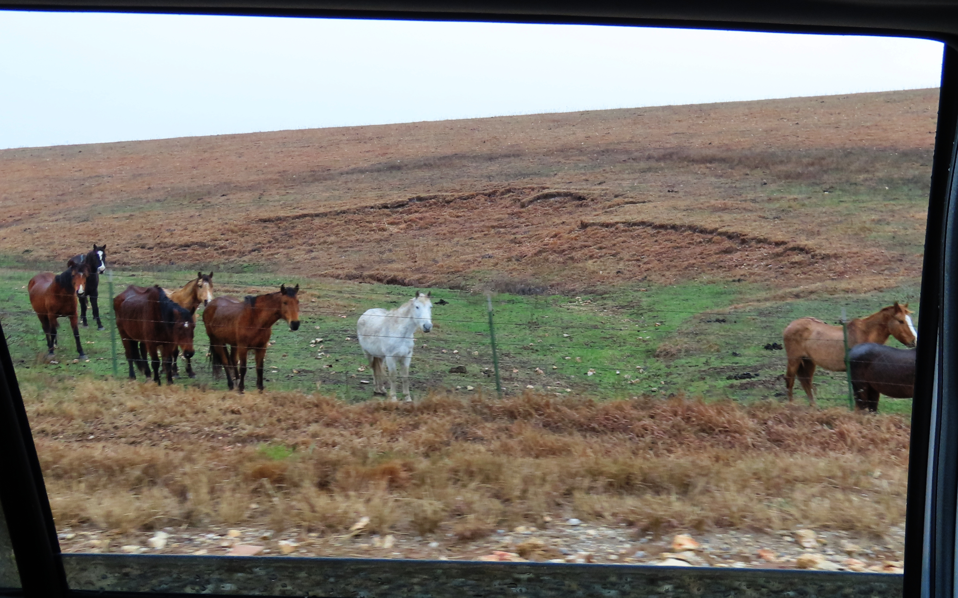
I was surprised with how many they were. And also that they did not seem particularly wild. They came readily to the fence line as we drove past, as if they were curious. In fact Steve Vestring, a local rancher, said, “We’ve had mustangs here for almost 10 years. After you’ve had them awhile, they gentle down. They’ll come up to us just out of curiosity.” More on this account can be found here:
https://www.travelks.com/kansas-magazine/articles/post/the-wild-mustangs-of-the-flint-hills/
MATFIELD GREEN & BAZAAR


“closed down the p.o., took away the stamps, canceled the zip code, and said by its action that Bazaar was no longer a town” !
And many of the no-longer-townfolk agreed, seeing that the school (above) no longer operated. Yet Blanche refused to let the town die. She used the Methodist church building as her rallying point, ringing the bell, seeing to it that sermons were still given and, if a circuit preacher was not available – as was often the case – she offered her devotions.

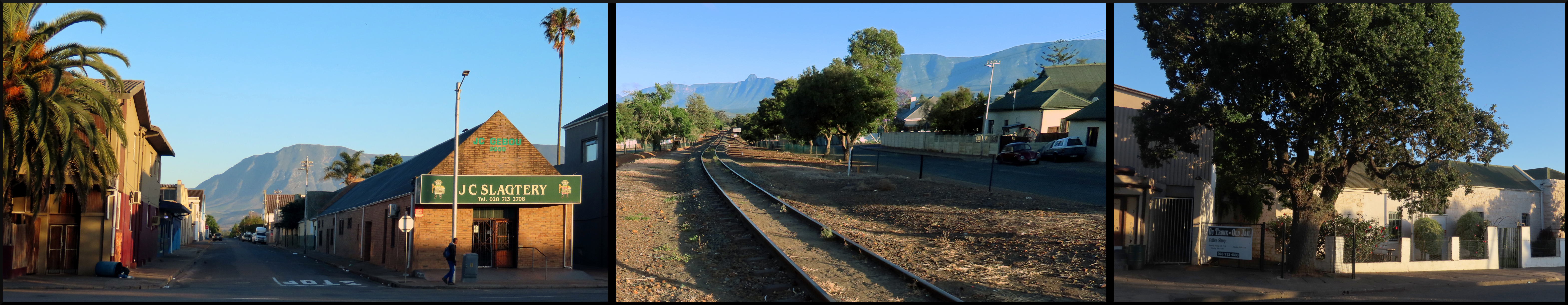
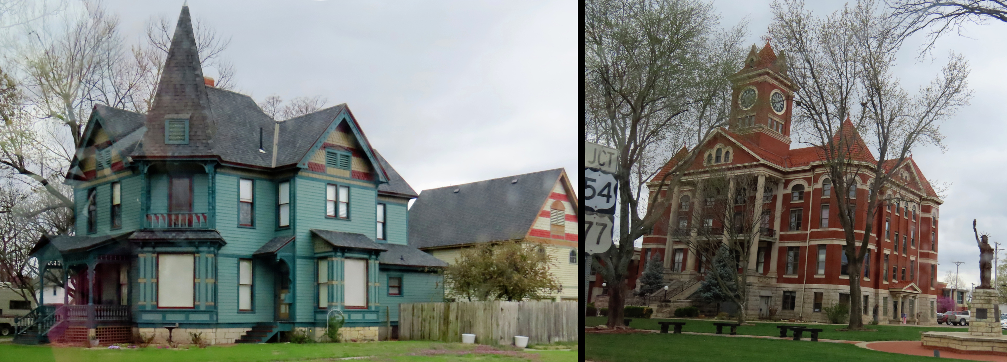
COTTONWOOD FALLS

“When Carrie Chandler lived down here, she jumped when she had a chance to move to Cottonwood, and someone asked, “But you’ll be buried in Bazaar, won’t you?” and she said, “I’ve been buried here long enough.”
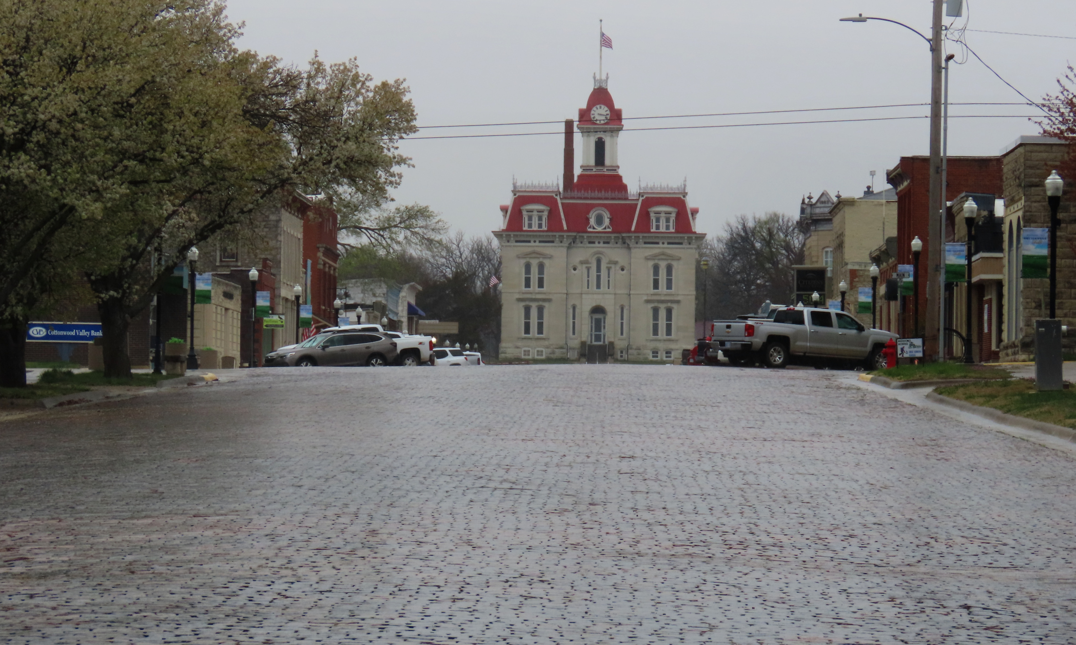
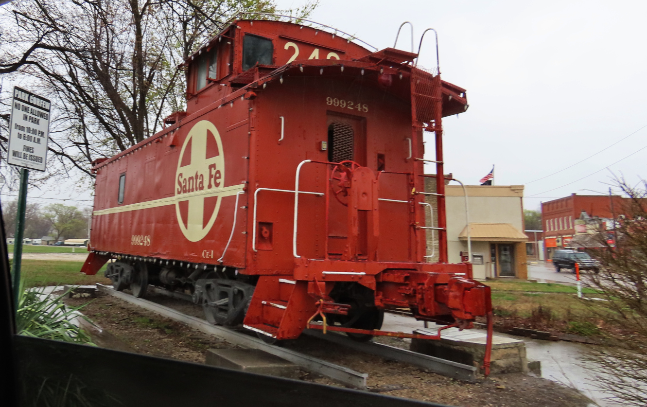
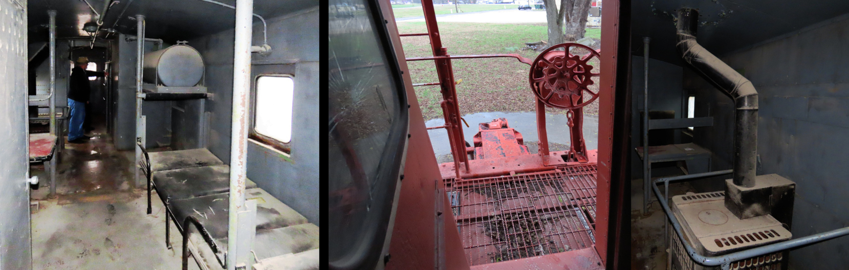
STRONG CITY
“Originally known as Cottonwood Station, in 1881 it was renamed Strong City after William Barstow Strong, then vice-president and general manager, and later president of the Atchison, Topeka and Santa Fe Railway.” – Wikipedia
In case you were wondering, yes, Barstow, California (formerly Fishpond, California) was also named after him. An improvement, don’t you think?

The railroad killed the cattle trails. And the trucking business later took a big bite out of the railroad business.
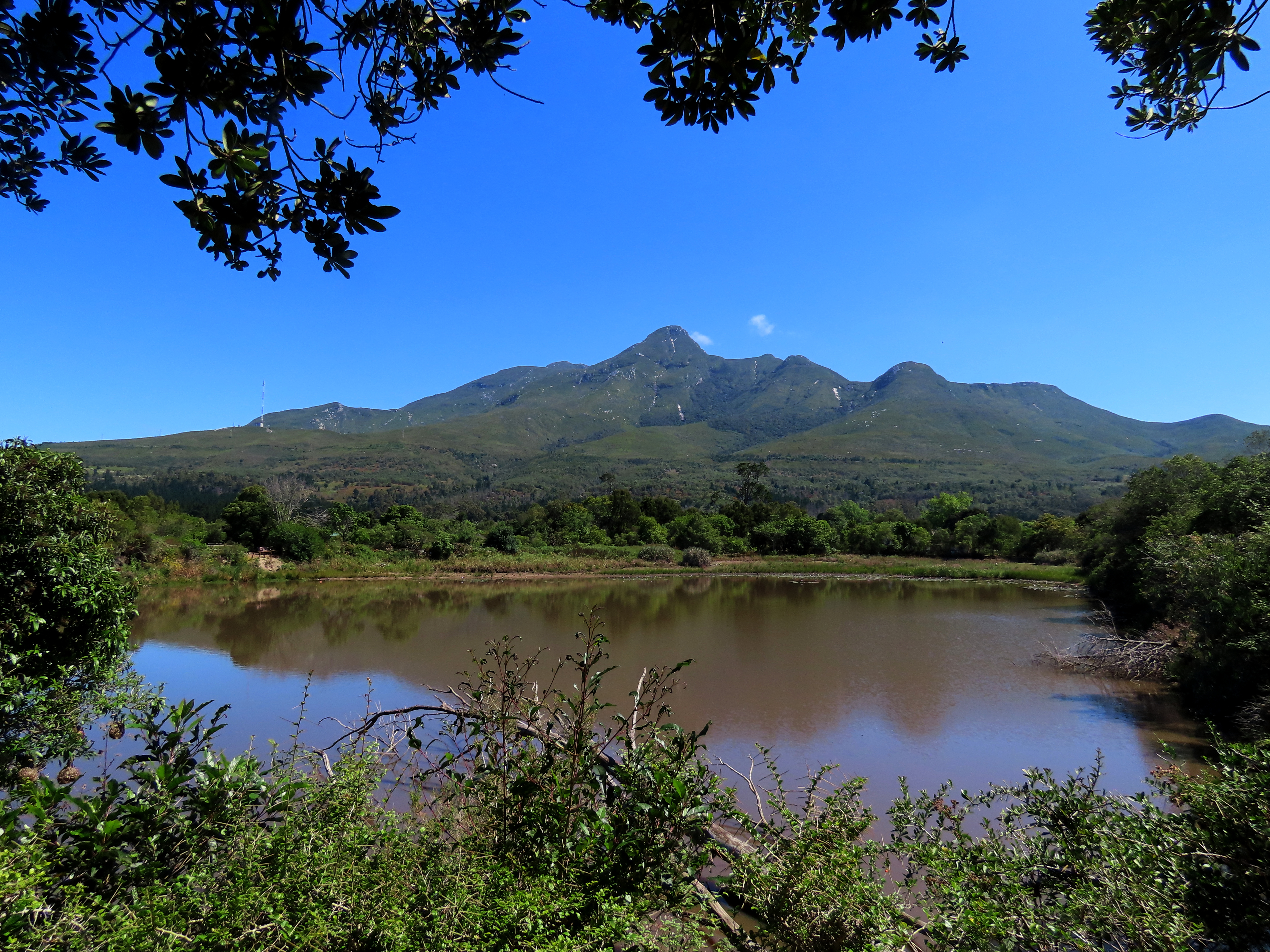
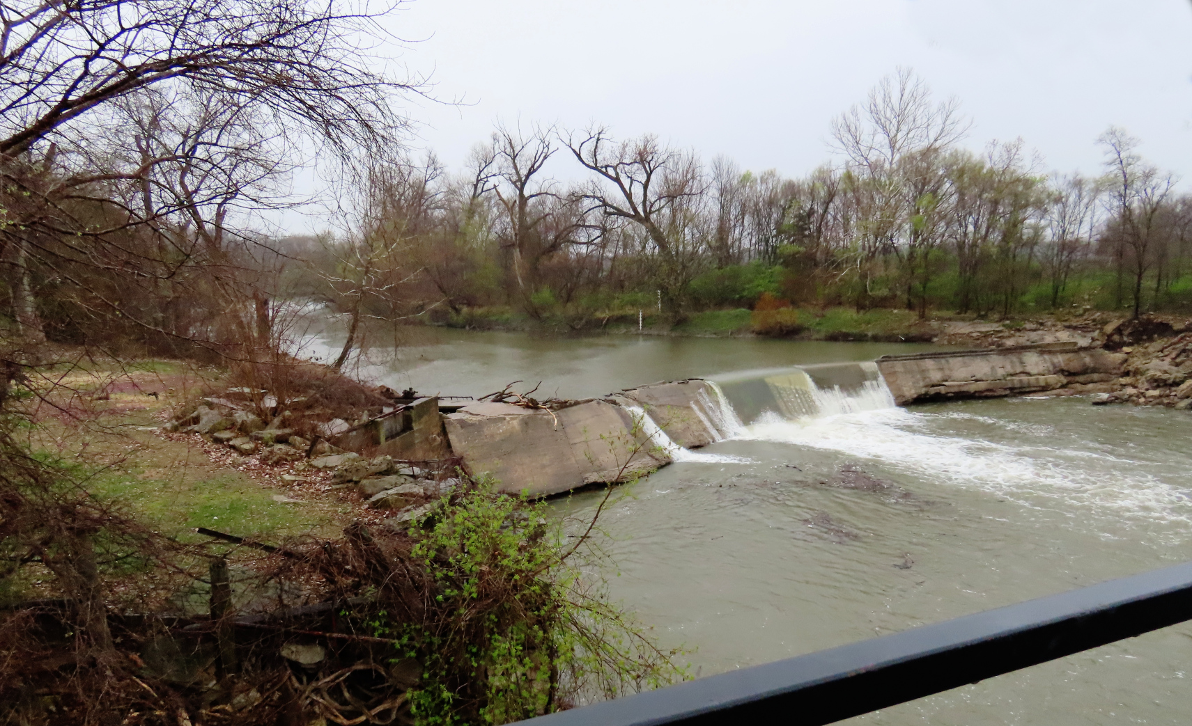
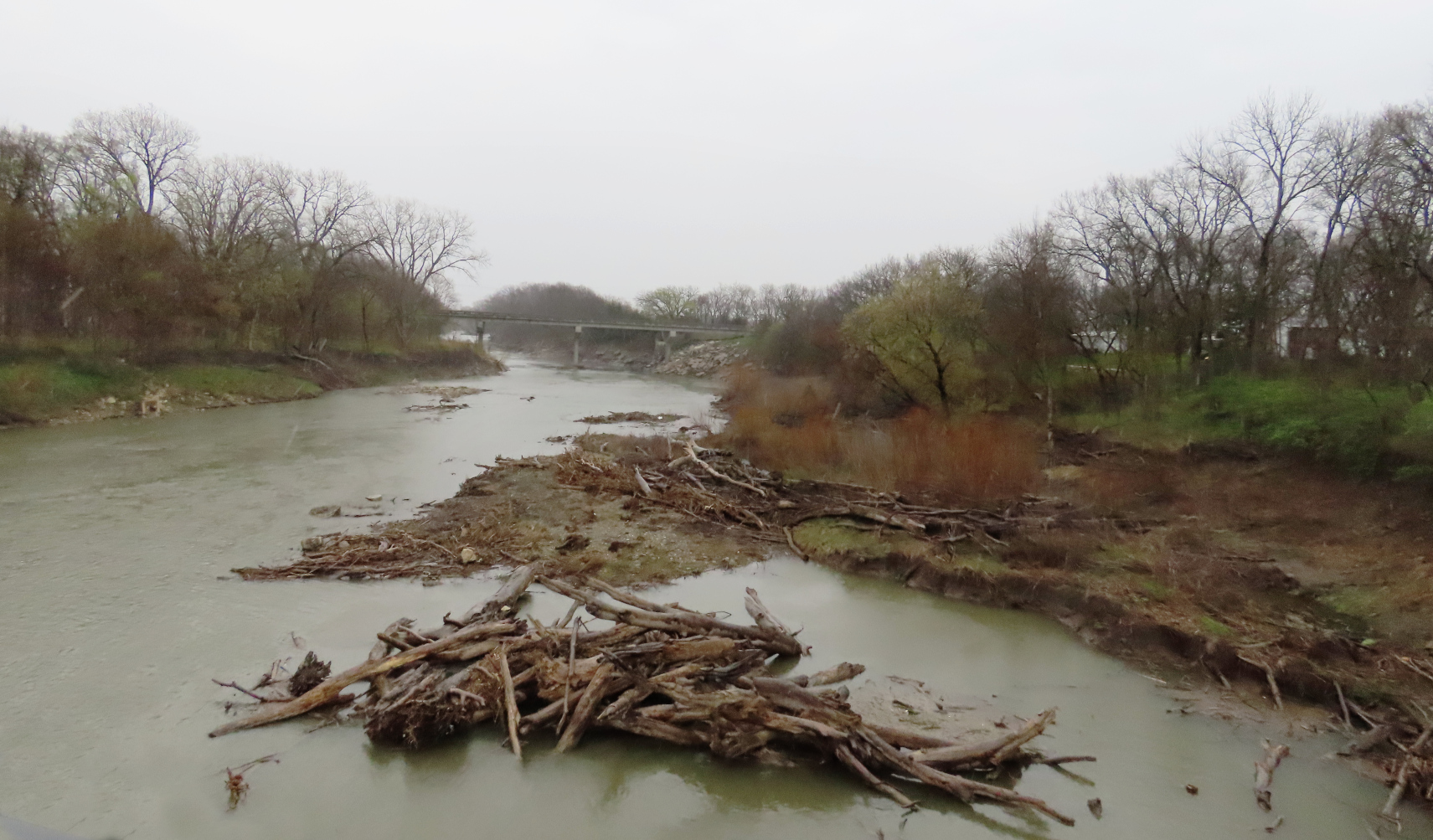
A little west of Strong City and running down from the north is Fox Creek. There is a well-known hiking area that meanders at times along this creek. Some of the terrain, once overgrown with brush and cottonwoods, is now private property, but a good part of it is in a nature preserve. Another area that, if I am ever up here again, deserves a good long nature hike.
I am sure it was a bit different 150 years ago, considering the following account. In the 1870’s, Zilphia, a single woman was living alone in a small cabin here near well-wooded Fox Creek when she was startled by a scratching outside her door. Timidly creeping over and peeping out, she saw the well-known – and wanted! – warrior, White Eyes. He asked to borrow a knife and she, afraid to say ‘No’, gave him the biggest knife she had. He noticed it was dull, but took it anyway. Weeks later, she again hears a noise by the door, a loud thump. There slumped against the door and, as Moon related in his book, “there lay a freshly killed deer, and thrust in it was her sharpened butcher knife.“
CATTLE TRAILS & RUSTING RAILS
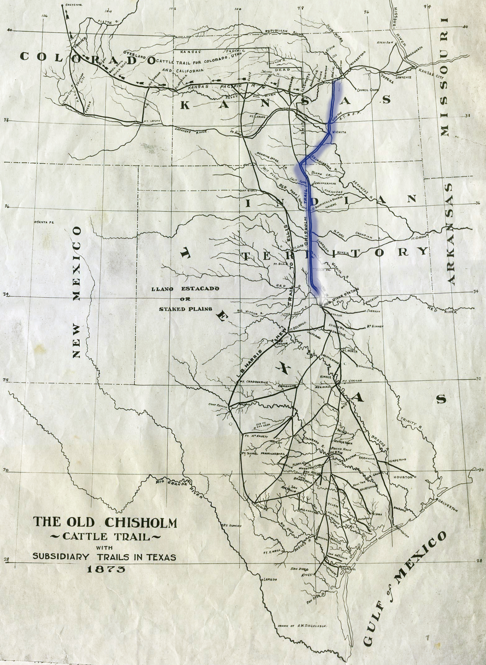
But all good things come to an end. The cattle trails were eventually made a thing of the past by two events, both were metal. The first was the earlier-mentioned railroads. As the lines continued being built west and southward the distance required for the drives necessarily lessened. Each new south-reaching rail line progressively shortened the cattle trails. The northern terminus of the Chisholm Trail went from Abilene to Bazaar (causing a temporary boom in economy) to Newton, Kansas, and then all the way down to Wichita.
The other thing was the impactive invention in 1874 by Joseph Glidden (1813–1906) of barbed wire, twined and twisted spiked wires that protected land owners’ increasingly large property from being trammeled by livestock and drovers coming up from Texas. In twenty year’s time they put an end to the open range era. These two events, both of them metal strands, put an end to the cattle drives and, with that, shortened the “cowboy” years of TV westerns to only about twenty–five years.
And then the railroads themselves lost their preeminence, as the trucking industry proved a more economical means of transport.
The towns here are small in size now, but rich in history.