This is the final installment in this series. Most of these photos can be selected for a better view. The ones that are grouped in twos or threes, especially, can be selected for a much more detailed view. I took great care in selecting and improving these photos from our trip this area in the Fall of 2020, I hope you enjoy them.

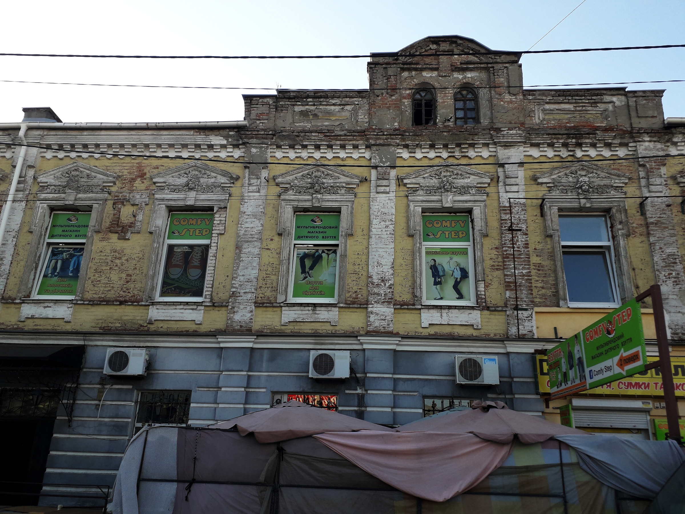
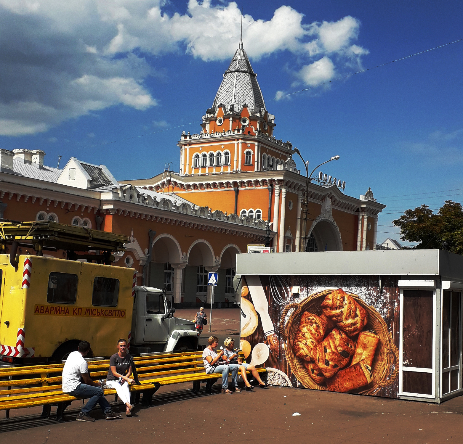
ZAPORIZHIA

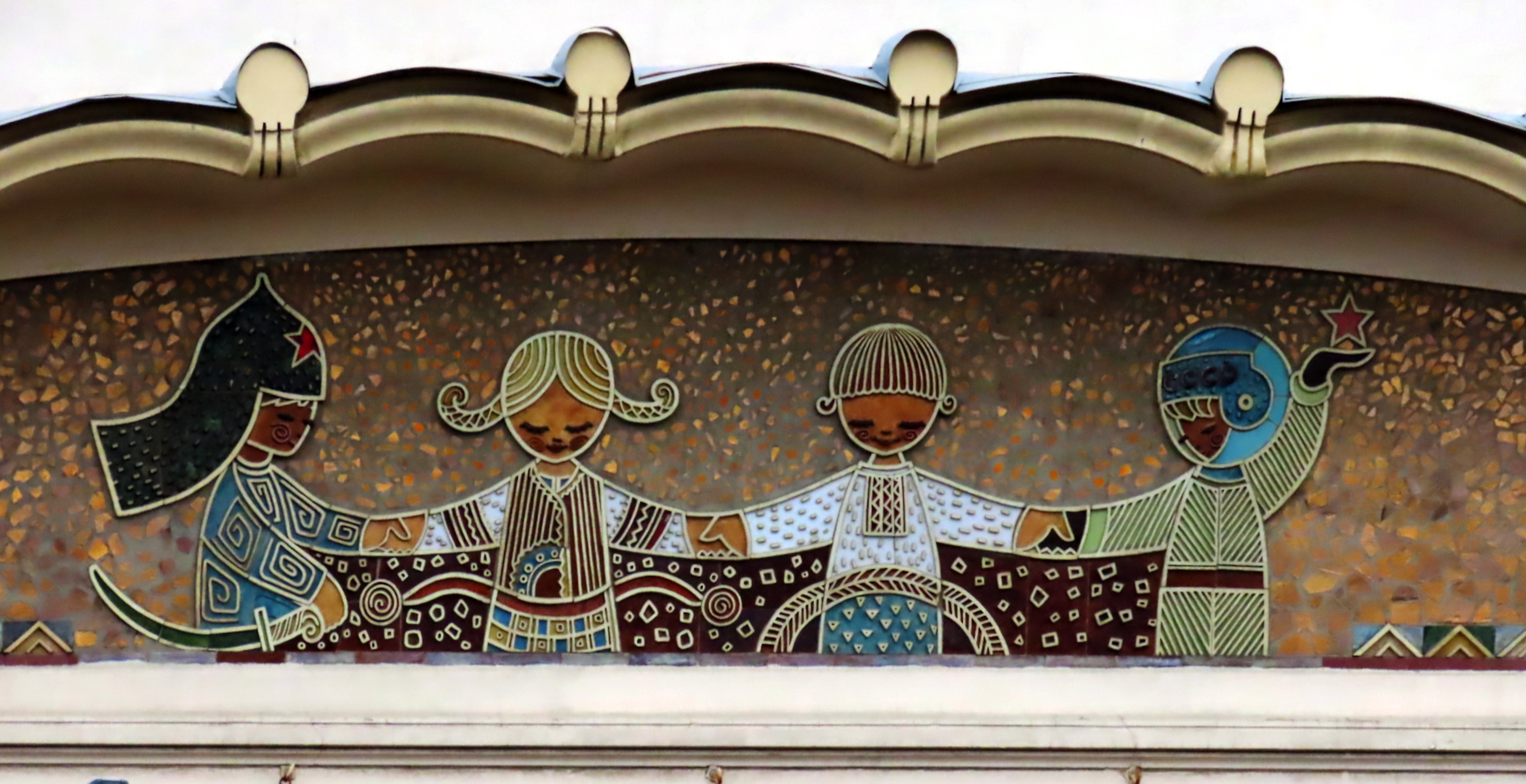
Zaporizhia on the wide Dnieper River has a long and illustrious history. Scythians lived all around here perhaps as far back as 1000 BC. Also Turkic Khazars, Kumans, Tatars, Cossacks, and Slavs made this area their home.

Being a navigable river, it was well-known to Greek traders. The Greek geographer Herodotus wrote about the Dnieper:
“As far inland as the place named Gerrhos, which is distant forty days’ voyage from the sea, its course is known, and its direction is from north to south; but above this, no one has traced it, so as to say through what countries it flows. It enters the territory of the Scythian Husbandmen after running for some time through a desert region… It is the only river besides the Nile the sources of which are unknown…” The Histories, Book IV.53
The first written record of Zaporizhia was in 1492, the same year that Columbus sailed the ocean blue!
The whole area on both sides of the Dnieper was known as the “Wild Fields“, the largely untamed region that the surrounding powers (Polish-Lithuanian Commonwealth, Grand Duchy of Moscow, and the Ottoman Empire) were either unable or unwilling to claim. But finally in 1789 Catherine the Great of Russia invited Mennonites to settle in this area. They came over en masse from Prussian Danzig. The island of Khortitza, erstwhile stronghold of the Cossacks, was given over to these Mennonites for a “perpetual possession”.
But perpetuity was not to be had. In 1914 the Mennonites sold the island to the city and the majority eventually left. The Russian Revolution and World War 2, especially, meant hard times for them. Many of those who did not see the writing on the wall and emigrate to the New World were forced to relocate to central Russia and Siberia.


Matching the “Wild Fields” there was also the “Wild River”. Because of the Dnipro Rapids, navigation was always a tricky proposal. The most dangerous of these rapids, fatal for many, was the Nenasytets, (“Roaring Rapids”). Pilots, when they approached the fearsome site, changed into a clean shirt and read the Lord’s Prayer. If you are going to die and ““knock on Uncle Peter’s door”, it was said, it is best to do so prayed up and in a clean shirt.
Despite the dangers the ships kept coming, seeing that this was an important route that led all the way up to the Varangians (who had migrated south from Jutland and southern Sweden). Testimony to the failures and successes of traders on this route are burial mounds as well as forts and sanctuaries.

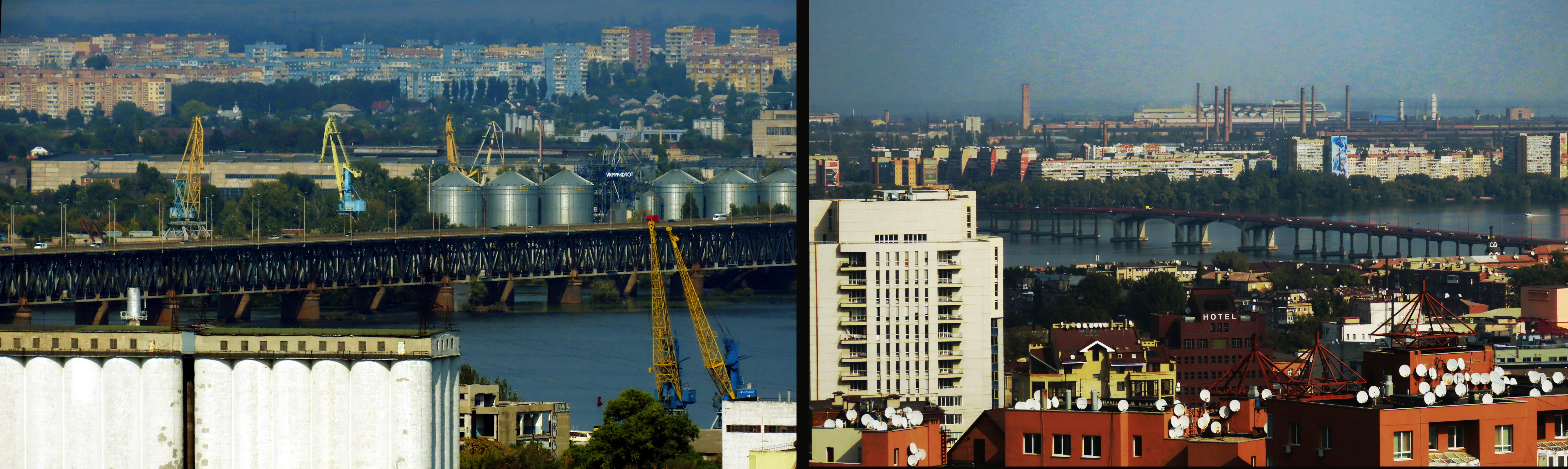
With the building of the Zaporizhia dam in 1932 the danger of rapids were mostly a thing of the past. So were many villages. The water level rising 40 meters, dozens of villages on both side were flooded. But with the dam the cities of Zaporizhia, Dnipro, and Kiev now had port access to the Black Sea.
But the Soviets added another chapter to this dam story. In 1941, in WW2, they blew a large breach in the dam, flooding the area all the way down to Nikopol. This killed thousands of civilians, as well as soldiers on both sides. The death toll was between 20,000 and 100,000. Later in the war the Germans used forced labor to repair the dam.


A good city guide is linked below. I usually do not pass on these types of links because they are usually poor quality. This one seems well-designed and quite useful. Pegasus Airlines, a Turkish company. Unfortunately, they do not cover the other three cities in this article.
https://www.flypgs.com/en/city-guide/zaporizhia-travel-guide.
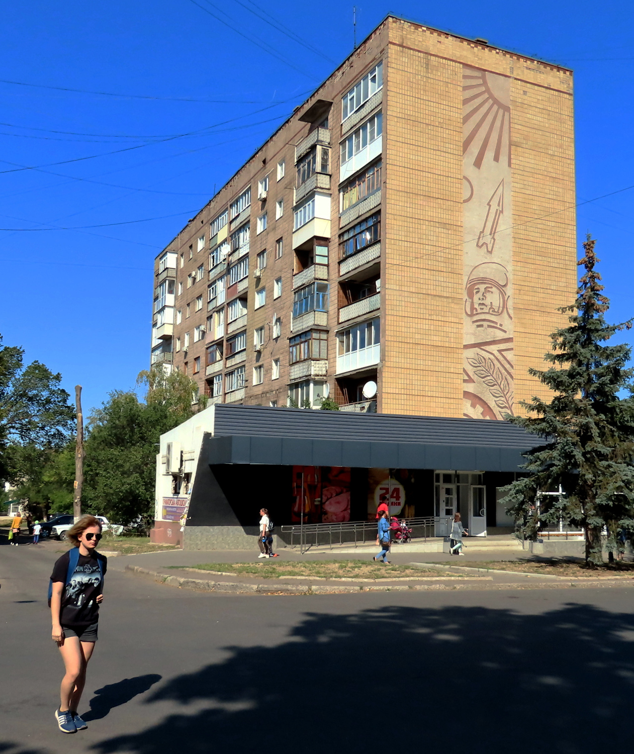
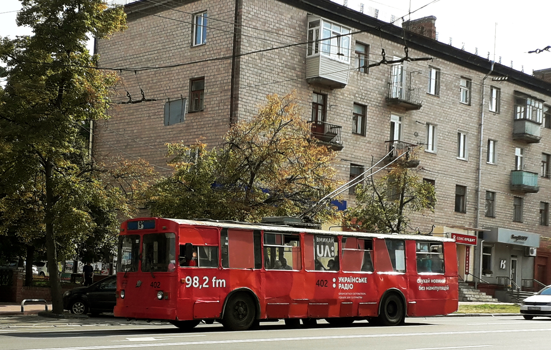
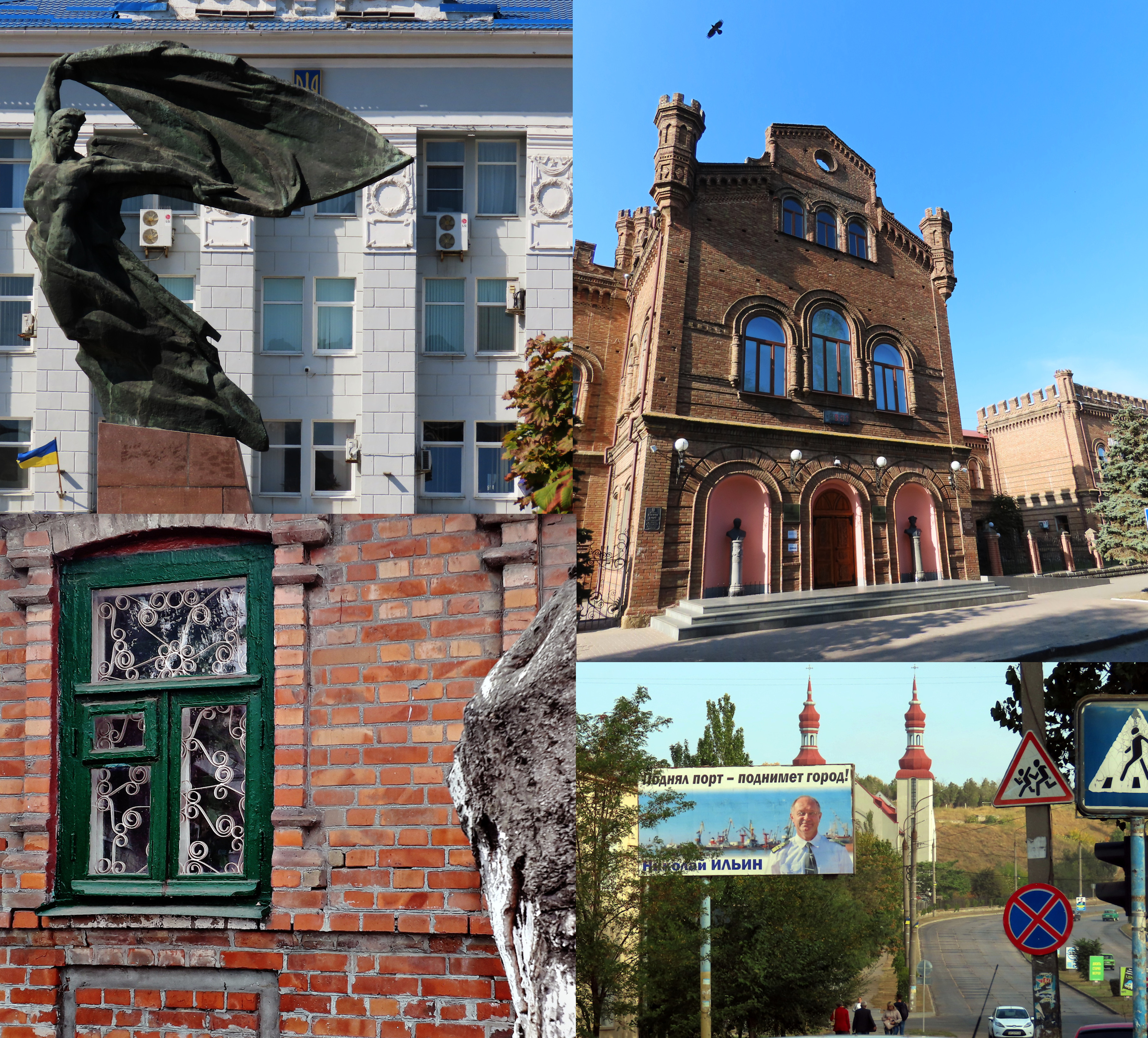
DNIPRO
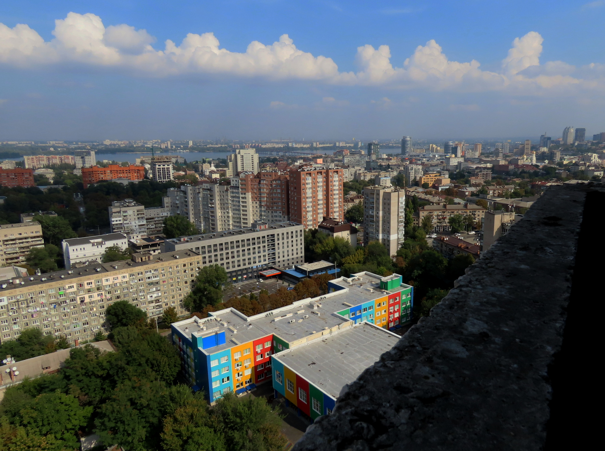

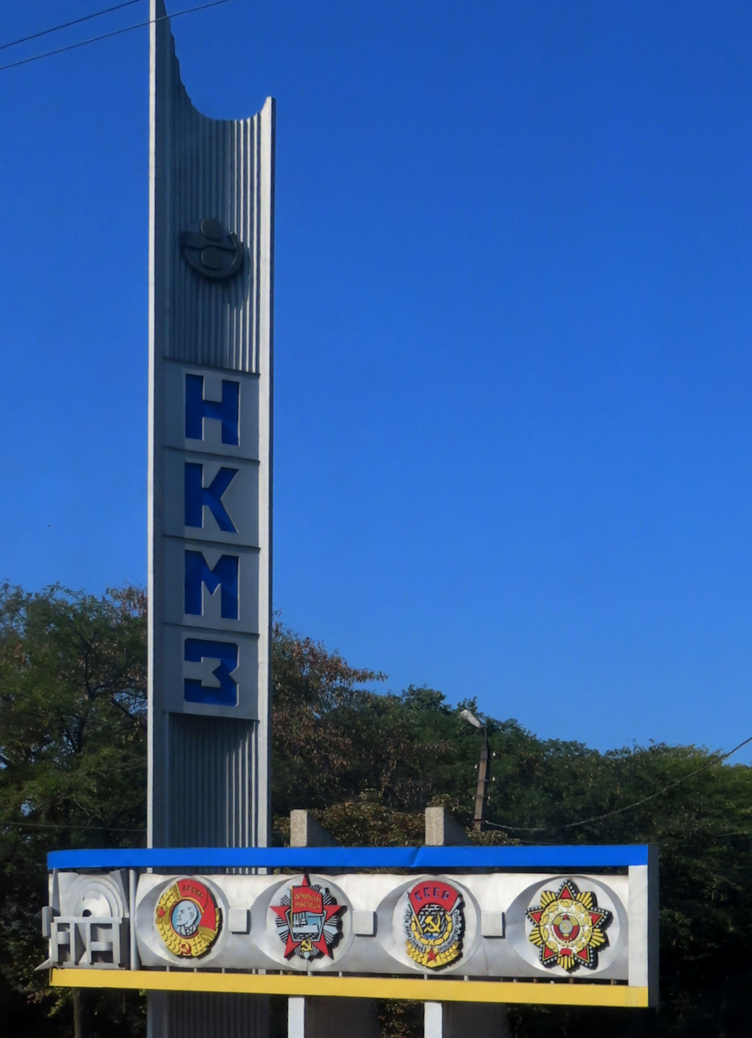
The production of these rockets had to be a secret, both to the outside world and to other citizens of the Soviet Union. The company that made these also made heaters, electric juicers, and a host of other household appliances, as well as nuts and bolts, etc. Everything from toasters to tractors. And that is what the company, Yuzhmash, was officially known for, and what they advertised – nothing related to military or space tech. Many of the workers themselves and their families, naturally, did know about that second line of product. This (if we add the families) would be over half of the city!
So, in order to keep their clandestine product under wraps, in 1959 they made the entire city a closed city. No one from a foreign country, even communist countries, were allowed into the city. But the citizens themselves began referring to their city as the “Rocket City“.


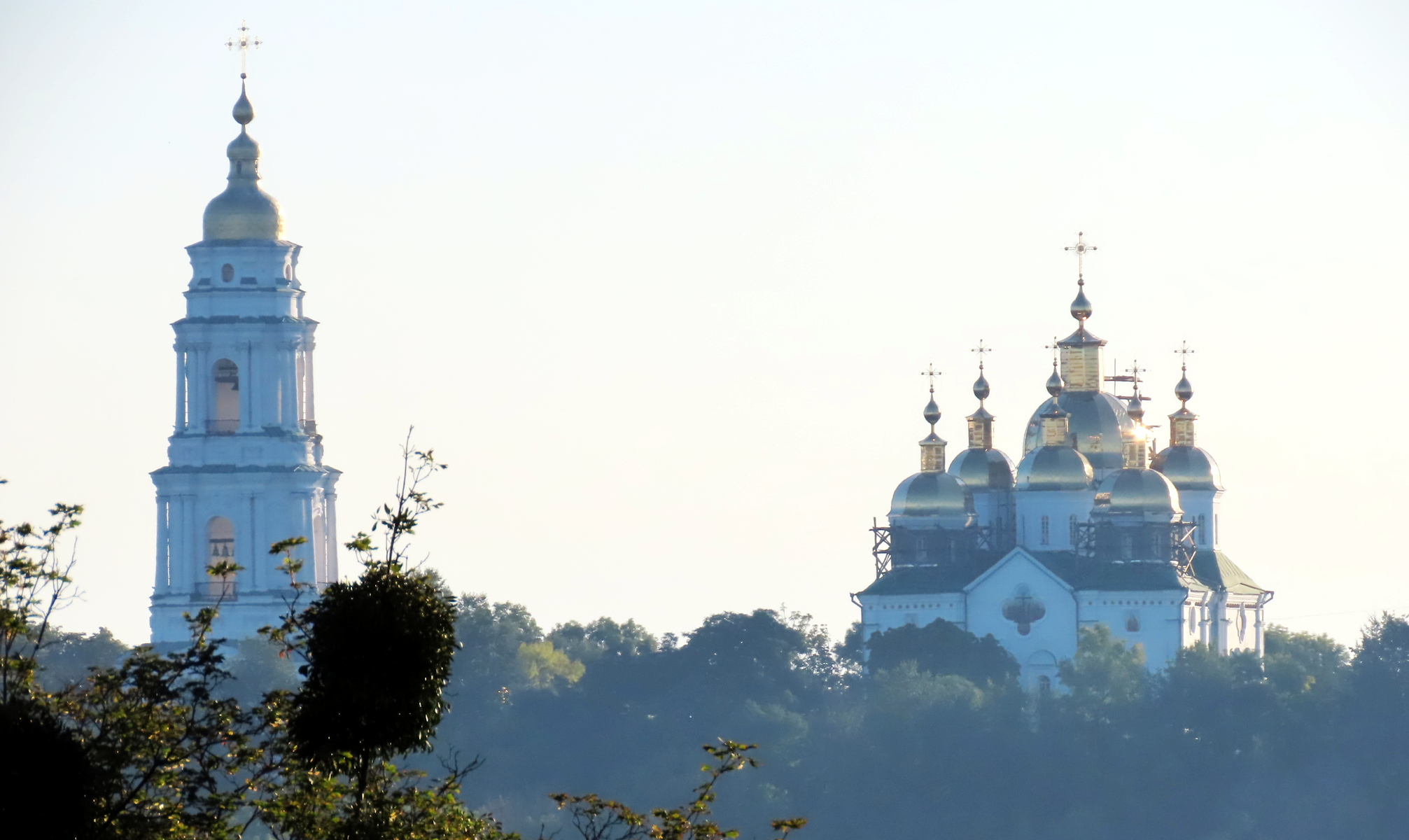
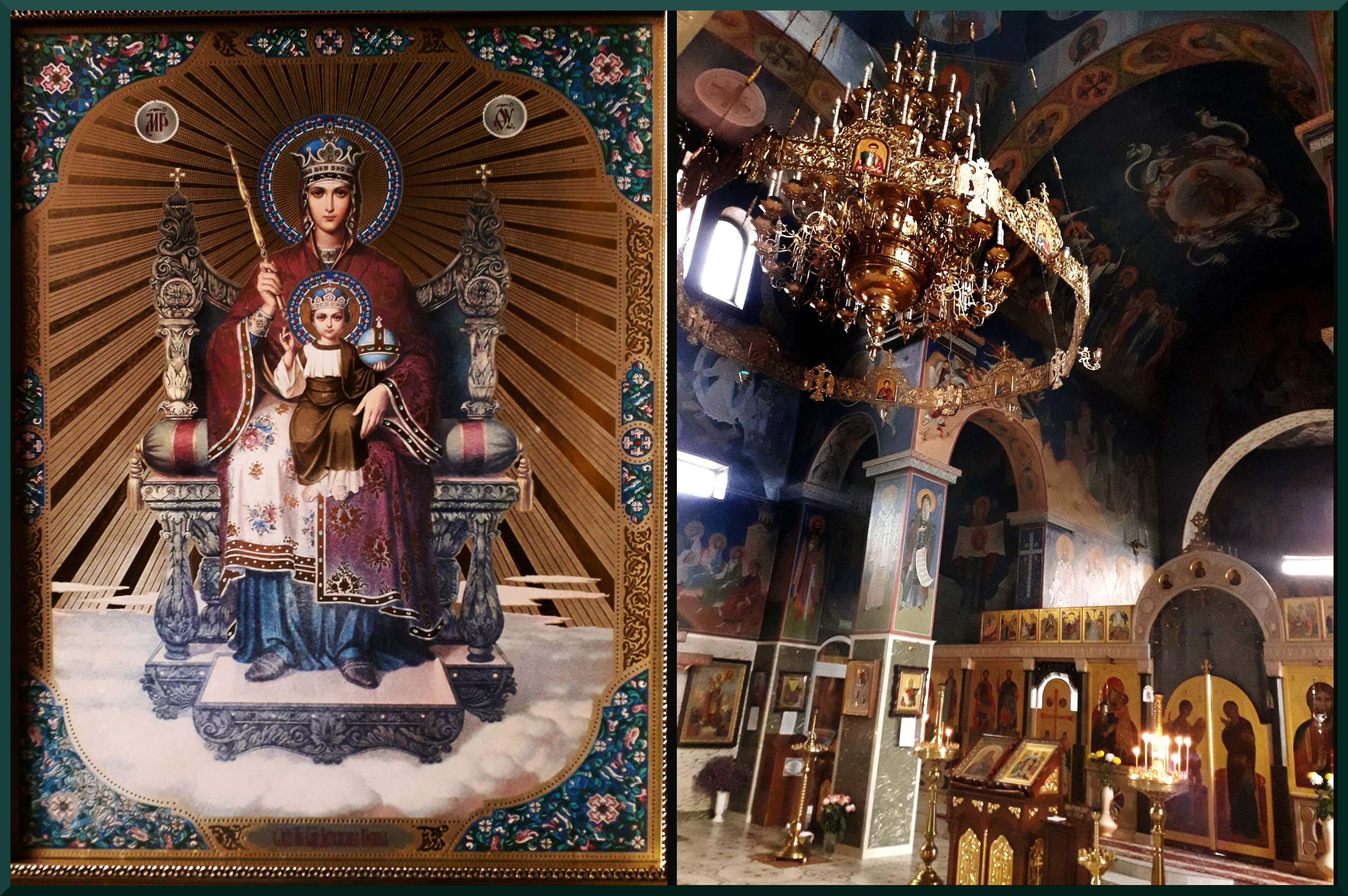
Prince Grigory Potemkin had great plans for this church but the Russo-Turkish War (actually, the sixth of such wars in a series of ten, 1568 to 1878!) caused a delay of many years. Finally in 1835 the church was built, but on a much smaller scale. Further diminution of Potemkins grand vision for this church came when the Soviets closed it in 1930. And from 1975 to 1988 it became a “museum of atheism” (Wiki). Because as a response to that insult, an earthquake that last year put an end to that use of the building.
“What are you doing here?”
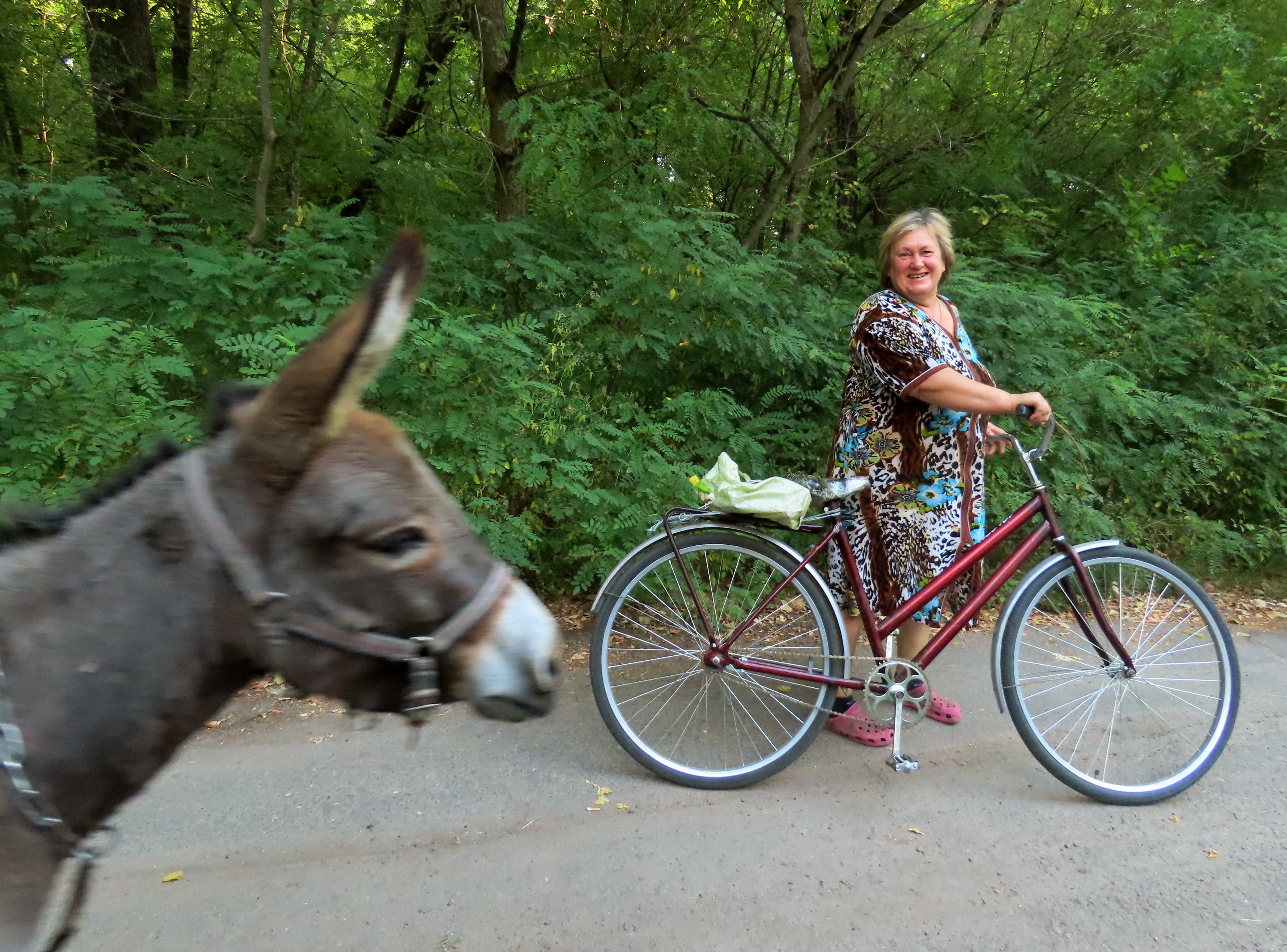
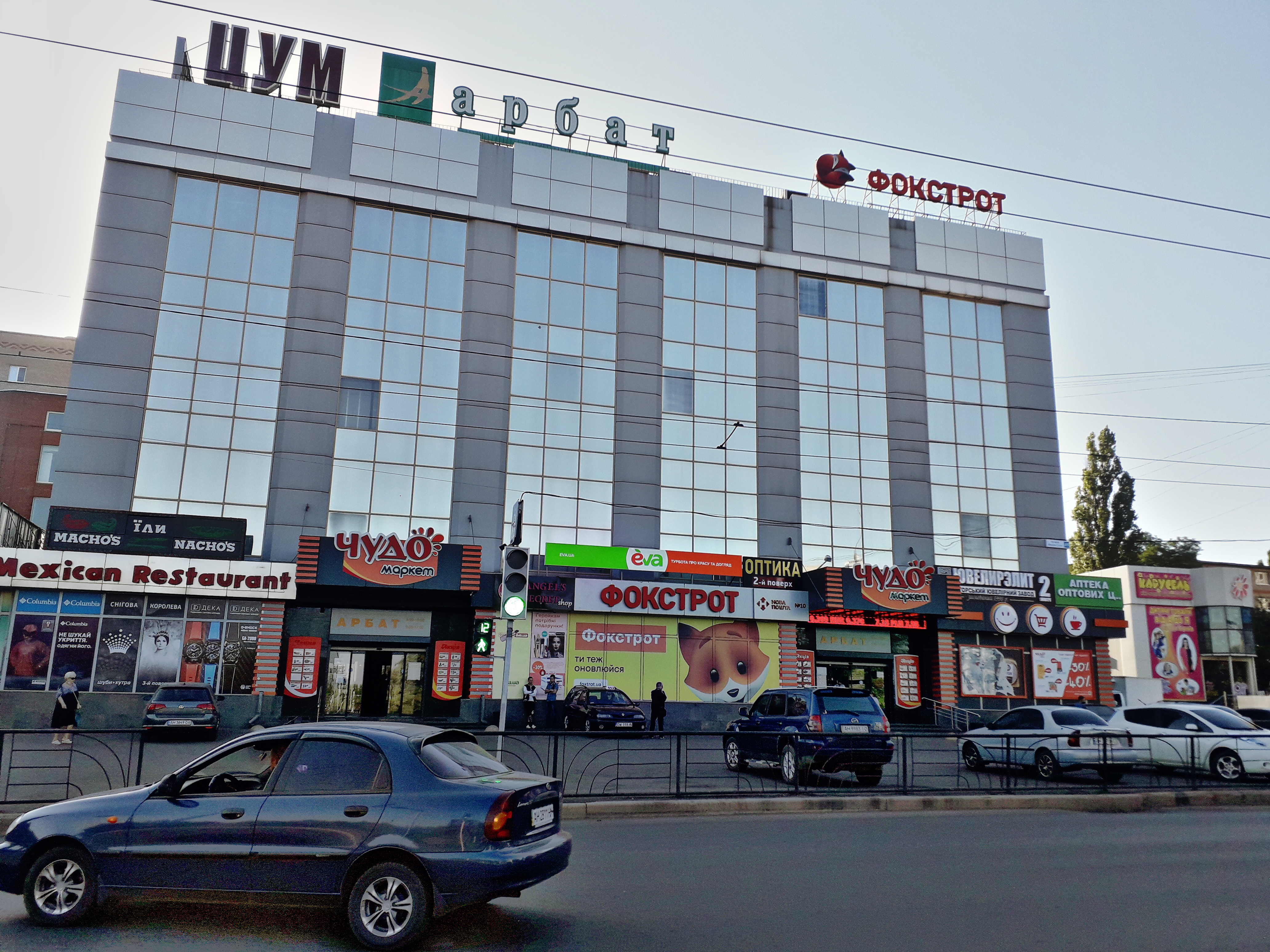
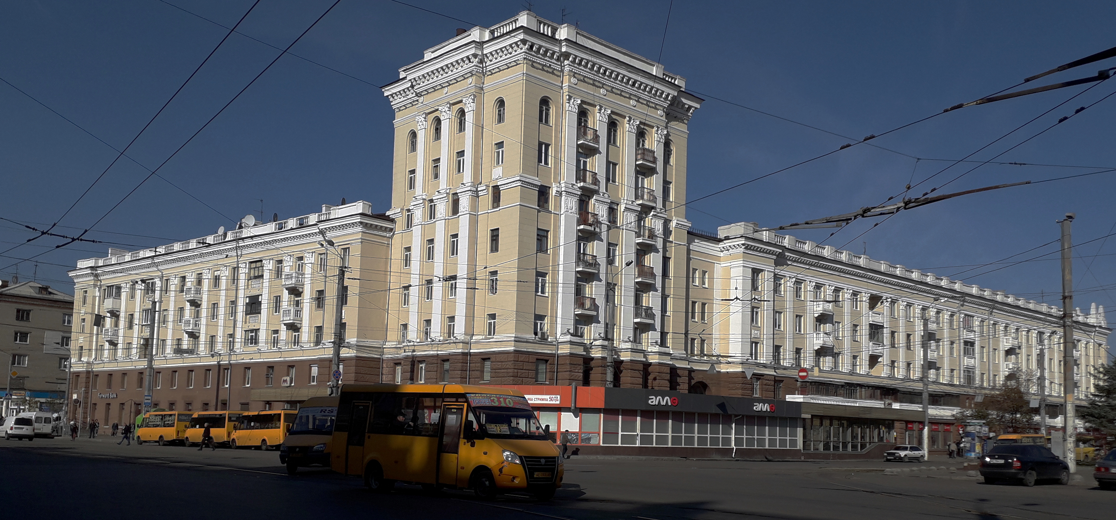
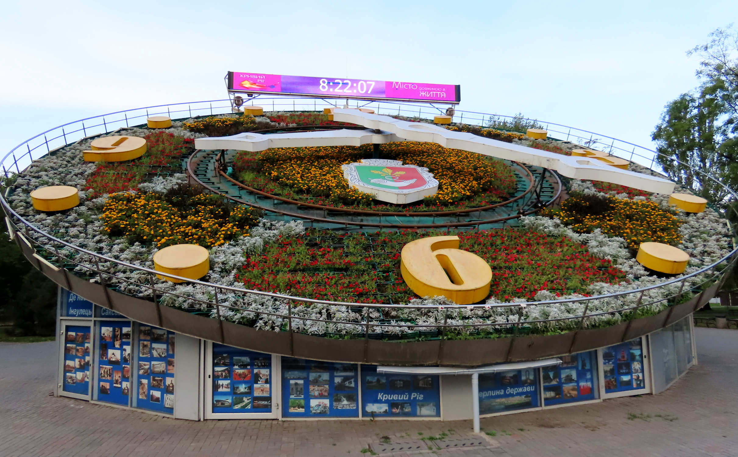
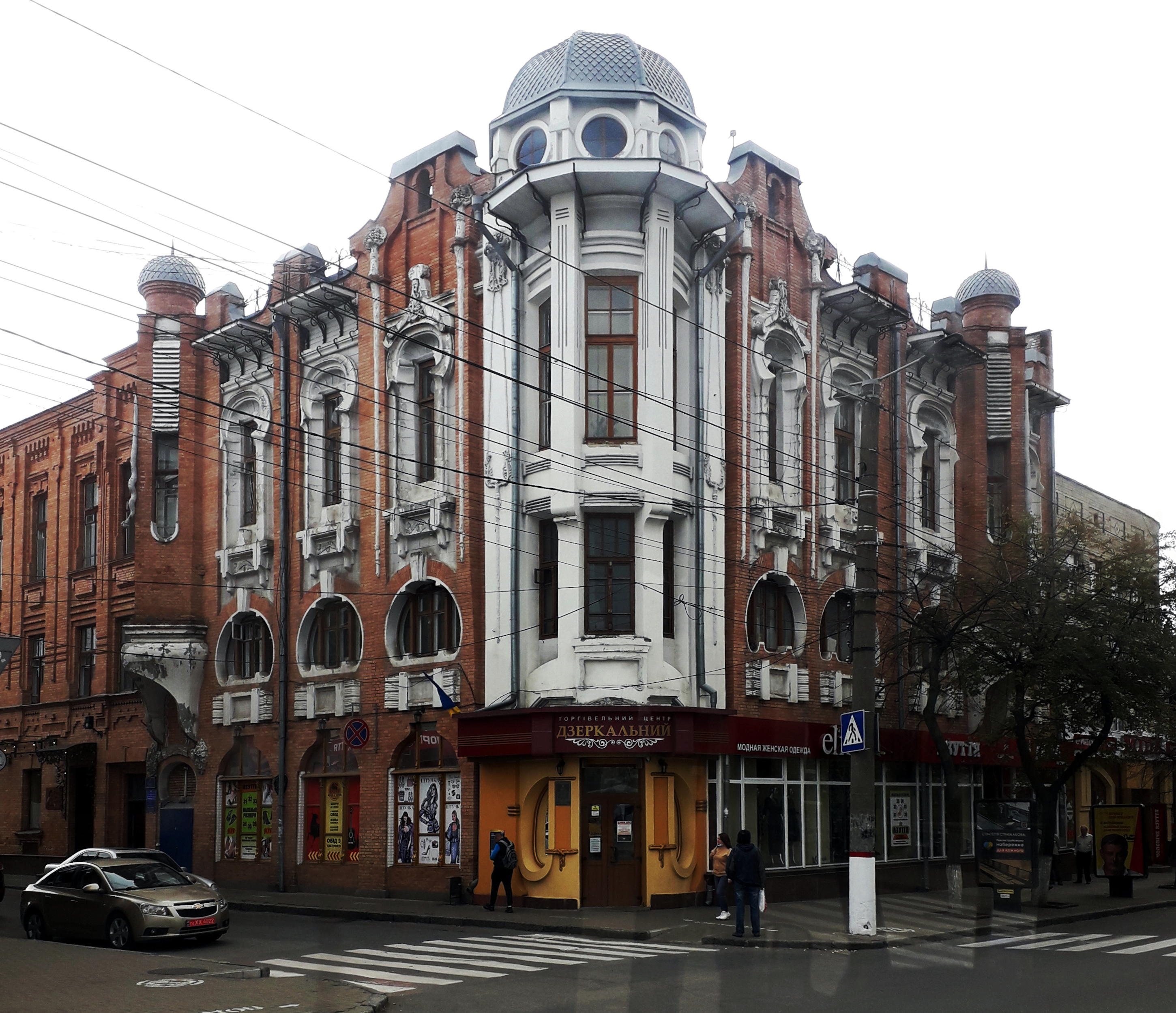
This was the question put to us by a young couple whose apartment we rented in Kryvyi Rih, a city as hard to pronounce as it is to spell.. Part of it was just a finger-on-the-map whim. Also it was on the way back to Kiev, where we were due soon to fly out. It seemed like a normal Ukrainian mid-sized city, not touristy at all. And that is usually a plus for us.
But for them it was odd, the equivalent of a foreigner from, say, China wanting to see Cleveland or Wheeling, West Virginia.

Stalin’s rapid and brutal industrialisation of the city in 1931, coupled with the collectivisation in the country kick-started the growth of the city.
It was rapid: In 1941The city had grown exponentially, a tenfold increase in population, over 200,000.
It was brutal: Collectivisation of private holdings from generations past, stealing their harvest, and the resultant famine. Millions starved in the whole USSR in the 30s. But by 1941, at over 200,000, the population of Kryvyi Rih had increased almost tenfold to 200,000.


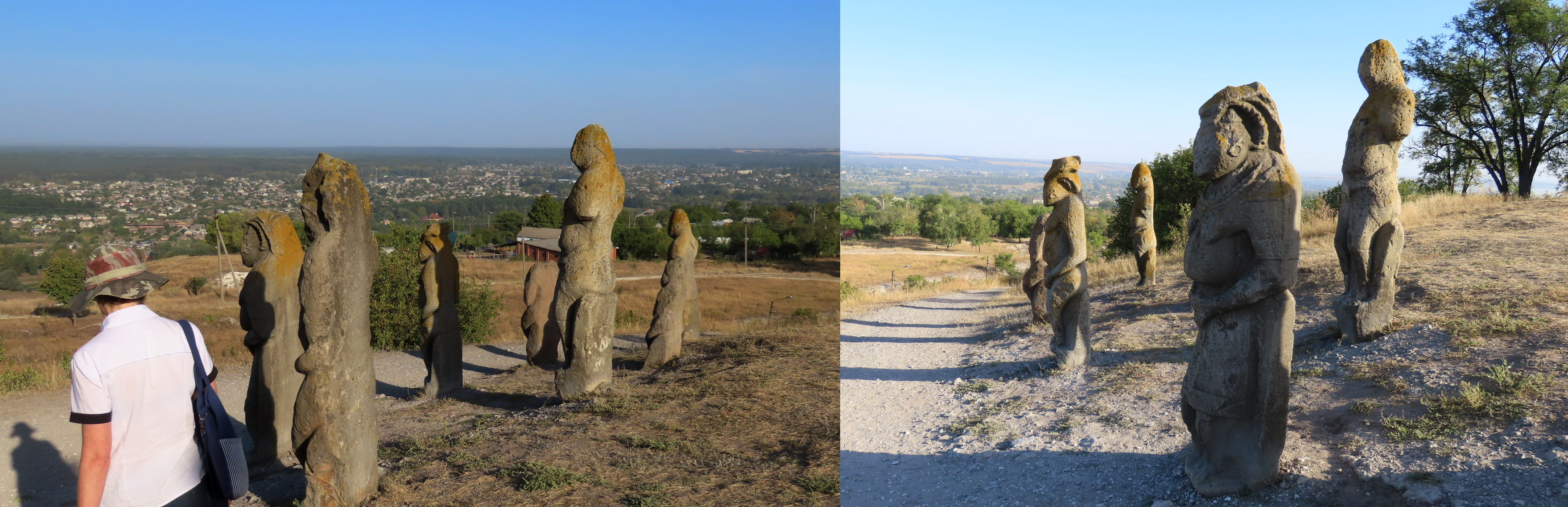
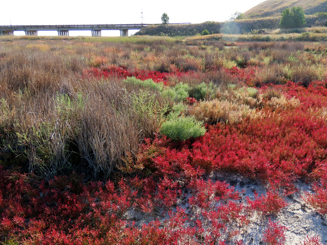
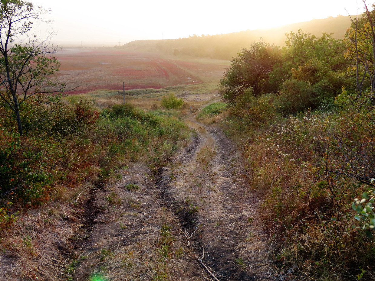
There are many exposed ferrous outcroppings, some marred with graffiti. But the view was spectacular.


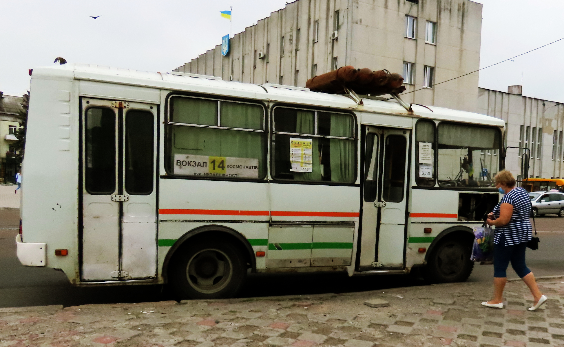
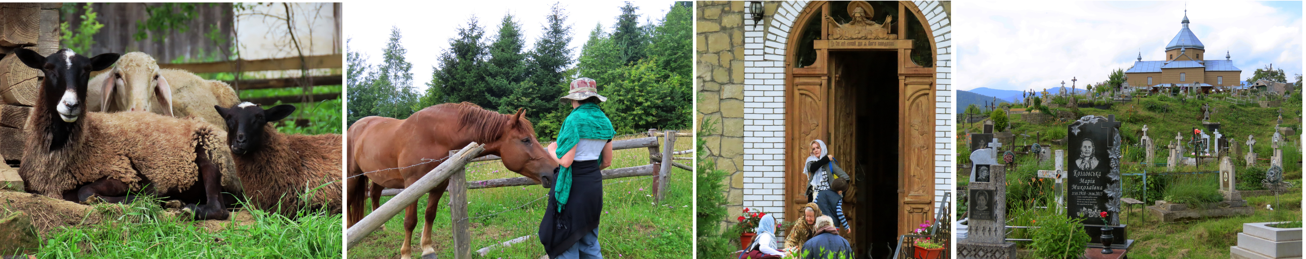
Kropyvnytskyi
From the same source I learned about – but did not see – Fortress Elizabeth, “the oldest preserved Earthen Fortress in Europe.”
We only spent one day here so I do not have much to comment about this pleasant city.


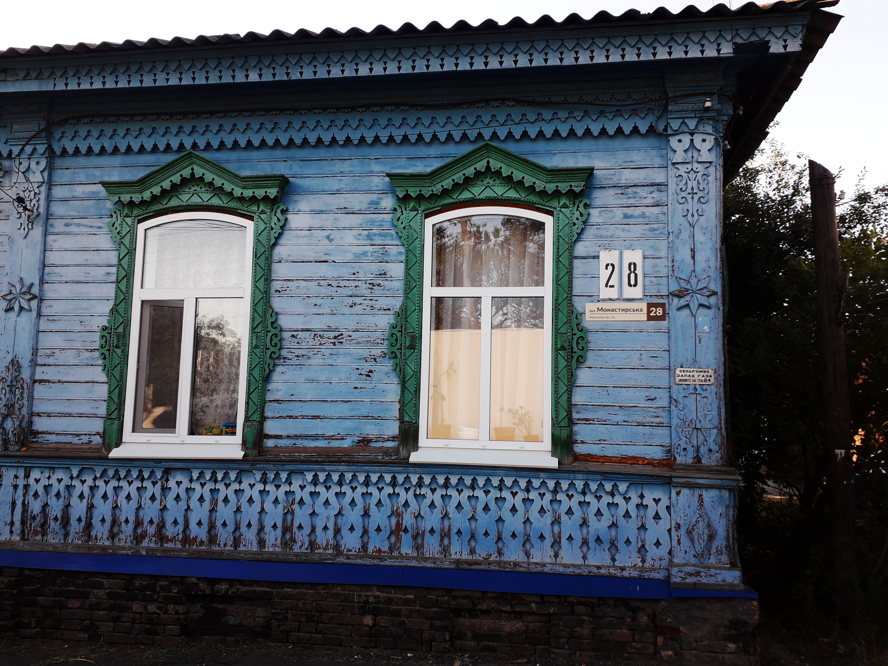
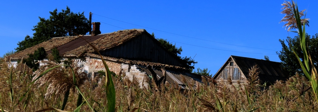
This could be a photo from a hundred years ago – if you do not look too carefully.
I hope you enjoyed reading these articles. Feel free to write. Comments, corrections, praise, censure – all equally welcome. Below are links to all of my Ukraine articles:
Ukraine Between Wars: Ivano-Frankivsk, Odesa, Kiev, Ternopil, Uman
https://fromnowhere2nowhere.wordpress.com/2022/04/29/ukraine-between-wars/
Ukraine Between Wars 2: Chernihiv, Nizhyn, Myrhorod
https://fromnowhere2nowhere.wordpress.com/2022/05/17/ukraine-between-the-wars-2-chernihiv-nizhyn-myrorhod/
Ukraine Between Wars 3: Poltava, Kharkiv, Izyum
https://fromnowhere2nowhere.wordpress.com/2022/06/05/ukraine-between-the-wars-3-poltava-kharkiv-izyumwe-stayed-only-a-couple-of-days-in-poltava-not-being-able-to-find-a-suitable-place-to-stay-long-consequently-i-did-not-get-to-see-the-city-like-i/
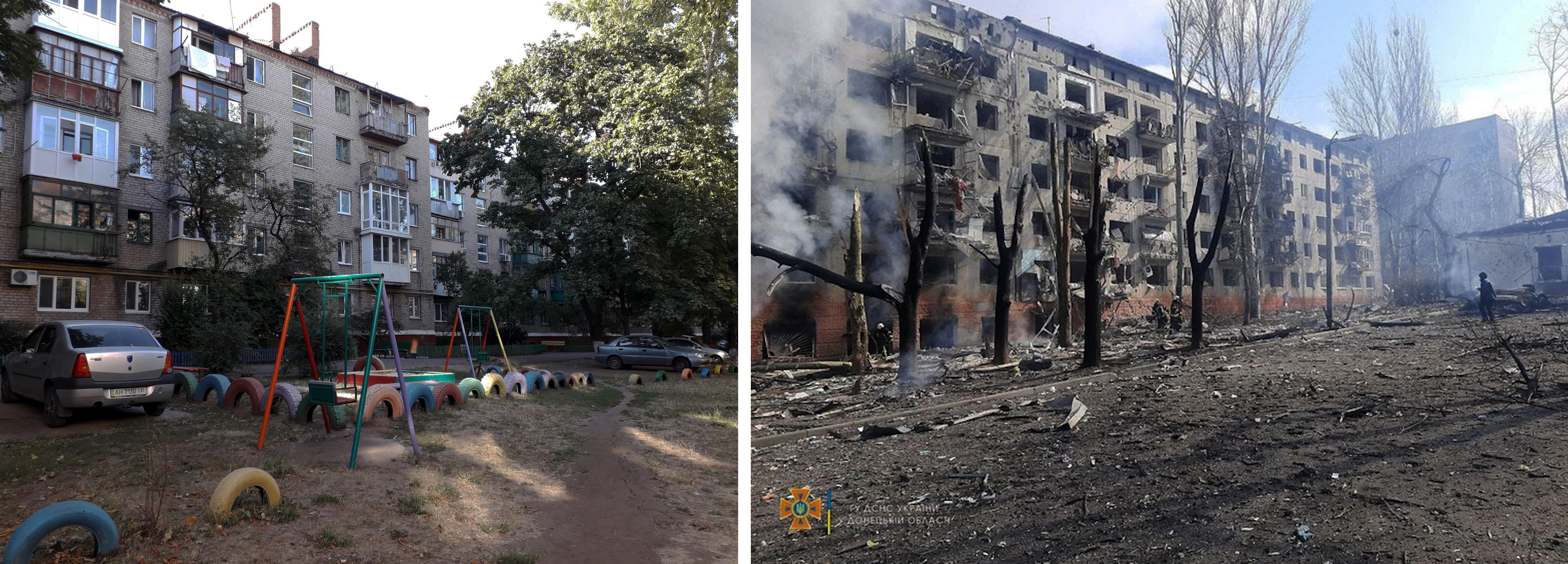
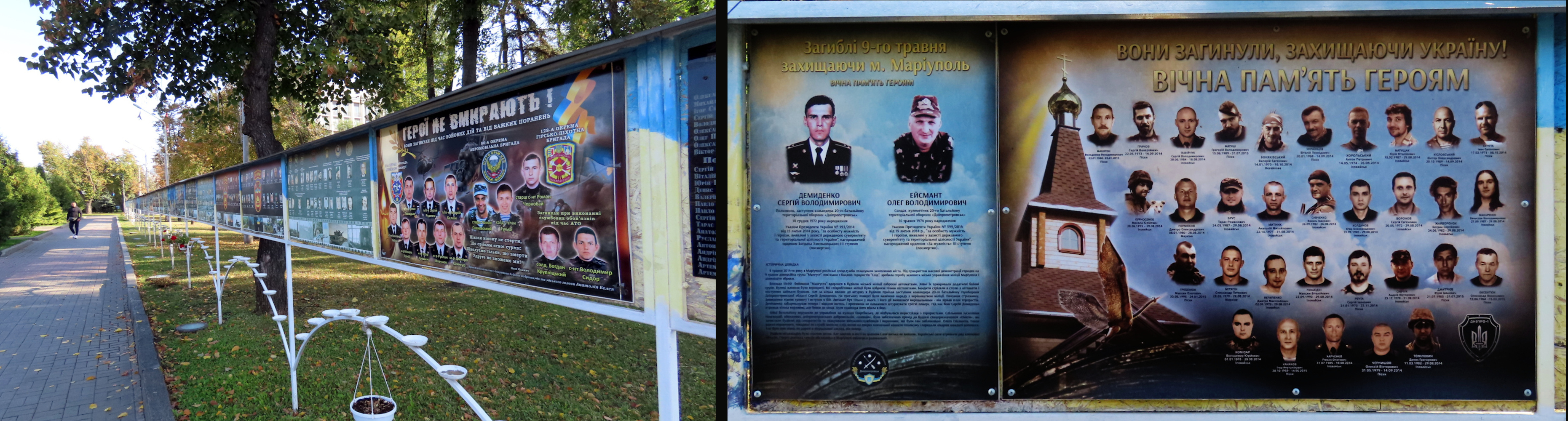
Ukraine Between Wars 4: Kramatorsk, Mariupol, Berdyansk
https://fromnowhere2nowhere.wordpress.com/2022/06/09/ukraine-between-the-wars-4-kramatorsk-mariupol-berdyansk/
Ukraine Between Wars 5: Zaporizhia, Dnipropetrovsk, Kryvyi Rih, Kropyvnytskyi
https://fromnowhere2nowhere.wordpress.com/2022/06/14/ukraine-between-the-wars-5-zaporizhia-dnipropetrovsk-kryvyi-rih-kropyvnytskyi/
DONETSK DETOUR: September 2020
https://fromnowhere2nowhere.wordpress.com/2021/09/15/donetsk-detour-september-2020/
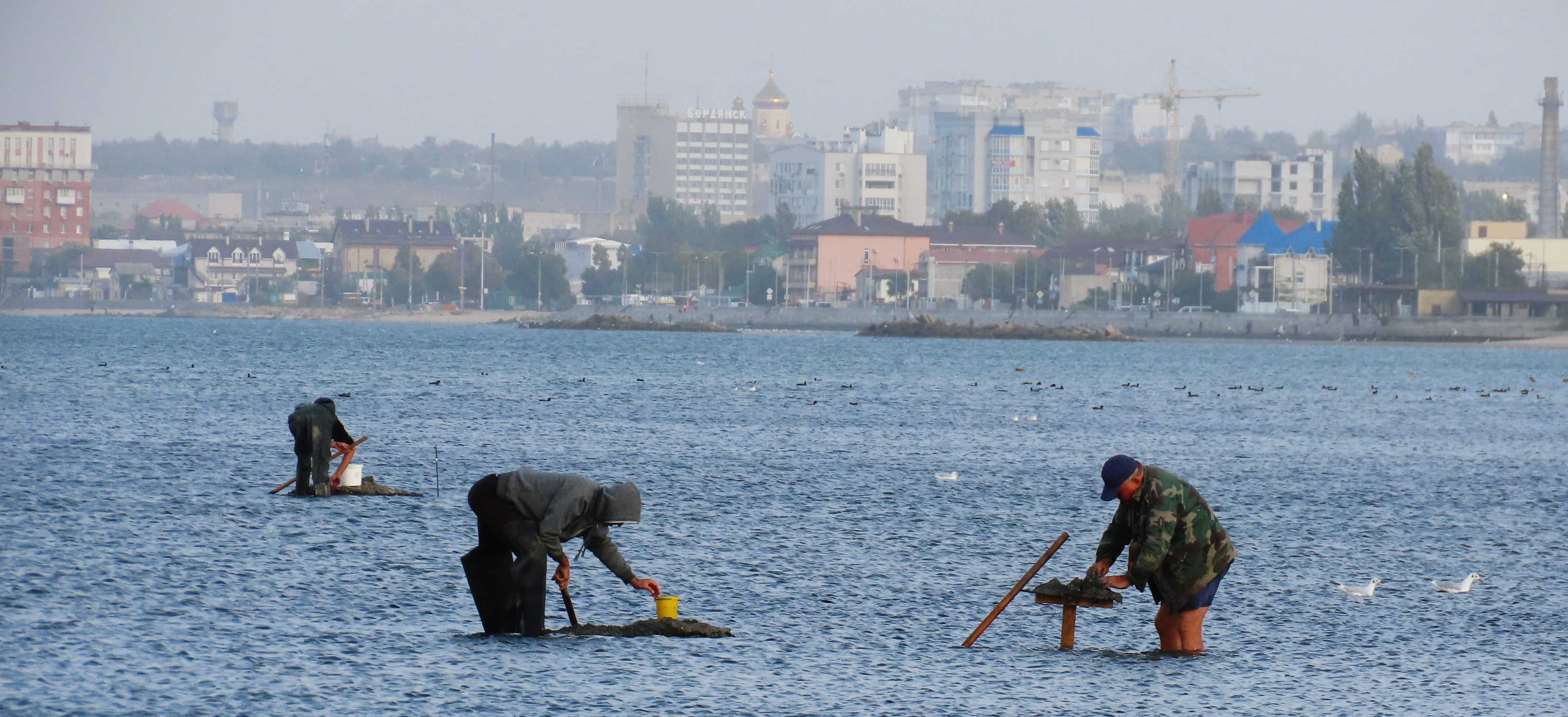
Berdyansk, “The Odessa of Azov”
https://fromnowhere2nowhere.wordpress.com/2021/10/20/berdyansk-the-odessa-of-azov/
YAREMCHE: UKRAINE’S WILD WEST
https://fromnowhere2nowhere.wordpress.com/2021/08/01/yaremche-ukraines-wild-west/