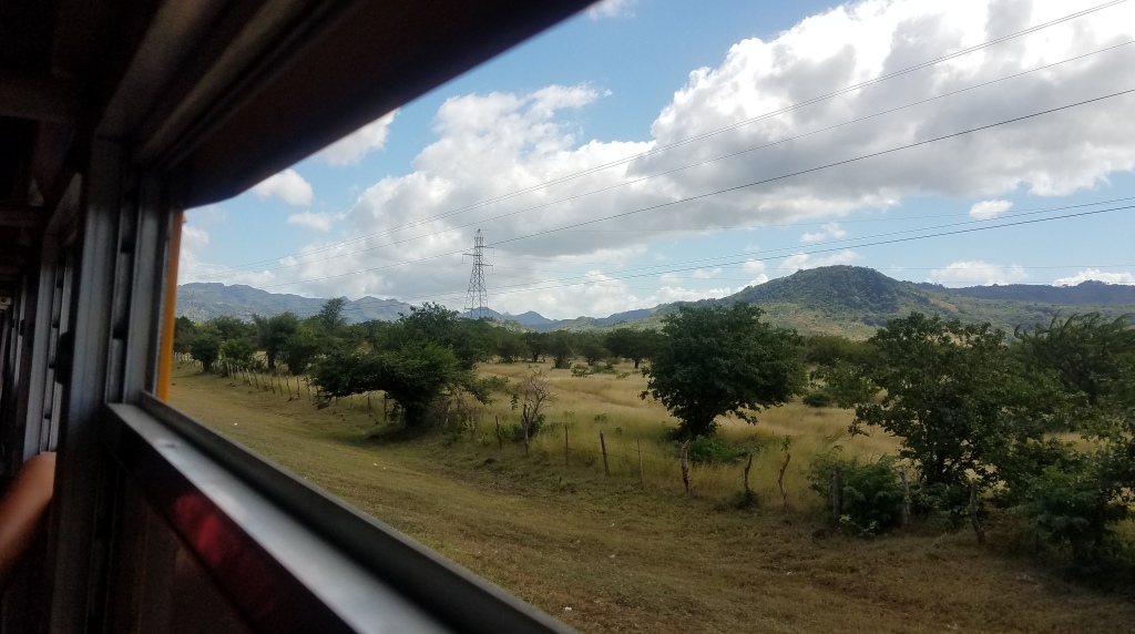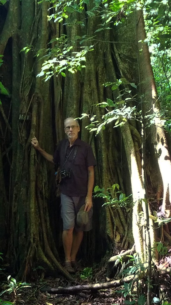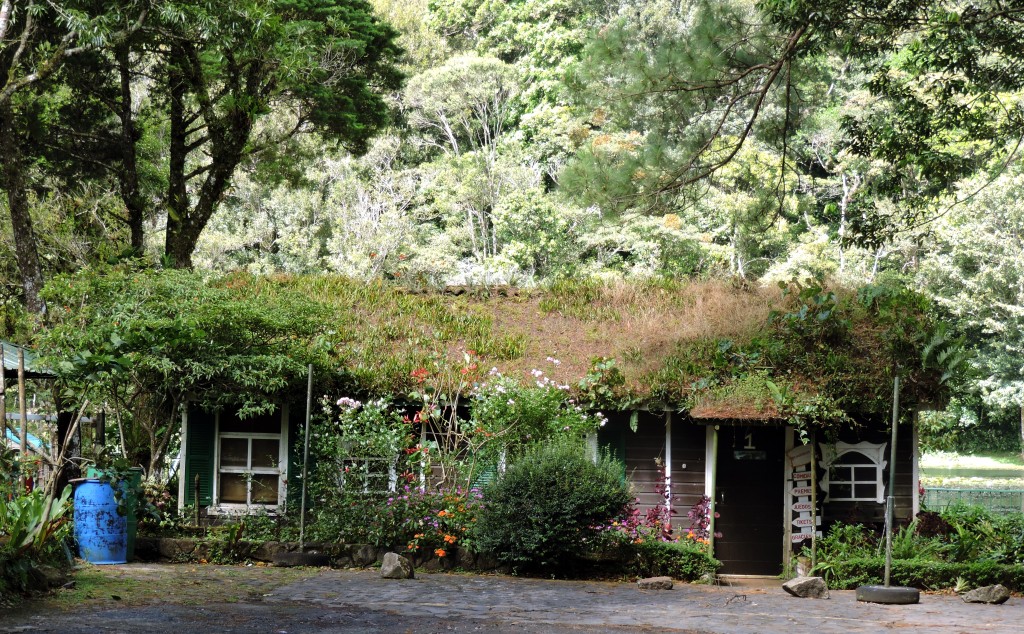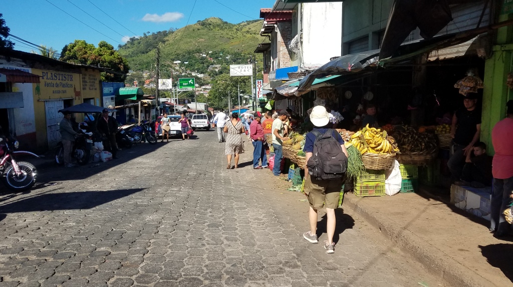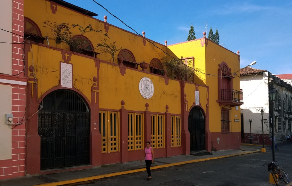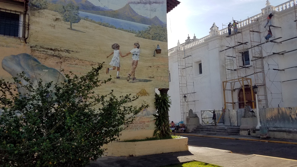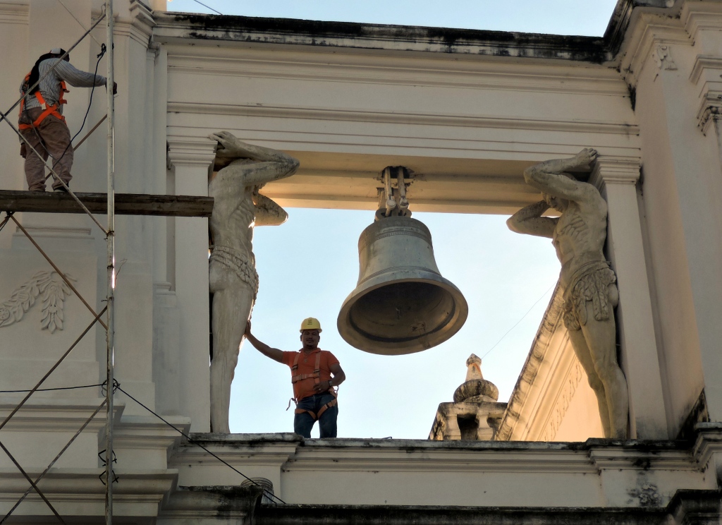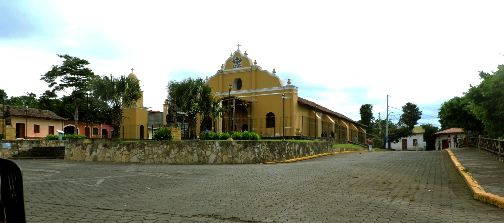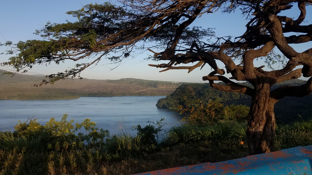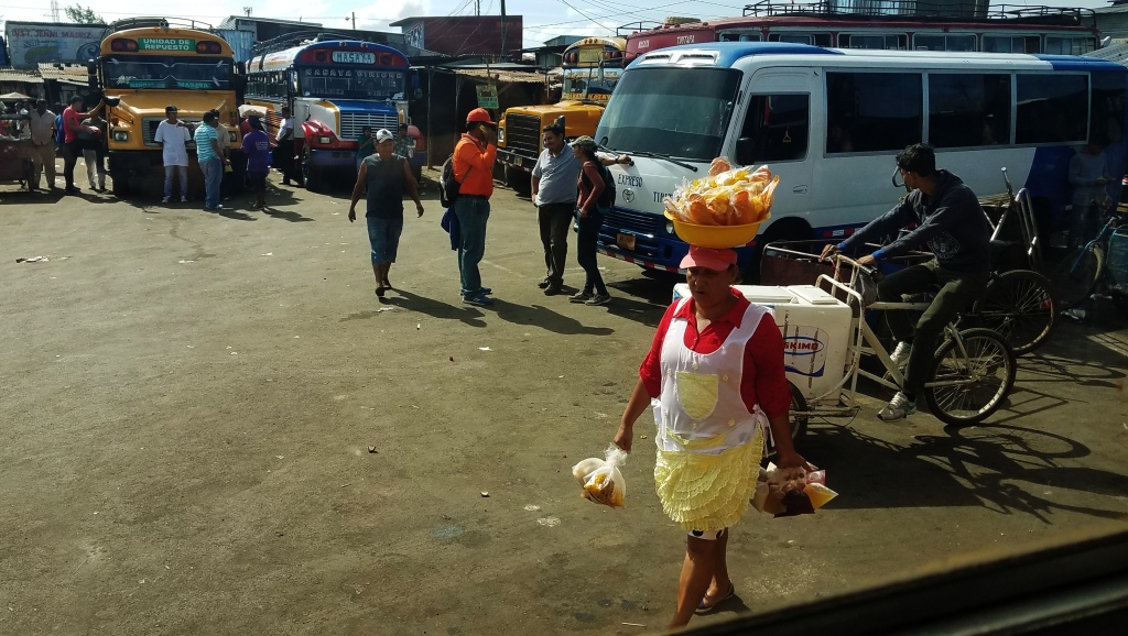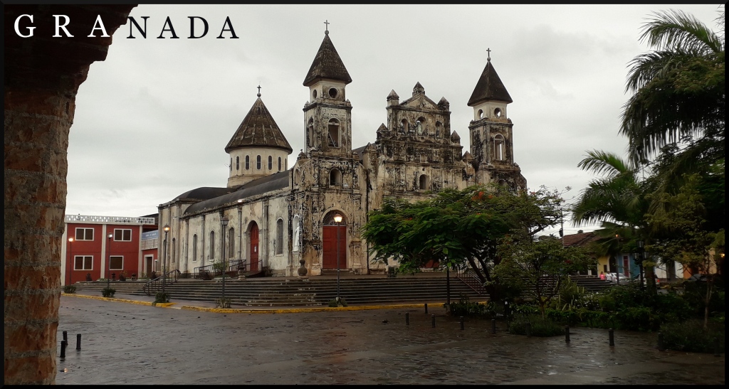
Index of the ten articles of our two trips through Nicaragua

When I first started to write of our experiences in Nicaragua I did not think it would require ten articles, but that is what happened. They say a picture is worth a thousand words. Hmm, according to my Flickr site I have 2,296 pictures of Nicaragua, so I guess it could have run to a lot more then ten articles!

Here are the article links and a short excerpt from each of them:

Nicaraguan Adventures
“When I first planned to write about our trips to Nicaragua I thought I would just make it a one-off. But the more I looked at the many photos I had to choose from – and the more those photos brought back memories almost forgotten – I realized that this will be another multi-parter, just like my Ukraine articles. Oh well, too many photos and too many memories is a good problem to have.”

Nicaraguan Adventures 2: Ometepe Island
“Volcan Concepcion dominates the left half of the photo. This was taken as our ferry approached Moyogalpa, also visible on the left. On the far right distance is Volcan Madera, the other volcano that makes up this dumbbell-shaped island. Most nature enthusiasts try to make it to this more remote volcano because the wilderness is better protected there. But, at least when we were there, the roads were worse and the hotels more expensive.”

Nicaraguan Adventures 3: Granada
“What a contrast this Granada was with the one we had seen in Spain, the city this one was named after by Francisco Hernandez de Cordoba in 1524, after having, along with Ponce de Leon and Hernan Cortes, conquered the country! Things did not go so well for him in later years when his patriotism lost its luster in the eyes of the new king. He was beheaded. But – on the positive side – his head was immortalized on the new national currency named after him – the cordoba!”

Nicaraguan Adventures 4: Diria and Masaya
“This town, founded 1523, is famous for medicine and magic, curanderos and shamans. On the festival of San Pedro the excited locals “accompany” the saint as he inspects the village, dancing (the townfolk, not Saint Peter) and, in the case of two or three men I saw in a video, waving around machetes like batons. I guess people come here from far and wide to see this, but my wife and I have seen such goings-on before.”

Nicaraguan Adventures 5: Jinotepe and Leon
“These two towns have at least one thing in common although they are not real near each other: They both had no decent hotel available for us. Consequently we spent only one night in each town. So there will be less commentary and more pictures for this segment.”

Nicaraguan Adventures 6: Jinotega, Selva Negra, and Matagalpa
“This is the scene my wife and I, sitting down after a hike up the mountain, were enjoying when the masked young man came out of the bushes. “I want that phone”, he said, holding up his machete. My wife threw down some money, but he didn’t want that.

“Give me the phone or I’ll kill you.“

“Kill me then“, I said, standing up. At the same time my wife stood up and yelled, “Ladron!” (“Thief”). At this point he lost his nerve, running back into the bushes. I threw a rock at him but don’t think I hit him. We were a bit shaken after this and reported the incident to the police. They faulted us for not going up the mountain with a police escort! I doubt if they even filed a report.”

Nicaraguan Adventures 7: Sebaco, Boaco, and Juigalpa
“The high point of the town of Juigalpa – literally – is the Mirador Loma de Tamames also called the Mirador Sandino boasts a
two dimensional representation – also literally -of their heroic General Sandino. A pleasant enough setting to enjoy the view and relax on benches decorated with paintings of cattle and birds that are now rarely seen near the town.”

Nicaraguan Adventures 8: Somoto & Chinandega
“We stayed at the aptly-named Hotel Panamericano, two blocks off of the international highway of the same name. Of course, “highway” may be misleading. This is just a main two-lane road cluttered with slow-moving traffic, pedestrians, and donkeys. In fact, Somoto is also called “el Pueblo de los Burros” – “Town of the Donkeys”.”

Nicaraguan Adventures 9: Esteli
“In many ways Esteli is quite the contrast to Chinandega (see previous article). The city , 3rd or 7th largest in the country, depending on which website you believe, it manages a laid-back atmosphere without the sketchiness of the previous town.”

“Many of the murals had revolutionary themes. Not surprisingly seeing that this city suffered immensely during the revolution in the 1980’s. The Nicaraguan populace finally won freedom over the Somoza dictatorship but not before serious bombardments from the latter. Esteli, especially, suffered major damage.”

Nicaraguan Adventures 10: Ocotal & Mozonte
“American history that did not make it into most American history books, certainly not the ones I taught with: Uncle Sam turning Nicaragua into its own bloody stomping ground. I have taught high school and junior high history for several years and never came across the embarrassing information I learned from my visit of the local history museum here in Ocotal. I knew the general strokes, the “who” and “where“, but never really processed the underlying “why” of it all. From the 1930’s to the Iran-Contra Scandal of the 1980’s our country’s actions were quite at odds with the democratic platitudes we preached. We were not on the side of the angels on this one.”

Nicaraguan Adventures 10: Ocotal & Mozonte

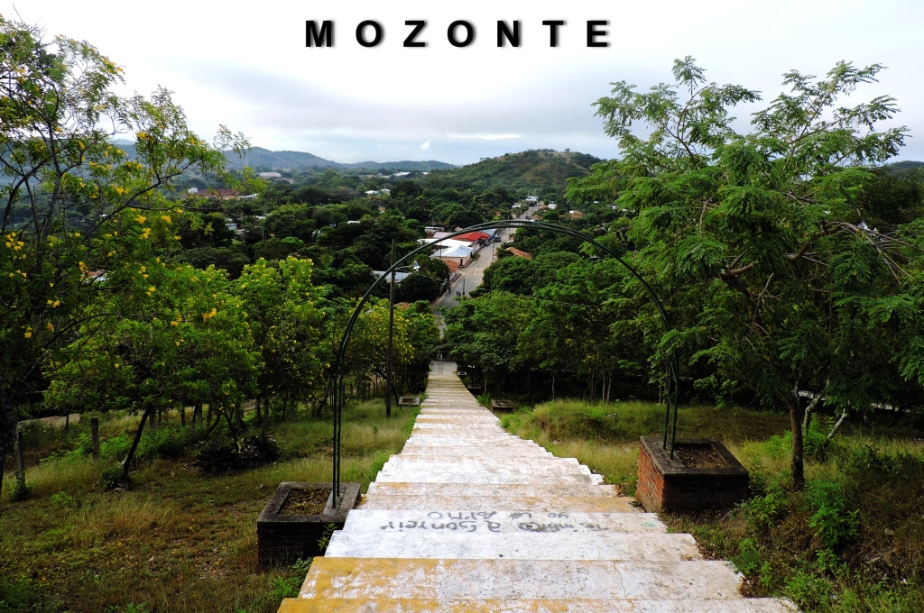
My last entry for Nicaragua will be of Ocotal and a little town just a bend or three down the road, Mozonte, a pleasant half-day trip. Both towns, in contrast to their recent sad, shared history of warfare against Somoza‘s Contra army, now seem very relaxed and peaceful. By the way, these are only my impressions. No one staying just a few days in a place gets to be an expert. All I have are impressions and experiences.

And photographs. I hope you like these. These photos, as is the case with almost all of my pictures, can be enlarged for better viewing.

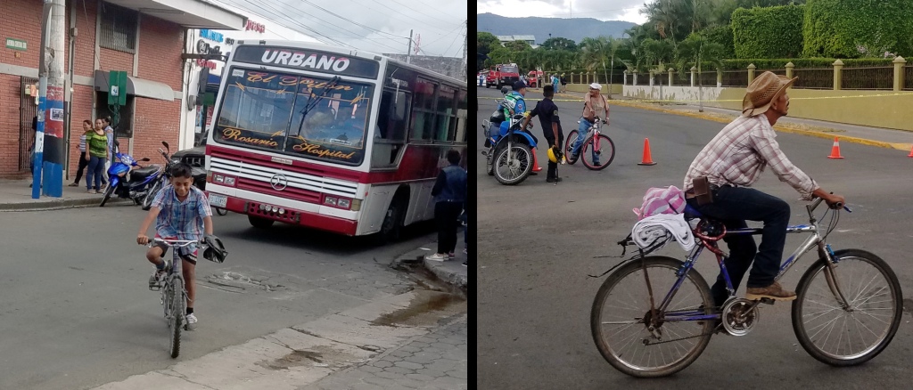
Left: One of several statues around the Parroquia Nuestra Señora de la Asuncion. The church is right across the street from the well-shaded plaza. Right: A brickmaker taking advantage of the cool morning hours. Along with being backbreaking work there is the recently discovered occupational hazard among these brickmakers (along with sugar cane workers) of drastic upsurges in CKD (Chronic Kidney Disease). It seems that pesticides in the soil these men come in constant contact with are to blame. CKD affects men much more than women, which fits with the profile for these occupations. it is now so common in Central American countries that it has its own medical term: Mesoamerican nephropathy.
American history that did not make it into most American history books, certainly not the ones I taught with: Uncle Sam turning Nicaragua into its own bloody stomping ground. I have taught high school and junior high history for several years and never came across the embarrassing information I learned from my visit of the local history museum here in Ocotal. I knew the general strokes, the “who” and “where“, but never really processed the underlying “why” of it all. From the 1930’s to the Iran-Contra Scandal of the 1980’s our country’s actions were quite at odds with the democratic platitudes we preached. We were not on the side of the angels on this one.

Two good books for further reading (with the appropriate caveat lector ) are:
Lies my teacher Told Me” by James W. Loewen and “A People’s History of the United States” by Howard Zinn.
Where town and nature meet: The steep valley of the Rio Dipilto.
Left: Soursop Tree. Center: Path along the Rio Dipilto. It should rather be called a “rillito“. The current is fast but it is not very far across. Top Right: River Crab. Bottom Right: Metalmark Butterfly, Calephelis laverna
Above and Below: Views of the center of town.
Eat, Sleep, Eat: Simple food, simple accommodations. This is how we like to live. Left: One of our favorite eateries a block or two from the plaza. The glass container has chili peppers of sufficiently potent firepower. Center: Our hotel room was, if I remember correctly, under $20. We get a fan, good and loud to drown out the occasional loudmouths walking by out front. The bed was sufficiently soft (unlike the one we are enduring these last two days here in Thailand!) The tiny TV works but the picture is snowy. By the way, those pieces of of paper on my keyboard are where I had to put the “correct” keys. This was a laptop I suddenly had to buy in Peru (long story!) and somehow the keys pressed did not always match with what you would think. (The “q” was the “z” and vice verse.!) Right: Vegetable broth with parrot on the side. Side of the wall, that is. Do you see him? He was quite tame.
Left: Community center. Right: Schoolgirls in front of a mural of historical events that happened way before they were born.
Bus Terminal
Unlike several other bus terminals this station has excellent timetables clearly posted “that he may run that readeth it”, Habakkuk 2:2. (Yes, I know that is out of context!)
Above and Below: Loma Santa, the site of many battles and prayers. The above photo shows a main street, such as it is, and in the distance, on the other side of town, Colina Sin Nombre (“Hill Without a Name“), on the north side of which is the town cemetery.
Miguel Angel Ortez Guillen, staring into eternity, presumably died with his boots on at the tender age of 24.
Behind the little hilltop chapel of Loma Santa is this approachable, pettable burro. There is a lot of good nature in the background and on the other side of the Mozonte River valley on the left.
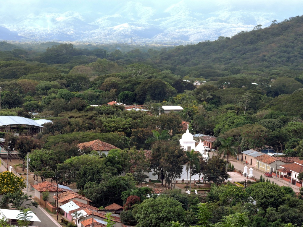
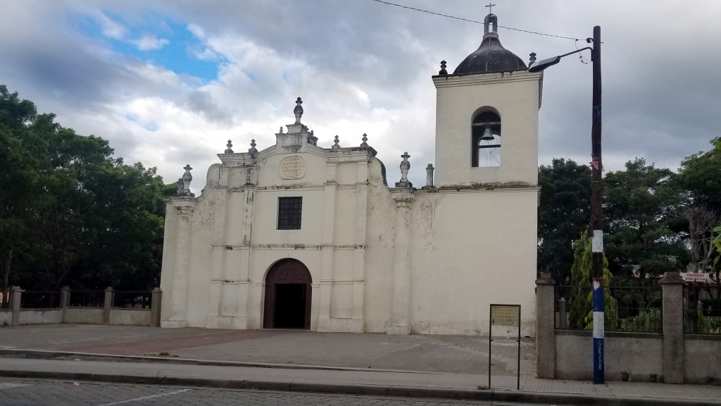
Another view of Mozonte from the Loma Santa. The prosaically-named Iglesia Catolica de Mozonte and plaza are in the center.
Crossing the Rio Mozonte brings us to this pleasant country road, with a few fincas (farms) on one side and, on the other, woods that extend magnificently up the hillsides.
Four birds surround an Epiphyte, growing on a telephone wire (Center). They are, Top Row: Clay-colored ThrushTurdus grayi, and Tropical KingbirdTyrannus melancholicus. Bottom Row: Gray-breasted MartinProgne chalybea, and the ever-present Great-tailed GrackleQuiscalus mexicanus. A graceful bird. This photo looks like it could have been an Audubon painting, don’t you think?
The peaceful Rio Mozonte
The day trip to Mozonte being ended, we went back to Ocotal and to the bus terminal. In a short while we left the country to return back north.

Next: I plan to finish up on our trip to Botswana, Africa. This will take maybe a post or two. Or three. Who knows?

Here is an index of all ten of the Nicaragua articles with links and a short excerpt of each:
https://wordpress.com/post/fromnowhere2nowhere.wordpress.com/2287

Nicaraguan Adventures 9: Esteli

In many ways Esteli is quite the contrast to Chinandega (see previous article). The city , 3rd or 7th largest in the country, depending on which website you believe, it manages a laid-back atmosphere without the sketchiness of the previous town. Or maybe we were just in the better part of the town. The people did seem a lot friendlier. Taking the city bus to the terminal several high school students were very interested in who we were and where we from and what we should see in their city.

But, like Chinandega, we did not stay long here. We never found a hotel to our liking and in our budget range at that time.

We were impressed with the variety of murals throughout the central part of town, many of them very well done.

Above: Environmentally-aware and whimsical murals. The caption reads, “We were born to be free. I don’t buy wild animals.
Below: Many of the murals had revolutionary themes. Not surprisingly seeing that this city suffered immensely during the revolution in the 1980’s. The Nicaraguan populace finally won freedom over the Somoza dictatorship but not before serious bombardments from the latter. Esteli, especially, suffered major damage.

Left: Che Guevera Center: Map showing Esteli and Northern Nicaragua. The surrounding dark green areas are the several nature areas. Right: Demonstration or “Manifestacion”.
Left: Bullet holes still visible in what is now the “Association of the Mothers of the Heroes and Martyrs of Esteli” Right: “Nuestros derechos hasta cuando?”, loosely translated to “How long before we get our rights?”
Demonstrations seen on our hotel TV showing that we did well to avoid Managua. A little too much excitement.

Above: A lot of cattle-raising in this area. The ones we saw look sleek and healthy. The horses also. Not like the unfortunate gaunt creatures I saw in Chinandega.
Below next three rows: Views of the downtown area.

Next: Ocotal and Mozonte

Nicaraguan Adventures 8: Somoto & Chinandega

Somoto, refers to the town and the canyon just a few miles north. We stayed at the aptly-named Hotel Panamericano, two blocks off of the international highway of the same name. Of course, “highway” may be misleading. This is just a main two-lane road cluttered with slow-moving traffic, pedestrians, and donkeys. In fact, Somoto is also called “el Pueblo de los Burros” – “Town of the Donkeys”. The hotel was cheap enough and the owner was very accommodating. The only sad part was seeing those nervous spider monkeys kept in small cages.

The photos are from our two separate trips, November 2018 and May 2019.

Left: Government building with Sandinista flag over the entrance. Top Right: Waiting for a ride at the bus terminal. Lower Right: Our favorite meal in Somoto are the Nacatamales. Much better than the usual tamales we get in Mexico. Ours had mixed into the masa rice, meat, potatoes, olive, and raisins. And I’m sure I am forgetting an ingredient or two.
Opposite the well-shaded town square is the Templo Santiago Apostol, built in 1611. One of the very oldest churches in the country.
Incendiaries & Ice Cream (in the far right corner). The town, like in other rural parts of Nicaragua, has several Sandinisti and Socialist-themed murals.

We were planning on exploring the area outside of town but found the surrounding hills hard to get to. Also we had heard that robberies have been known to happen in the hills close to town. So we took the local bus to go to a famous, and safer, canyon of the name as the town. It was worth the trip. Somoto Canyon is maybe two kilometers from the Honduran border.

I wanted to do some hiking in these hills bought we heard too many cautionary tales of muggings.
Bus rides in Nicaragua are always an adventure, good and bad. The seating – at least for this tall Gringo – is excruciatingly cramped. And the driver often has the music playing really loud. We routinely take earplugs with us.

Do you see the ladder and bars around the top of the bus? I have seen the helper climbing up from the front on to the top and then see him come back in the bus via the rear door. All while the bus was in transit down the curvy road!
On our last day trip to Somora Canyon we rode out on the bus you see here, but came back in a crowded transport truck. We waited over on hour for the bus that never came.
The real draw to this area is the canyon, not the town. We came here twice. One of the times we hired a boatsman to take us far into the canyon. The second time we entered from a different road and traversed the canyon where it was more shallow.
Left: Coming back from our canoe trip we met a Chinese tour group entering in. 大家好! Center: Plenty of of livestock wandering through parts of the National Park. Right: Along the steep sides of the canyon there were the stately Cardon Cactuses.
We chose the muddy Frostian path less traveled. But well-traveled by cattle, making our hike difficult. I think my weight doubled with each muddy footstep!
Two beauties of the canyon. Left: Sulphur-bellied Flycatcher, Myiodynastes luteiventris Right: Turquoise-browed Motmot, Eumomota superciliosa. This second bird is called “Pajaro Reloj” – “Clock Bird” because his tail swings back and forth like an old-fashioned clock.
Our second time here the path was impassable without getting the feet – or hooves – wet.
Left: The loud rattle of the Ringed Kingfisher, Megaceryle torquata, is almost always heard before seen. Right: Blackbelly Racerunner Lizard, Aspidoscelis deppii.
Left: I don’t mind getting wet. At least in areas where there are no crocodiles! Right: At the end of our boat ride, before heading back.

Next: Chinandega, a sketchy little town that kept us on our toes. See the map for the location of both of these towns.

We wrestle not with flesh and blood, but with … Molotov Cocktails? A contrast of wars and warriors, sword and shield armored angel (?) and a plucky revolutionary, lighted Molotov in one hand and firearm in the other.

Close to this statue, thankfully not visible, was a scrawny guy who, well, clearly did not know how to work his zipper correctly.
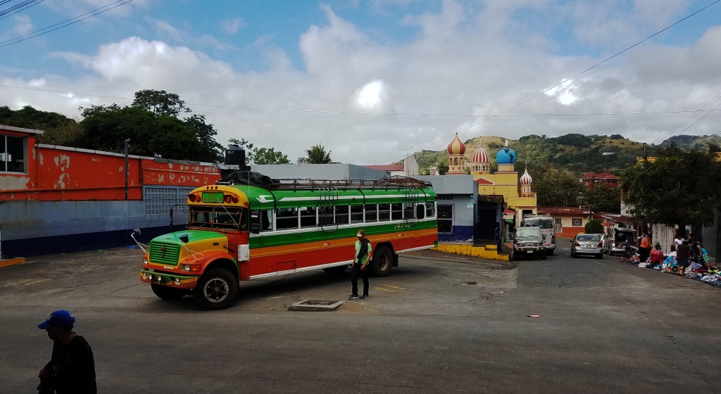
1. Our bus that brought us here was quite colorful. 2. Painted statues and pithy political slogans are common throughout Latin America. 3. This Orange-chinned Parakeet, Brotogeris jugularis, doesn’t really fit in this set of four but it was the only bit of wildlife I saw in this town. 4. A common mode of travel here is the pedi-cab taxi.
Above and Below: Market area spills over into several side streets.
In our hunger we momentarily forgot that ordering pizza anywhere south of the Rio Grande is a risky proposition. We waited almost an hour for this pizza. Yet it was clearly undercooked. Not worth the wait.
It was hard to know where the bus terminal starts and the market ends.

I would have taken a few more pictures but after I took my phone out I was warned to put it away because of all the thieves and pickpockets. All in all this town was one of the least favorite places we visited.

Next: Ocotal, Mozonte, and Esteli, colorful and quaint corner of northern Nicaragua. I would have liked to have stayed longer in these next towns.

Nicaraguan Adventures 7: Sebaco, Boaco, and Juigalpa

SEBACO – (Fruit and Vegetable Town). I had already mentioned this town in the last article. Actually we never set foot in the town proper, just stayed on the bus at the crucero (“crossing”) as the hawkers came on board with their various wares. The most common items were the tomatoes in bags. You can see them hung up behind the man with the red hat.
ABOVE: Another vendor takes advantage of his captive audience as the bus travels southward. I believe he was selling herbal medicine. It is a common practice in Latin American countries – we have experienced this from Mexico to Peru – for vendors to get on at a certain point, give their shpiel (usually loudly) and then get off to get on another bus with all new customers going back the opposite way.

BELOW: The map shows our next stops. It was complicated getting to Boaco because we first had to wait quite a while at Tipitapa (famous for a notorious prison nearby) and then wait for a bus going our direction. If I remember correctly (this was back in 2018) for some reason we had to get another bus at Teustepe. The towns in these last two articles are pretty much off the tourist radar. Especially these last two we are going to. That means increasing difficulty in travel.
BOACO: Ciudad de Dos Pisos (“Two-story City“), referring to the very hilly layout of the place. We can definitely attest to that. We walked down from the terminal (above) and up again to get to downtown and our hotel.

Another slogan for the city could have been “City on the Move“, because it had relocated twice before. They were first 15 miles east of here but were attacked, under British instigation, by neighboring native tribes. Having settled again along the Malacatoya River they belatedly discovered that they were in a flood zone. So they came to the present site “between 1552 and 1572” (Wiki).
Parroquia Nuestra señora del perpetuo socorro Buaco is in the background. Russian influence? Not as far as I could find out. The church is Roman Catholic.
The view from our Hotel Alma.
Motherhood Statue in the Parque Central.
Iglesia Santiago Apostol
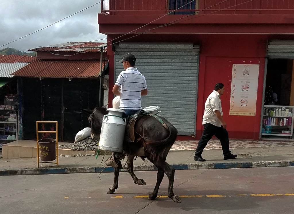
Milkman coming through.
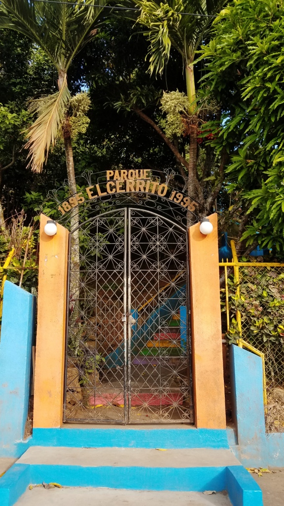
Parque El Cerrito (“Hill Park”) perhaps should be called “El Cerrado” (“Closed Park”). It is probably good for a view of the town but for nature not so much. It did not officially open until 10 AM. And even then it was not open.
JUIGALPA: Above and below are views of the Catedral Nuestra Señora de la Asunción, a modern-looking church with old bells. Bells that we heard ringing all hours of the night from our hotel two blocks away. “Ringing” gives the wrong impression. The sound was very un-bell-like, like rusty pails. And the street noise of vendors and down-the-block music, and the raucous evening gatherings of countless Red-eyed Cowbirds added to the cacophany
A common feature of Latin American churches is the prominent display of dead Jesuses. Representations of the risen Christ are much rarer.
The town itself certainly had charm and interest. We would often go to the park for ice cream or hamburgers. The whole region is famous for raising cattle, the number one beef producing area in the whole country.
Downtown Juigalpa. The people were pretty friendly. Foreign visitors are rare here compared to Granada across the lake.
Huffing and other drug use, as well as drunkenness, is a real problem here.
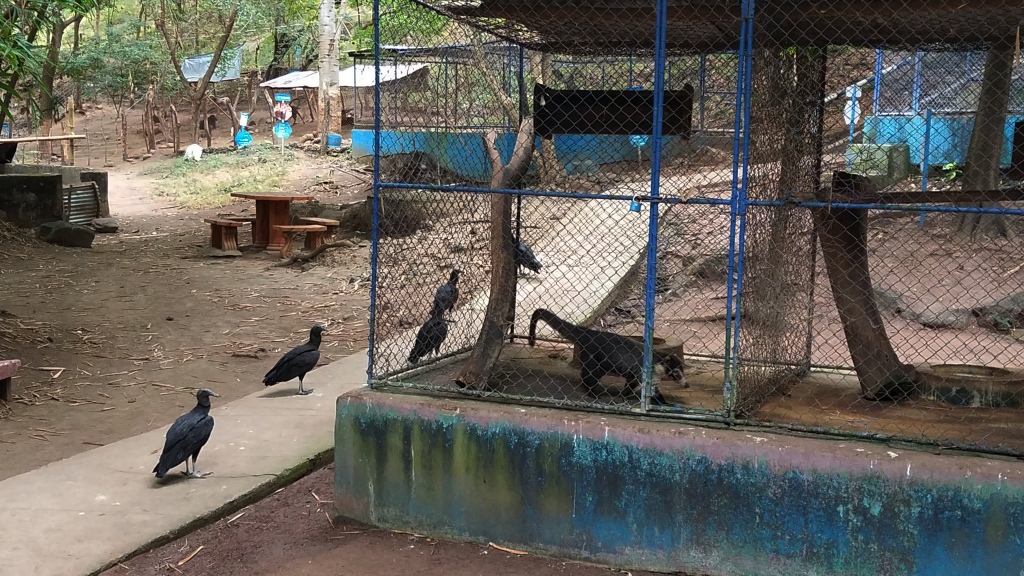
Thomas Belt Zoo admission was c.25 (2018) Supposedly it is an ” impressive selection of animals”. Animal Gulag is more like it. The cages were way too small. Several of the animals looked rather nervous and unhealthy.
The high point of the town – literally is the Mirador Loma de Tamames also called the Mirador Sandino boasts a
two dimensional representation – also literally -of their heroic General Sandino. A pleasant enough setting to enjoy the view and relax on benches decorated with paintings of cattle and birds that are now rarely seen near the town.
Leaving Juigalpa. Actually, I think this photo is of our approach to that town, but since we had to backtrack again this is the same scenery we saw on the way out. This whole region, as I wrote above, is largely given over to cattle raising.

NEXT: Northwest Nicaragua

Nicaraguan Adventures 6: Jinotega, Selva Negra, and Matagalpa

This is the scene my wife and I, sitting down after a hike up the mountain, were enjoying when the masked young man came out of the bushes. “I want that phone”, he said, holding up his machete. My wife threw down some money, but he didn’t want that.

Give me the phone or I’ll kill you.

Kill me then“, I said, standing up. At the same time my wife stood up and yelled, “Ladron!” (“Thief”). At this point he lost his nerve, running back into the bushes. I threw a rock at him but don’t think I hit him. We were a bit shaken after this and reported the incident to the police. They faulted us for not going up the mountain with a police escort! I doubt if they even filed a report.

This was our most lasting impression of Jinotega.

The next two photos below are also from this town.

In between the ratty town I just told you about and Matagalpa is this delightful piece of greenery, La Selva Negra (The Black Forest). It is quite extensive with lots of trails, marked and unmarked. The entrance fee was about five dollars per person. Sometimes we paid for it and made a day of it. Other times we just went as far as to the entrance. The dirt road connecting the highway to this entrance was about a kilometer, so there was already plenty of wildlife to see as well as the peaceful scenery.
This dirt road to the entrance was semi-open woods in some areas, the grounds given to coffee plantations. If the worker has to wear a mask this fumigation cannot be good for the animals or the entire ecosystem.
Plantation worker.
Some wildlife along the dirt road. Bushy-crested Jay, Cyanocorax melanocyaneus
Eighty-eight Butterfly. Sometimes their wing-pattern looks more like eighty-nine.
Streak-headed Woodcreeper, Lepidocolaptes souleyetii. Woodcreepers are always fun to watch. And, unlike many birds on flimsy twigs, woodcreepers are much easier to focus on. He was seen in the trees lining the entrance of this nature reserve/coffee plantation. Some of these trees along the road were long-bearded with Spanish Moss, reminding me of photographs of old Confederate generals.
Yellow-backed Oriole, Icterus chrysater, eating blossoms from a Banana Tree
Staying at La Selva Negra was also an option.There were accommodations less rustic than this, but we decided to pass on staying at the park. This building shown here may not even be a place to stay in anymore, but I think it would be an idyllic break from this crazy world.
Instead we stayed at the town just the south, Matagalpa, more economical. Our hotel was close to the center as well as the market and bus terminal.
A river runs through it. A trashy, sewagy river.. Trash, sewage – and the occasional egret and kingfisher – are seen here.
These fine gentlemen came to the rescue when I had problems with my guitar. I also bought some new strings here which they set up right there.
Heading south. We took the bus to Boaco (see map). But first we made a short stop at Sebaco. We just call this Fruit and Vegetable Town. In the five minutes we wait there a dozen or so vendors come on board selling tomatoes, peppers, onions, bananas, and other fruits.
The next article will mostly cover Sebaco, Boaco and Juigalpa.

Nicaraguan Adventures 5: Jinotepe and Leon

These two towns have at least one thing in common although they are not real near each other: They both had no decent hotel available for us. Consequently we spent only one night in each town. So there will be less commentary and more pictures for this segment.

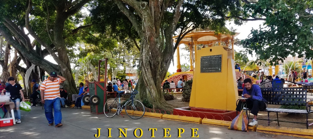
Jinotepe

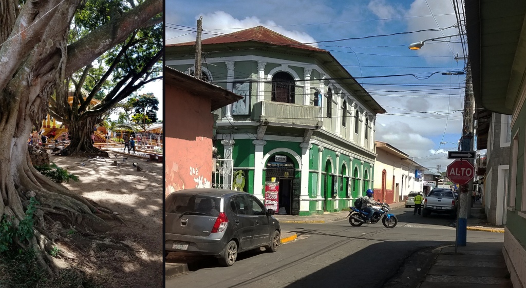
Above and Below Left: Central Park. This is where the pulse of the town is. It is very hard to get information on this town so I took a gander at the reviews from Google. Lots of fruit and snack stands are here. Some weekends you will be treated to marimba music.

Concerning this park several people wrote that it was rather unsafe, especially at night. Speaking of nightlife, one reviewer related that he rescued a sloth off the street. I checked iNaturalist and apparently there are Two-toed Sloths in the area! The park has free Wifi. It also has one of those tiresome outstretched wings statues where you can stand in front of it and pretend to be an angel. Bordering the park is the Cathedral and the German Polytechnical Institute.
On the right is the first hotel we tried to go to. The old lady took a look at us and shivered a big No. Hmm. First impressions. Our second hotel candidate had load piped-in music in all the rooms. Nope. Our third hotel was doable but forgettable.
Parroquia Santiago Apóstol. A very old church, obviously. How old? I could not find out.
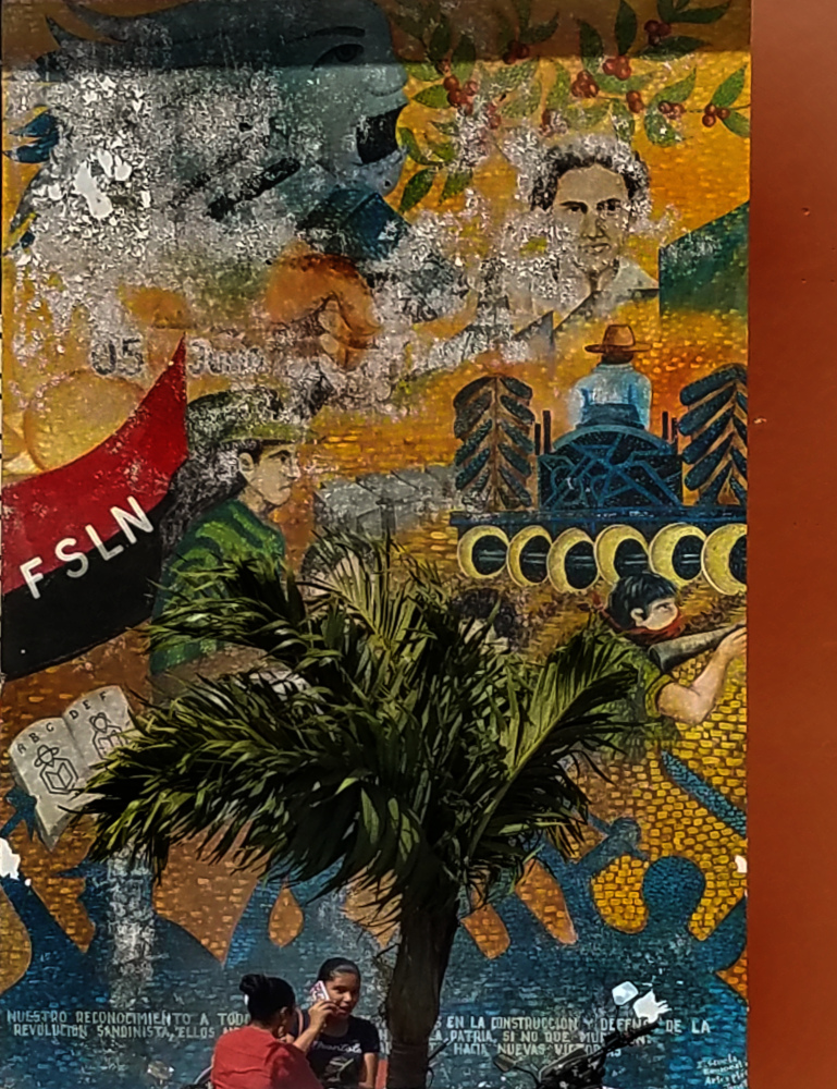
Like many Nicaraguan towns, Jinotepe has murals and patriotic art memorializing the Sandinistas.
Walking across a weedy field brings us to our bus station. Right net to the market.
Horse-drawn vehicles not uncommon here. This young horse seems better fed then some I have seen in this country. Many owners try to get by with just letting their horses eat grass, stinting on oats.

Leon

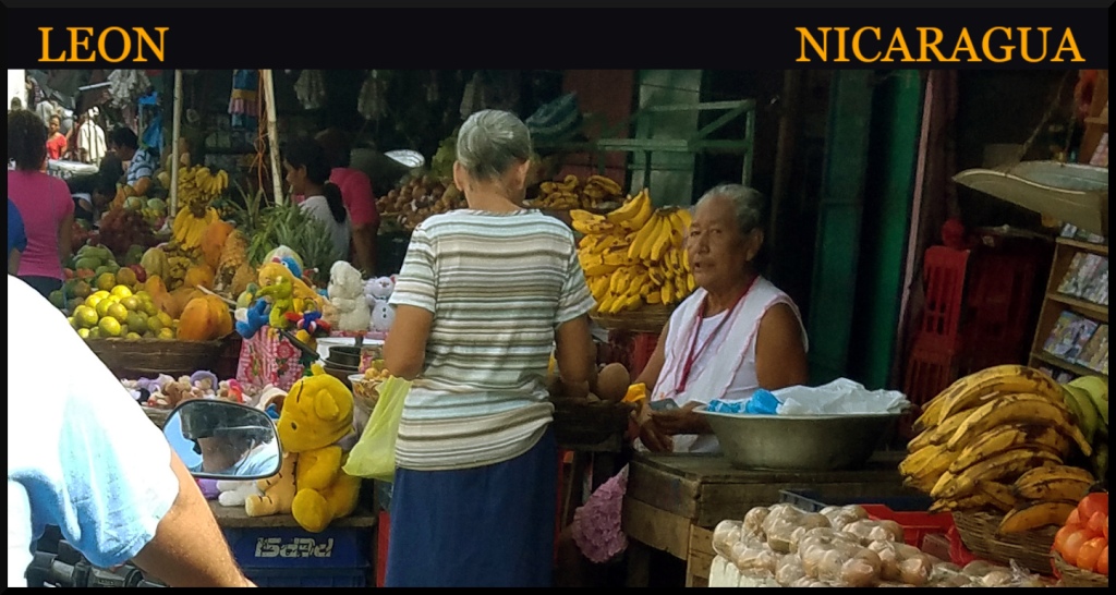
Three photos in a row with bananas and other fruit. Really cheap, really fresh. In the first two photos you an see part of a motorcyclist. A very crowded situation, but lively. In China this scene would be called “re nao” (“hot boisterous”).
Left: Unlike the previous town in this article, Leon has a really decent supermarket. Right: Leon and Jinotepe in Western Nicaragua. Notice that I did not highlight Managua because we never stayed there, only changing buses here once or twice – and that hurriedly. A really sketchy city. At the time of our first visit to the country there were still robust demonstrations against Ortega. Several people were fired upon, some fatally, by snipers.
Lots of old architecture in this city.
This city has much in common with Granada. Both cities are named after ones in the home country of Spain. Both have plenty of old structures, churches especially. But, unlike Granada, Leon has a lot more murals celebrating recent history. And they seem to be more determined to maintain their churches than Granada does.
I have not been able to identify this church.
The Iglesia La Recolección (Church of the Recollection) is much more impressive on the outside. The interior, except for the rightly famous baroque altarpiece, is less remarkable.
A lot of remodeling is being done on the Cathedral-Basilica of the Assumption of the Blessed Virgin Mary. Inside this church is the grave of Ruben Dario, probably the most famous writer of Nicaragua.

A lot of tourists come to this city. For various reasons. We met a young man who was enamored with a local heroine, Nora Astorga, the “Nicaraguan Mata Hari”. Wikipedia has a lot of information on her, her seduction and subsequent part in the murdering of a government official, her work for the Contras, and early death from cancer. She had even helped write speeches for the new president Ortega. This was all in the 80s and since then a dubious hagiography has grown around this woman.


The Nicaragua series continues here with: Jinotega, Selva Negra, and Matagalpa

A separate series starts here: Goodbye, Cozumel.

Nicaraguan Adventures 4: Diria and Masaya

DIRIA

This town, founded 1523, is famous for medicine and magic, curanderos and shamans. On the festival of San Pedro the excited locals “accompany” the saint as he inspects the village, dancing (the townfolk, not Saint Peter) and, in the case of two or three men I saw in a video, waving around machetes like batons. I guess people come here from far and wide to see this, but my wife and I have seen such goings-on before. We made a beeline for the road leading to the nature area overlooking Laguna de Apoyo, a volcanic lake. By the way, “volcano lake” in Nicaragua is almost always redundant.

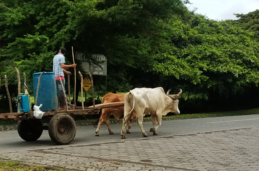
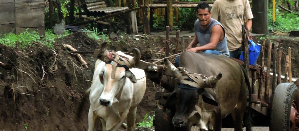
I was so glad to get this photo. A picture of power. Did you know that draft horses are more powerful than oxen, but not as economical to maintain? That may be why we saw quite a few oxen providing the horsepower.
The long and winding path that leads down to the lake. Unlike some paths we have been on in Central America this trail was pretty natural. We saw monkeys, squirrels, various flycatchers, motmots, tanagers, even a couple of manakins.
Cane Toad, Rhinella marina. I think this is part of their natural range, but they were unwisely introduced elsewhere. An ecological blunder of scientists who thought that importing these voracious tropical critters would keep the Cane Beetles in check. They didn’t. But they did reduce the number of various indigenous animals. And they reproduced. And reproduced.
Finally made it to the lake. Do you see those dark objects floating near the shore. Those are pieces of tuff, very light, porous, volcanic rocks. Residents here sometimes use them to scour their utensils. Tuff is actually solidified ash. If rocks have more than 50% percent tuff they are classified as tuffaceous. And the higher the “tuffness” the more they float. I scooped up a couple as souvenirs.

What a view! We had the whole place to ourselves.
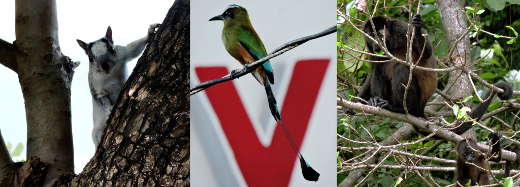
Area wildlife, Left: Variegated Squirrel. Center: Turquoise-browed Motmot, Eumomota superciliosa. Right: Mantled Howlers, Alouatta palliata

MASAYA

The Parroquia San Jerónimo in the background, known for its Mary statues and, in November, marimba music.
Coyotepe Fortress overlooks the rail line and city it could not defend. Nicaraguan rebel force led by General Benjamín Zeledón fought against government troops of President Adolfo Díaz and U.S. Marine Major Smedley Butler‘s marine battalion. Butler and fellow Marine Colonel Joseph H. Pendleton later stormed the hill and fort, capturing it. General Celedón was killed, “his dead body dragged from a trotting horse, to instill fear among the population and to prevent a potential uprising. But quite to the contrary, Celedón’s death was the spark that inspired Augusto C Sandino and other famous figures to fight for 7 years” (Wikipedia).

Smedley Butler, one of the Americans instrumental in taking the fort, later had a change of heart about his involvement: “I spent most of my time as a high class muscle man for Big Business, for Wall Street & the bankers. In short, I was a racketeer, a gangster for capitalism. I helped in the raping of half a dozen Central American republics for the benefit of Wall Street. I helped purify Nicaragua for the International Banking House.” . From his book, “War is a Racket”.
A famous local journalist, immortalized in the photo on the left. The photo on the right is one of several structures that still have bullet holes.
The Central Masaya Market Castle has several murals within the walls, as well as artisan stalls. In contrast to the chaotic market by the bus terminal, this place is more spacious and upscale.
More bullet-riddled quaint buildings. Can you find the Beatles poster?
Masaya, like Diria, has its own volcanic lake. From the malecon and park at the edge of town you can see the lake and volcano. Two volcanoes, actually: Masaya and Nindirí. And still very much active, last erupting in 2003.
Masaya Market Castle, Mercardo de Artesanias (Craft Market) is located inside what used to be the “mercado viejo” (old market), a 1900s structure that is located near the center of the city.
Bus Terminal and Local Market. This is the place to get cheap produce or a quick meal. The market is very extensive, honeycombed with narrow passageways. It is easy to get lost here or, in my case at least, have a back ache from bending over from all of the low clearances! Vendors come out to the Terminal and come on to the bus selling tortas, mangoes, etc.

NEXT: Jinotepe and Leon

Nicaraguan Adventures 3: Granada

What a contrast this Granada was with the one we had seen in Spain, the city this one was named after by Francisco Hernandez de Cordoba in 1524, after having, along with Ponce de Leon and Hernan Cortes, conquered the country!

Things did not go so well for him in later years when his patriotism lost its luster in the eyes of the new king. He was beheaded. But – on the positive side – his head was immortalized on the new national currency named after him – the cordoba!

The Guadalupe Church, at the end of Calzada street is, in my opinion, the best example of colonial architecture of the entire area. It was built in 1626 by Fray Benito Baltodano, but rudely repurposed as a fortress by William Walker in 1856. That man sure caused a lot of trouble for this city and country.

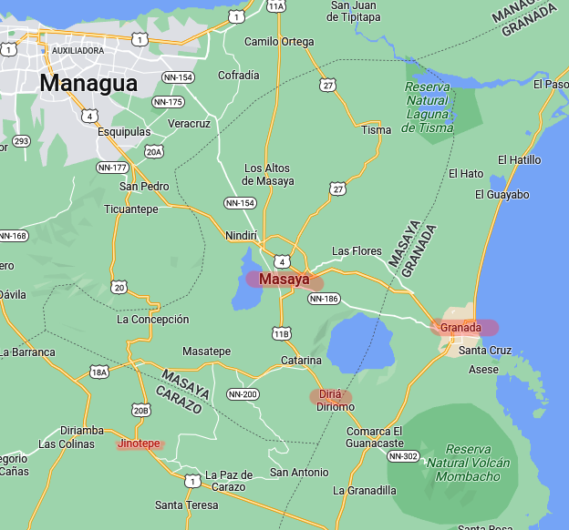
These next two or three articles will feature, along with the current city, Diria, Masaya, and Jinotepe. See map.
Cemetery, left and right: Not too far from our hotel was this cemetery. Along with the beautiful carvings and interesting descriptions there were delicious mangoes on the ground. Everywhere. Unpicked – because they clearly come from all those dead people nearby! Some people are strangely squeamish about this.
Every few days we left with a whole bagful.
Center: One of several memorial markers on a side street.
A horse is getting good exercise along Lake Nicaragua. This is by the dock area, where ships used to go to Ometepe Island.
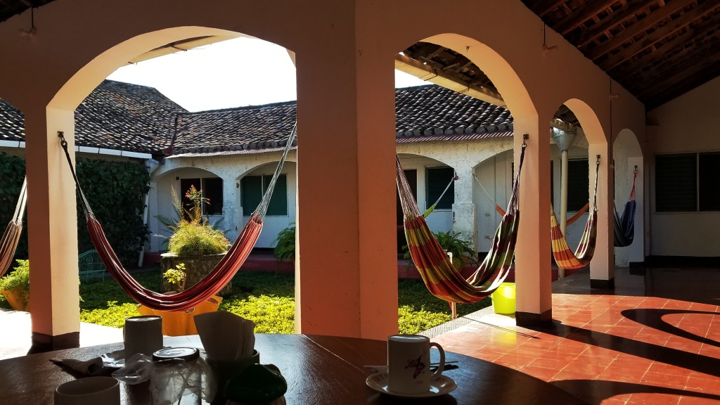
Hotel Arca de Noe. In our eighteen months away from the US on this particular trip we have stayed here more than any other hotel. It truly is our home away from home. Great staff, accommodations, and fellow guests. Great value for the money. Highly recommended. We made friends here from China, Germany, Poland, France, just to name a few. It was a pleasure to compare travel notes and put some of other language skills to use.

Every morning here starts out with breakfast, coffee and, more often than not, interesting convo.
Left: Cinnamon Hummingbird, Amazilia rutila
Right, top: Blue-gray Tanager, Thraupis episcopus
Center: Northern Jacana, Jacana spinosa
Bottom: Scrub Euphonia, Euphonia affinis
It was a pleasure exploring the streets and alleyways of this town.
Trash day. Hustling instead of hydraulics gets the job done here.
Left: Iglesia de la Merced built in 1534, just a decade after the establishment of the city itself, oldest church in Granada. For a fee of 30 cordoba (less than a dollar) you can ascend to the bell tower to get a great view of the town and lake.
Center: Young Granadians trending down the Paseo de los Mangoes leading to the lakefront. The street is well-named. We would do our best some mornings to get as many fallen mangoes as we could before the street-sweepers gathered them as trash.
Right: Iglesia de Xalteva, named after the indigenous people who lived here before Spaniards took over..
Ortega assassin” is written on the battered wall. Nearby here and also batteredburnt and blasted, as well – was the Palacio. It had been targeted by mobs about a month before we arrived here the first time. And the second time we returned next year it was still not repaired. Who burned it down? Government or anti-government elements? Who knows? Each side blames the other.

I still like this photo, though.

Next: Masaya and Diria.

Nicaraguan Adventures 2: Ometepe Island

Here is a glimpse of this most intriguing Nicaraguan Island. It was both enjoyable and frustrating. More on that later. Here are some pictures, most of which can be selected for a better view.

Volcan Concepcion dominates the left half of the photo. This was taken as our ferry approached Moyogalpa, also visible on the left. On the far right distance is Volcan Madera, the other volcano that makes up this dumbbell-shaped island. Most nature enthusiasts try to make it to this more remote volcano because the wilderness is better protected there. But, at least when we were there, the roads were worse and the hotels more expensive.

The gash on Volcan Concepcion is from the most recent eruption in 2010. It was a rather dangerous event, villagers were warned to leave the island but, as is the case in places like this, almost all preferred to stay.

The maps below show clearly the dumbbell shape of the island, most of the landmass being slopes of the volcanoes. Very fertile slopes, too. The residents have long since planted fields ever creeping up the slopes of the volcanoes. Most of the population – and the better infrastructure – is on the north part of the island. This can be seen by the greater number of services and tourist accommodations on the map on the right. But the southern volcano has more pristine nature. Unfortunately, harder to get to and more expensive to stay there.

The map on the left shows the four places where we spent the most of our time. The ferry landed at Moyogalpa and that is where we spent the first night or two. After that we took a creaky bus over to Altagracia on the northeast coast. In between the two mountains is a stream and a nature trail with fantastic large trees. I felt like I was on the set of Jurassic Park! No dinosaur, though, but I did blunder onto a trail of angry ants. Really painful bites! Lots of them. And I was on the trail too.

A lot of the horse power here was also burro and oxen power.
Left. Tamarind tree. The fruits here are not ripe yet. Center. Our lunch in Balgue. Tilapia for her and spare ribs for me. Also fried bananas covered with corn meal. Right. On our vain trip to find a nature trail on Concepcion we saw these young fellows energetically threshing sorghum against a wooden beam.
The slope of the southeastern volcano, Madera, trends more directly into the lake. The overall lack of level land hinders population growth here. Less population means less roads and cultivation – better wildlife. The photo above is of our vain attempt to get to a nature trail on the northern volcano. Cultivation was obvious on both sides of the dirt road. Finally – by this time we were pretty tired out – we came to what you see here. Does this look like a nature park? Disappointing.
Animal life here is spectacular if you go to the right places. Most of these photos are from the Charco Nature Reserve. Clockwise from the top-left:
1. Ringed Kingfisher, Megaceryle torquata. I saw this bird along with the Amazon Kingfisher. Fishing must be good at the Charco Reserve.
2. Mangrove Swallow, Tachycineta albilinea, greeted us as we approached the port of Moyagalpa.
3. Mantled Howler, Alouatta palliata. We saw several of these at the reserve.
4. White-throated Magpie-Jay, Calocitta formosa. One of the loudest and most common of birds, but always fun to watch.
5. Summer Tanager, Piranga rubra. A familiar bird from the US.
6. Black-headed Trogon, Trogon melanocephalus. If you look carefully you can see the spider web by his beak. He is helping himself to the odd bits of insects, wrecking the spiders handiwork in the process.

Center. This photo does not belong here – but neither do these two boys, caught fishing in the Nature Reserve. Poaching is a serious problem here. It is especially serious for the Yellow-naped Amazon Parrots. This island is the last, best refuge for this endangered bird. Many of the nesting sites are robbed of eggs and chicks and sold to the illegal pet trade. And many of the locals, about one fourth of the homes on Ometepe, have these parrots as pets.

Deforestation and general degradation of natural resources will be a theme that comes up time and again in our travels. Admittedly, as travelers and writers about our travels we add to the problem, since we give helpful information to future travelers. But hopefully they will travel with as light a footprint as possible – as we also try to do.

Next: Granada, Dirian, and Masaya