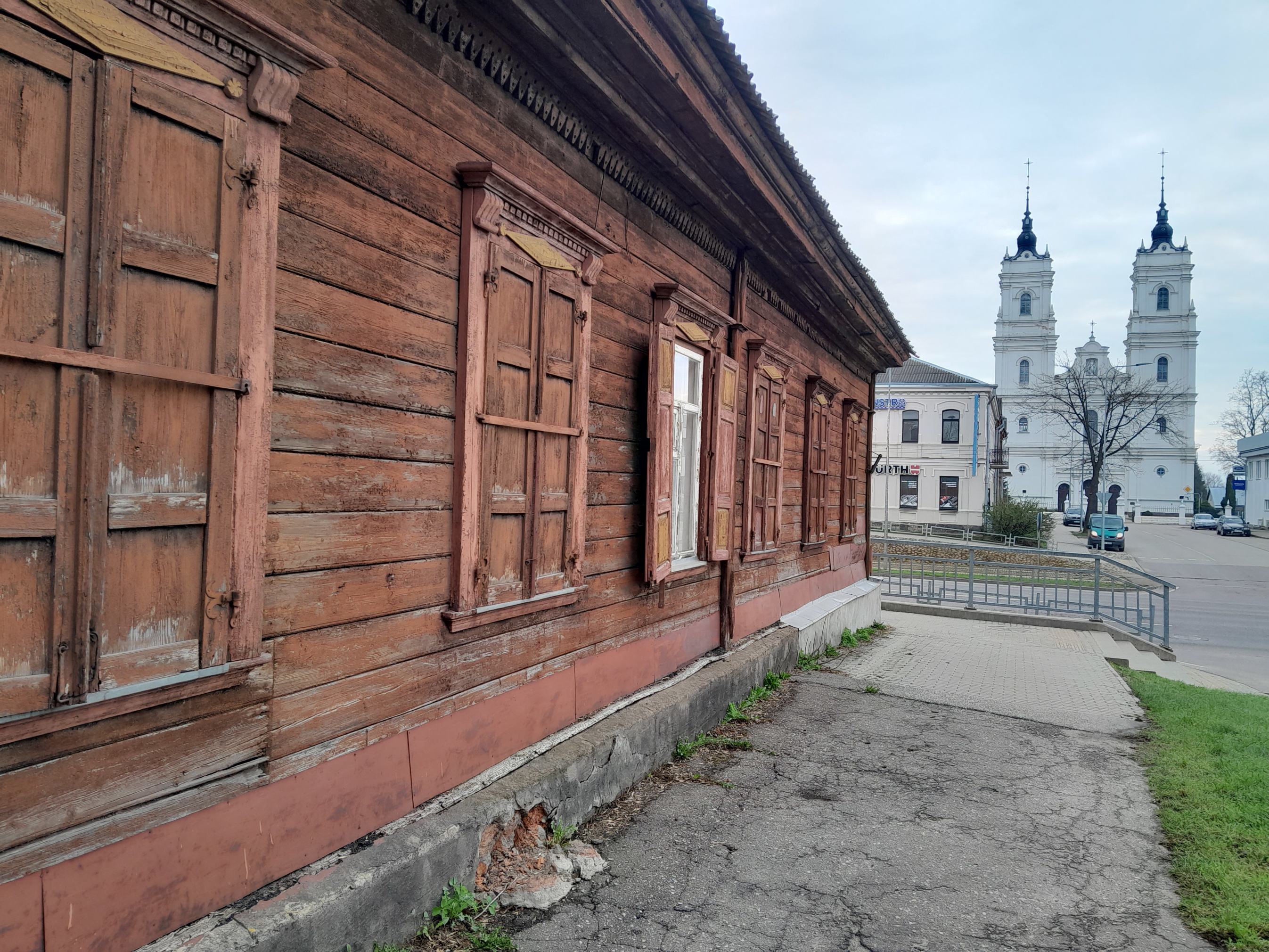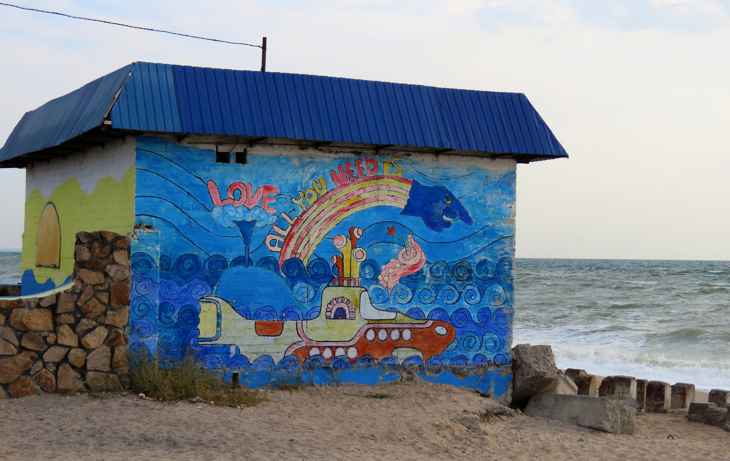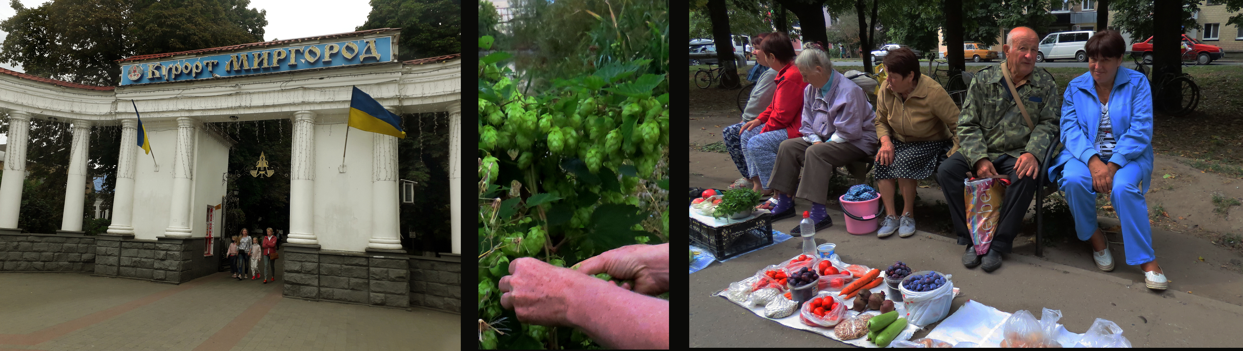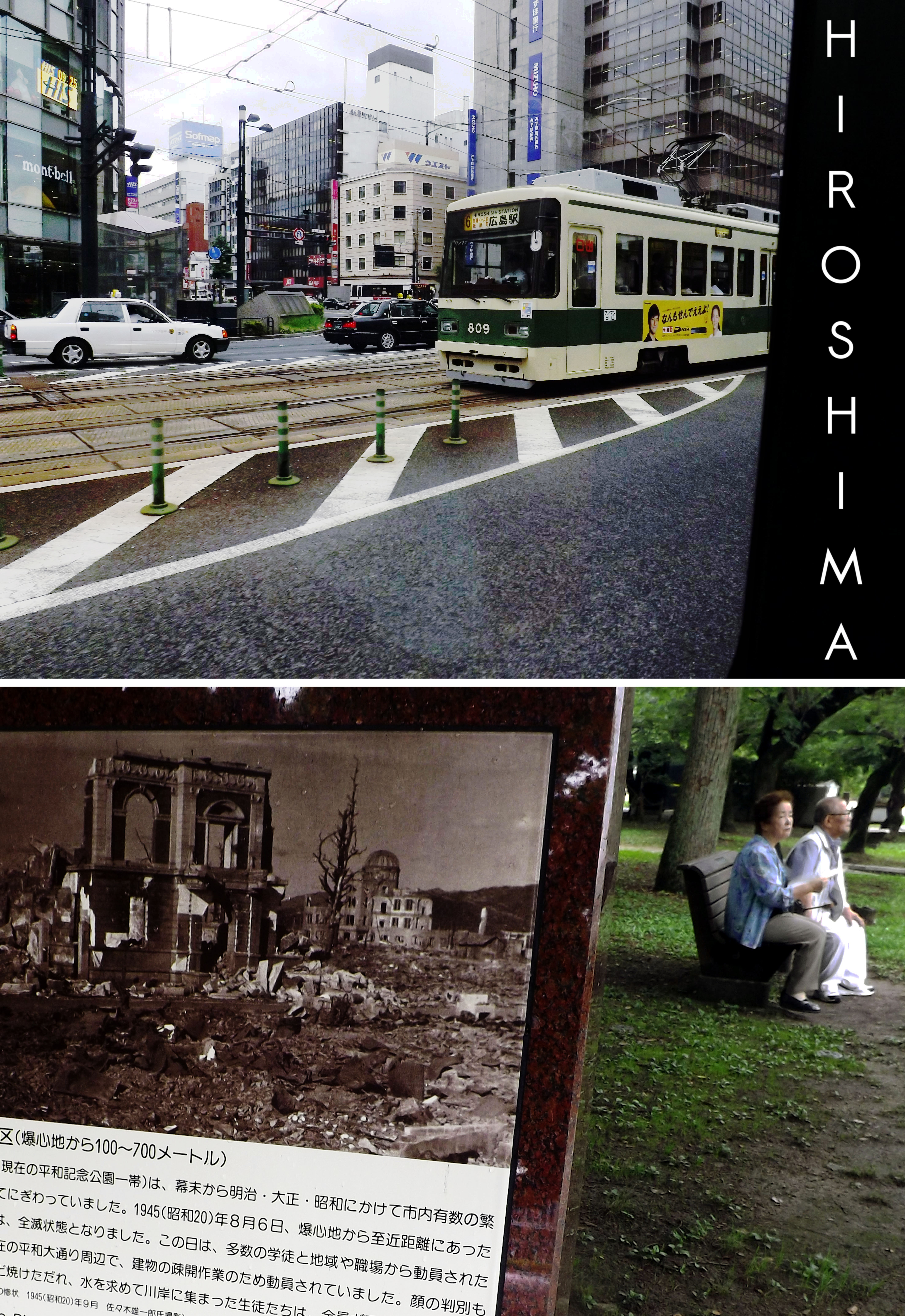
When I first started to write of our experiences in Nicaragua I did not think it would require ten articles, but that is what happened. They say a picture is worth a thousand words. Hmm, according to my Flickr site I have 2,296 pictures of Nicaragua, so I guess it could have run to a lot more then ten articles!
Here are the article links and a short excerpt from each of them:
Nicaraguan Adventures
“When I first planned to write about our trips to Nicaragua I thought I would just make it a one-off. But the more I looked at the many photos I had to choose from – and the more those photos brought back memories almost forgotten – I realized that this will be another multi-parter, just like my Ukraine articles. Oh well, too many photos and too many memories is a good problem to have.”
Nicaraguan Adventures 2: Ometepe Island
“Volcan Concepcion dominates the left half of the photo. This was taken as our ferry approached Moyogalpa, also visible on the left. On the far right distance is Volcan Madera, the other volcano that makes up this dumbbell-shaped island. Most nature enthusiasts try to make it to this more remote volcano because the wilderness is better protected there. But, at least when we were there, the roads were worse and the hotels more expensive.”
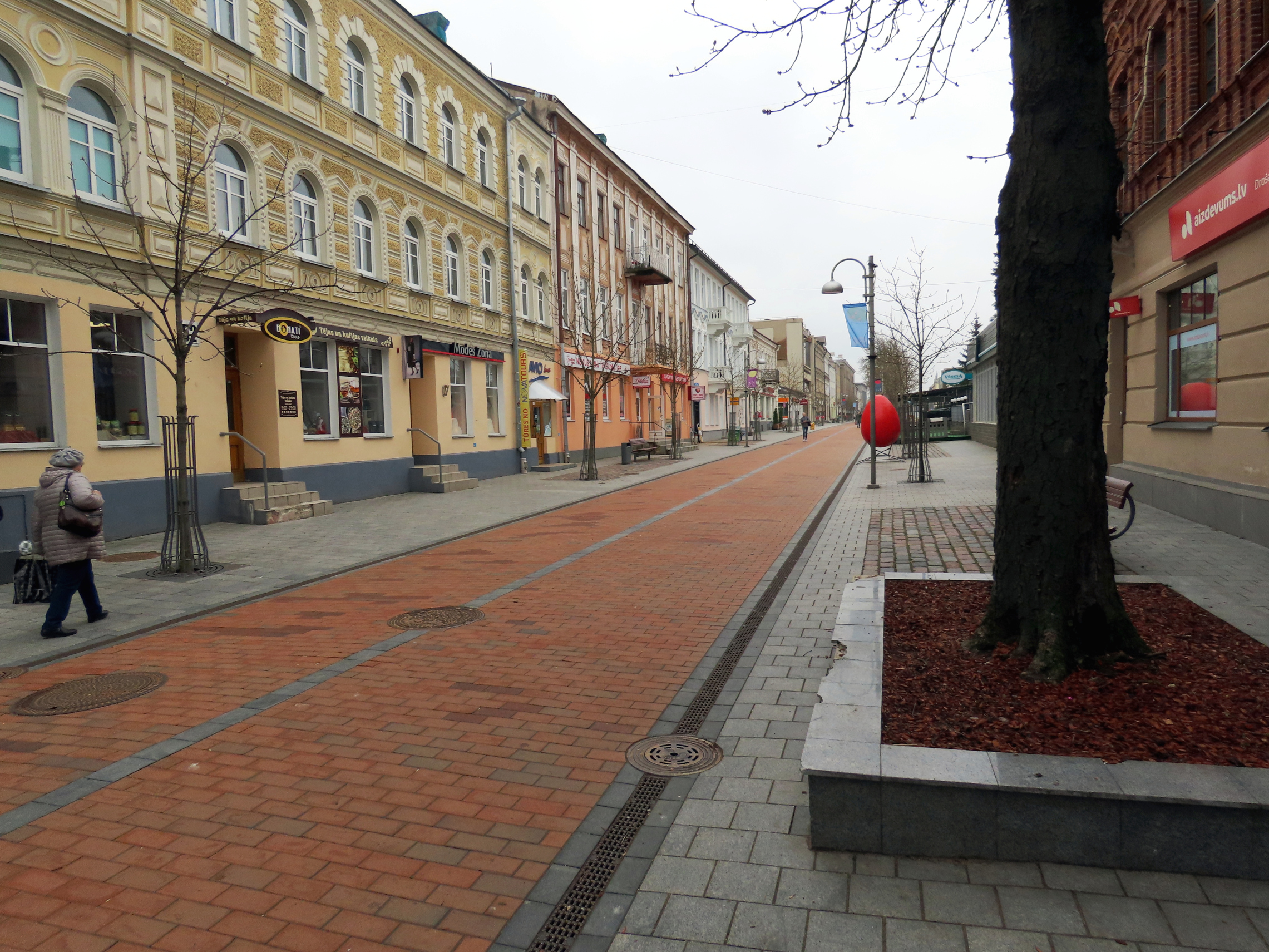
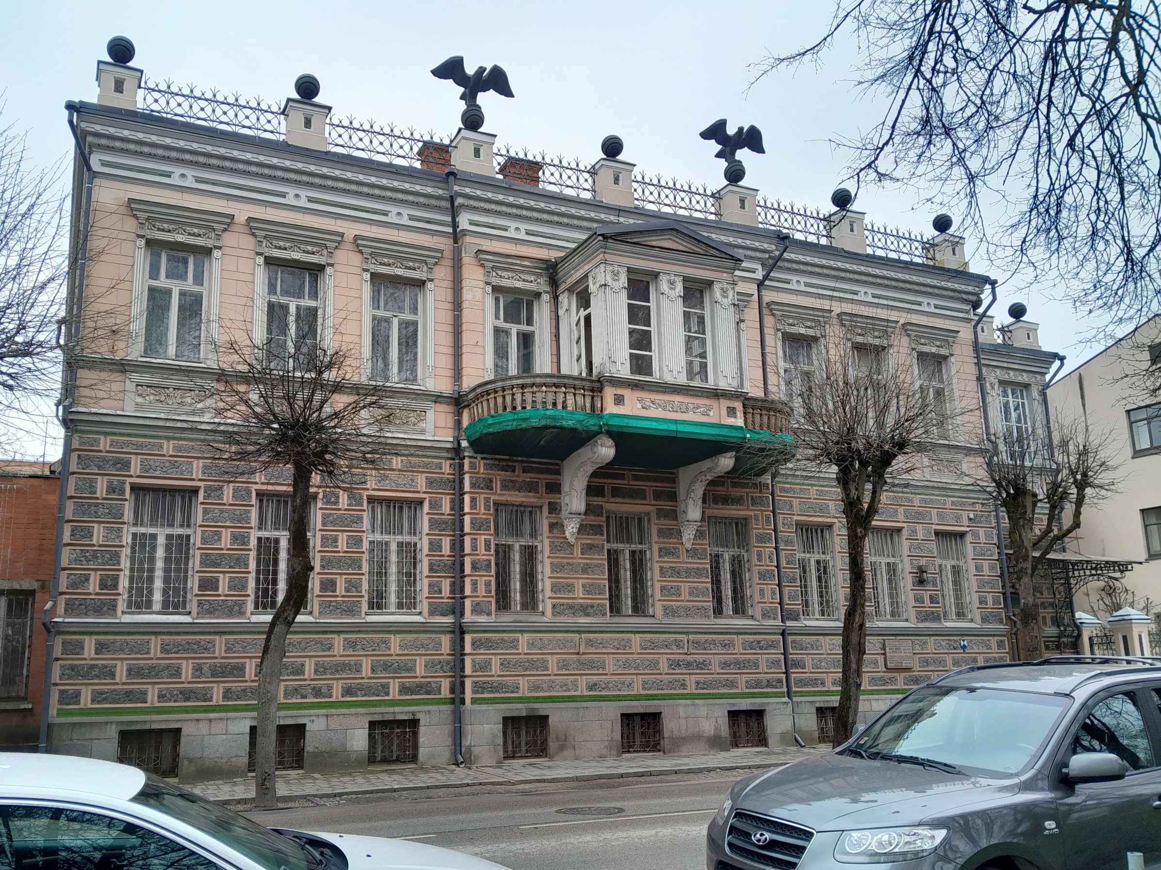
Nicaraguan Adventures 3: Granada
“What a contrast this Granada was with the one we had seen in Spain, the city this one was named after by Francisco Hernandez de Cordoba in 1524, after having, along with Ponce de Leon and Hernan Cortes, conquered the country! Things did not go so well for him in later years when his patriotism lost its luster in the eyes of the new king. He was beheaded. But – on the positive side – his head was immortalized on the new national currency named after him – the cordoba!”
Nicaraguan Adventures 4: Diria and Masaya
“This town, founded 1523, is famous for medicine and magic, curanderos and shamans. On the festival of San Pedro the excited locals “accompany” the saint as he inspects the village, dancing (the townfolk, not Saint Peter) and, in the case of two or three men I saw in a video, waving around machetes like batons. I guess people come here from far and wide to see this, but my wife and I have seen such goings-on before.”
Nicaraguan Adventures 5: Jinotepe and Leon
“These two towns have at least one thing in common although they are not real near each other: They both had no decent hotel available for us. Consequently we spent only one night in each town. So there will be less commentary and more pictures for this segment.”
Nicaraguan Adventures 6: Jinotega, Selva Negra, and Matagalpa
“This is the scene my wife and I, sitting down after a hike up the mountain, were enjoying when the masked young man came out of the bushes. “I want that phone”, he said, holding up his machete. My wife threw down some money, but he didn’t want that.
“Give me the phone or I’ll kill you.“
“Kill me then“, I said, standing up. At the same time my wife stood up and yelled, “Ladron!” (“Thief”). At this point he lost his nerve, running back into the bushes. I threw a rock at him but don’t think I hit him. We were a bit shaken after this and reported the incident to the police. They faulted us for not going up the mountain with a police escort! I doubt if they even filed a report.”
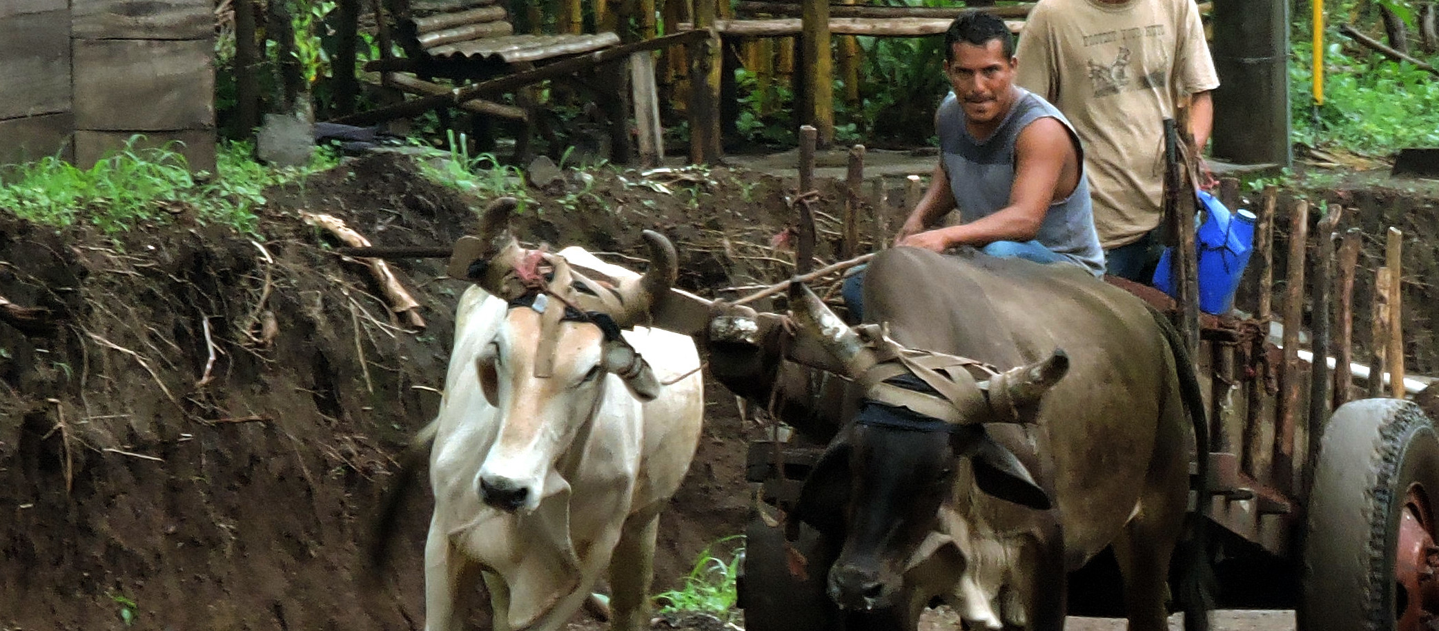
Nicaraguan Adventures 7: Sebaco, Boaco, and Juigalpa
“The high point of the town of Juigalpa – literally – is the Mirador Loma de Tamames also called the Mirador Sandino boasts a
two dimensional representation – also literally -of their heroic General Sandino. A pleasant enough setting to enjoy the view and relax on benches decorated with paintings of cattle and birds that are now rarely seen near the town.”
Nicaraguan Adventures 8: Somoto & Chinandega
“We stayed at the aptly-named Hotel Panamericano, two blocks off of the international highway of the same name. Of course, “highway” may be misleading. This is just a main two-lane road cluttered with slow-moving traffic, pedestrians, and donkeys. In fact, Somoto is also called “el Pueblo de los Burros” – “Town of the Donkeys”.”
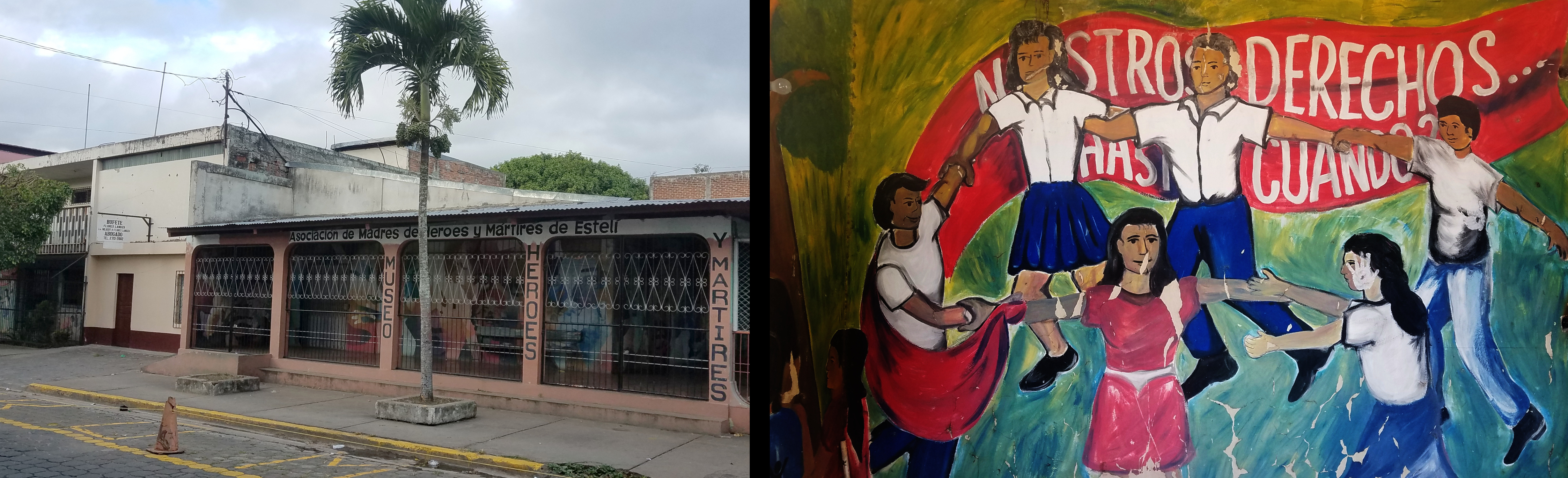
Nicaraguan Adventures 9: Esteli
“In many ways Esteli is quite the contrast to Chinandega (see previous article). The city , 3rd or 7th largest in the country, depending on which website you believe, it manages a laid-back atmosphere without the sketchiness of the previous town.”
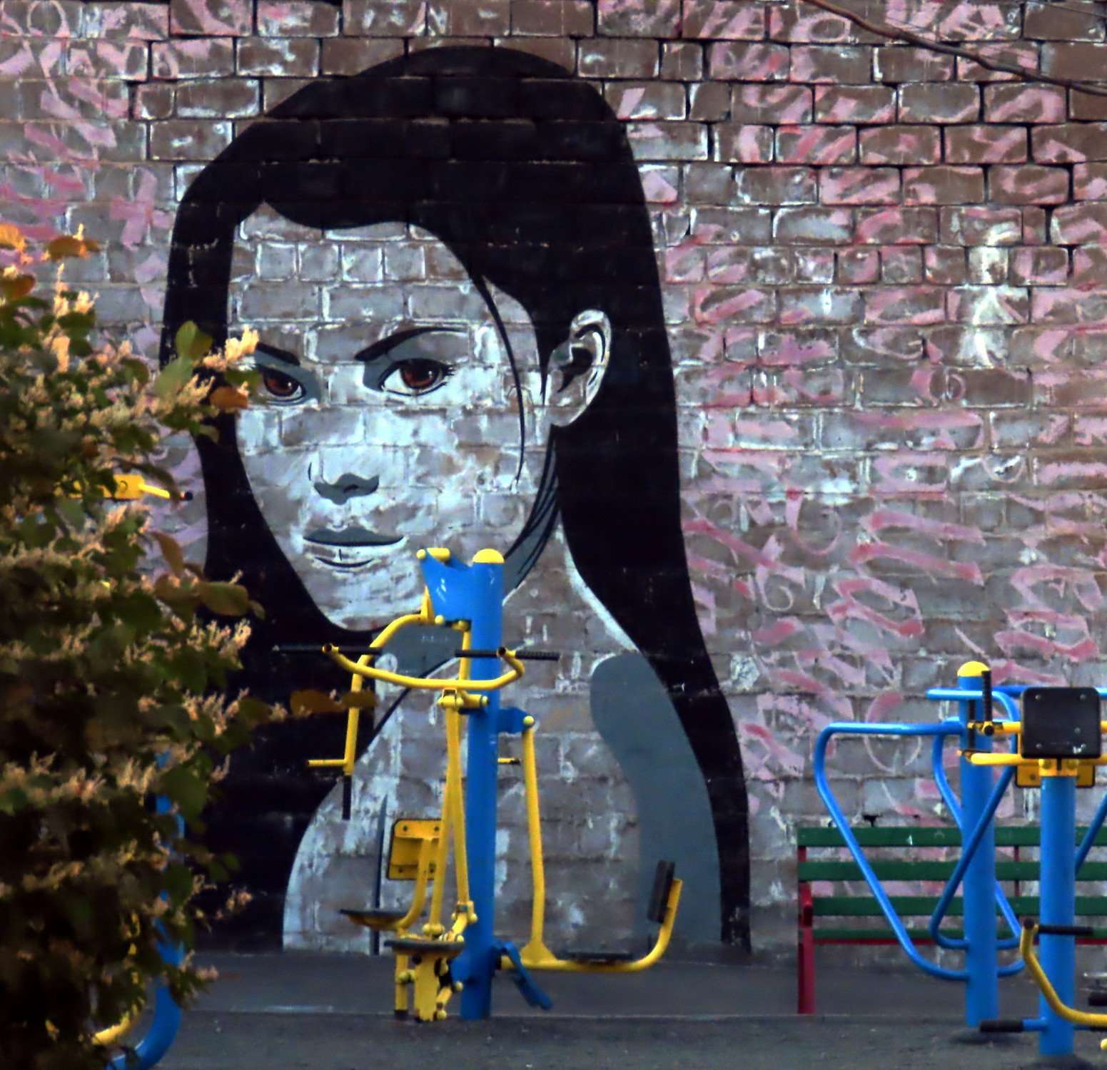
“Many of the murals had revolutionary themes. Not surprisingly seeing that this city suffered immensely during the revolution in the 1980’s. The Nicaraguan populace finally won freedom over the Somoza dictatorship but not before serious bombardments from the latter. Esteli, especially, suffered major damage.”
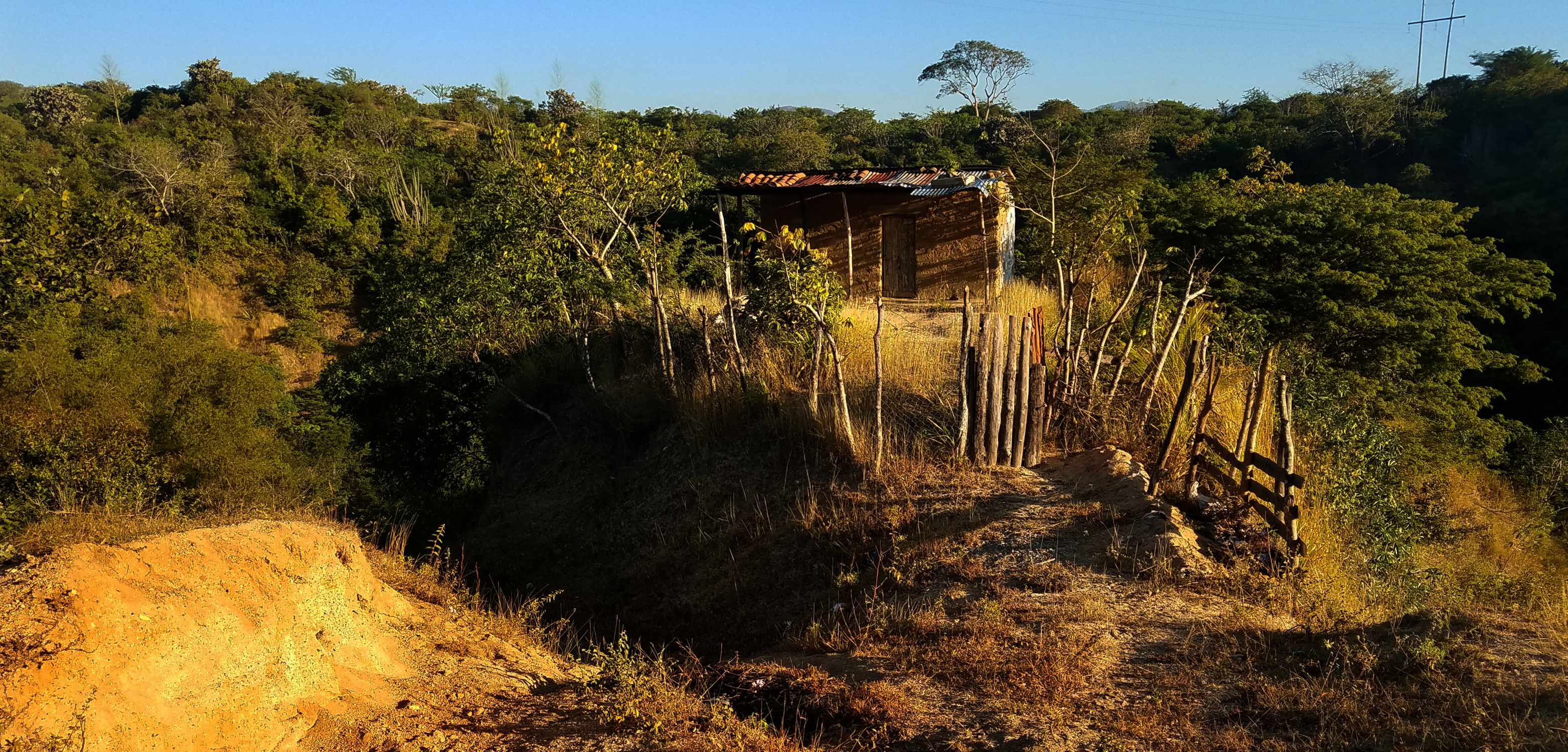
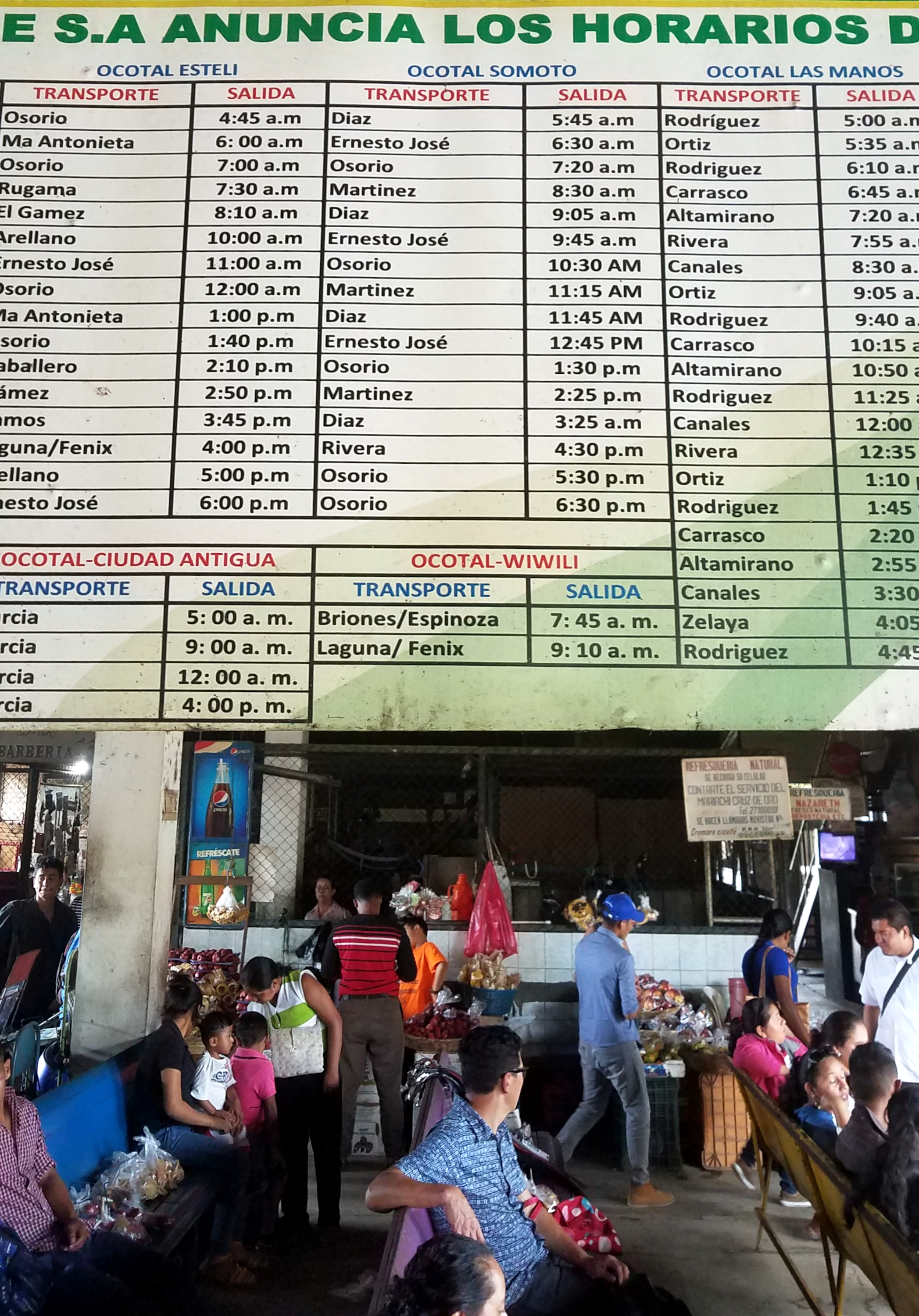
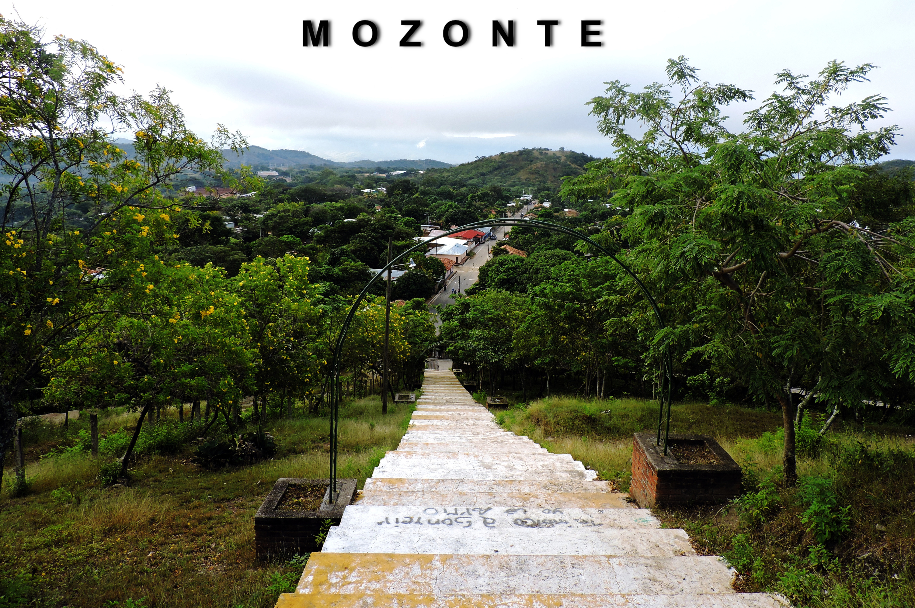
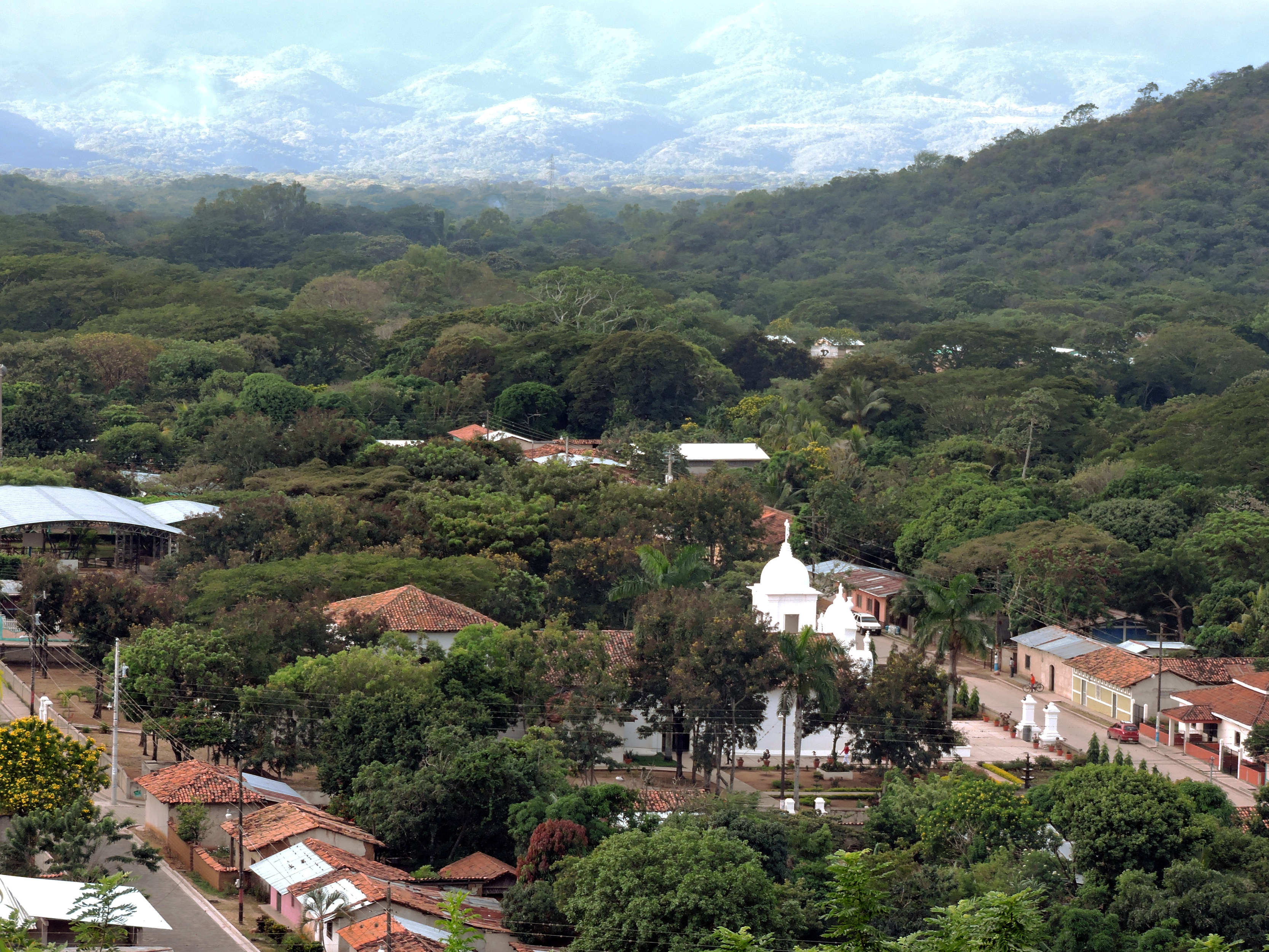
Nicaraguan Adventures 10: Ocotal & Mozonte
“American history that did not make it into most American history books, certainly not the ones I taught with: Uncle Sam turning Nicaragua into its own bloody stomping ground. I have taught high school and junior high history for several years and never came across the embarrassing information I learned from my visit of the local history museum here in Ocotal. I knew the general strokes, the “who” and “where“, but never really processed the underlying “why” of it all. From the 1930’s to the Iran-Contra Scandal of the 1980’s our country’s actions were quite at odds with the democratic platitudes we preached. We were not on the side of the angels on this one.”